17158 Whitehouse Farm Dr Beaverdam, VA 23015
Estimated Value: $416,000 - $514,000
3
Beds
2
Baths
1,900
Sq Ft
$246/Sq Ft
Est. Value
About This Home
This home is located at 17158 Whitehouse Farm Dr, Beaverdam, VA 23015 and is currently estimated at $467,668, approximately $246 per square foot. 17158 Whitehouse Farm Dr is a home located in Hanover County with nearby schools including Beaverdam Elementary School, Liberty Middle School, and Patrick Henry High School.
Ownership History
Date
Name
Owned For
Owner Type
Purchase Details
Closed on
Aug 1, 2002
Sold by
Crisp Stephen B
Bought by
Tuck Michele M
Current Estimated Value
Home Financials for this Owner
Home Financials are based on the most recent Mortgage that was taken out on this home.
Original Mortgage
$161,000
Outstanding Balance
$68,273
Interest Rate
6.58%
Estimated Equity
$399,395
Create a Home Valuation Report for This Property
The Home Valuation Report is an in-depth analysis detailing your home's value as well as a comparison with similar homes in the area
Home Values in the Area
Average Home Value in this Area
Purchase History
| Date | Buyer | Sale Price | Title Company |
|---|---|---|---|
| Tuck Michele M | $8,000 | -- |
Source: Public Records
Mortgage History
| Date | Status | Borrower | Loan Amount |
|---|---|---|---|
| Open | Tuck Michele M | $161,000 |
Source: Public Records
Tax History Compared to Growth
Tax History
| Year | Tax Paid | Tax Assessment Tax Assessment Total Assessment is a certain percentage of the fair market value that is determined by local assessors to be the total taxable value of land and additions on the property. | Land | Improvement |
|---|---|---|---|---|
| 2025 | $3,620 | $446,900 | $132,500 | $314,400 |
| 2024 | $3,620 | $446,900 | $132,500 | $314,400 |
| 2023 | $3,305 | $429,200 | $129,200 | $300,000 |
| 2022 | $3,052 | $376,800 | $105,700 | $271,100 |
| 2021 | $2,556 | $315,600 | $95,300 | $220,300 |
| 2020 | $2,556 | $315,600 | $95,300 | $220,300 |
| 2019 | $2,302 | $315,600 | $95,300 | $220,300 |
| 2018 | $2,302 | $284,200 | $94,300 | $189,900 |
| 2017 | $2,302 | $284,200 | $94,300 | $189,900 |
| 2016 | $2,061 | $254,500 | $91,300 | $163,200 |
| 2015 | $2,061 | $254,500 | $91,300 | $163,200 |
| 2014 | $2,061 | $254,500 | $91,300 | $163,200 |
Source: Public Records
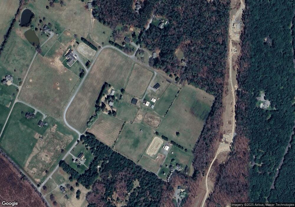
Map
Nearby Homes
- 12434 New Market Mill Rd
- 17133 Katy Ln
- 16349 Reed Town Ln
- 16361 Little River Dr
- 12262 Welling Hall Rd
- 18001 Narrow Path Trail
- 0 Narrow Path Trail
- 16884 Watchman Way
- 16889 Watchman Way
- 15489 Campbell Lake Rd
- 16877 Watchman Way
- 16850 Sheppards Fold Way
- Roanoke Plan at Sheppards Fold
- The Jemma Plan at Sheppards Fold
- Colfax Plan at Sheppards Fold
- Davidson Plan at Sheppards Fold
- The Pennington Plan at Sheppards Fold
- The Cambridge Plan at Sheppards Fold
- The Elliott Plan at Sheppards Fold
- The Hayden Lee Plan at Sheppards Fold
- 17094 Whitehouse Farm Dr
- 17151 Whitehouse Farm Dr
- 17090 Whitehouse Farm Dr
- 17171 Whitehouse Farm Dr
- 17159 Whitehouse Farm Dr
- 17143 Whitehouse Farm Dr
- 17088 Whitehouse Farm Dr
- 17097 Whitehouse Farm Dr
- 17214 Burchett Ln
- 17215 Burchett Ln
- 13222 Old Ridge Rd
- 17176 El Capone Way
- 17115 Whitehouse Farm Dr
- 17081 Whitehouse Farm Dr
- 17201 El Capone Way
- 17080 Whitehouse Farm Dr
- 17187 El Capone Way
- 17254 Burchett Ln
- 17155 White Pine Rd
- 17121 White Pine Rd