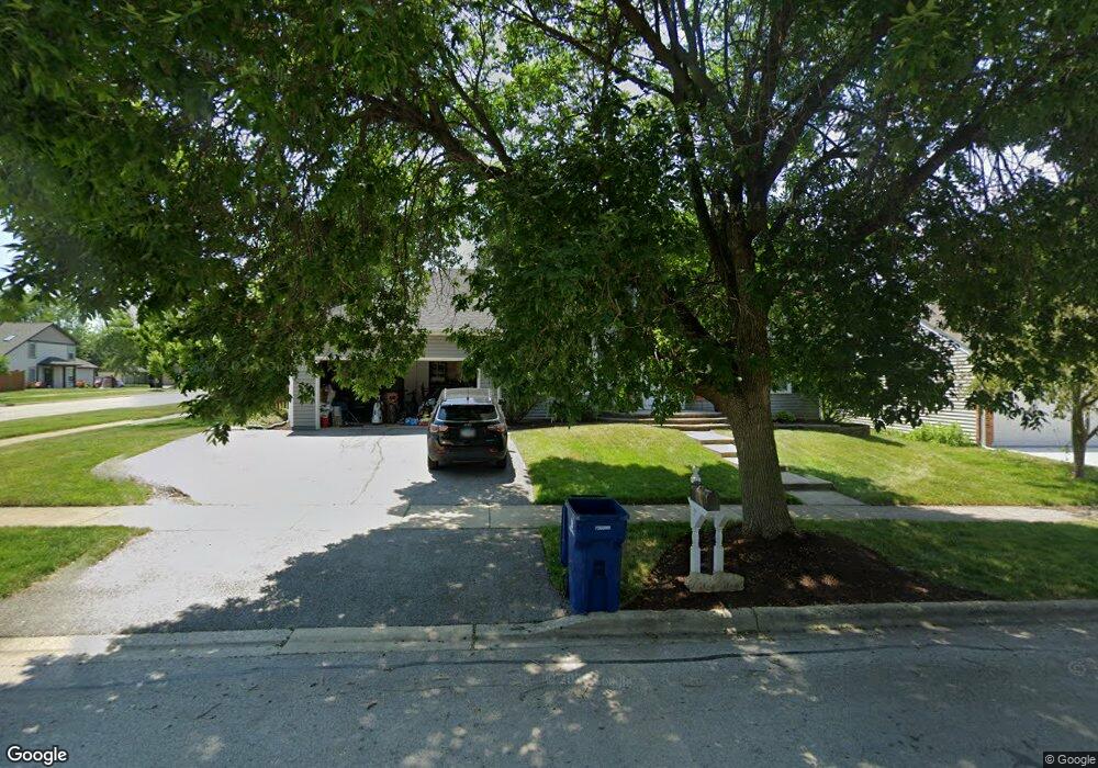
1716 77th St Naperville, IL 60565
Ranch View NeighborhoodEstimated Value: $564,000 - $692,000
4
Beds
3
Baths
2,543
Sq Ft
$246/Sq Ft
Est. Value
About This Home
This home is located at 1716 77th St, Naperville, IL 60565 and is currently estimated at $624,320, approximately $245 per square foot. 1716 77th St is a home located in DuPage County with nearby schools including Ranch View Elementary School, Kennedy Junior High School, and Naperville Central High School.
Ownership History
Date
Name
Owned For
Owner Type
Purchase Details
Closed on
Apr 30, 2003
Sold by
Quast John A and Quast Linda A
Bought by
Cerney Michael and Cerney Patricia
Current Estimated Value
Home Financials for this Owner
Home Financials are based on the most recent Mortgage that was taken out on this home.
Original Mortgage
$258,750
Outstanding Balance
$111,155
Interest Rate
5.87%
Mortgage Type
Stand Alone First
Estimated Equity
$513,165
Purchase Details
Closed on
Mar 25, 1994
Sold by
Cappelleri Philip A and Cappelleri Sonja A
Bought by
Quast John A and Quast Linda A
Home Financials for this Owner
Home Financials are based on the most recent Mortgage that was taken out on this home.
Original Mortgage
$177,850
Interest Rate
7.35%
Create a Home Valuation Report for This Property
The Home Valuation Report is an in-depth analysis detailing your home's value as well as a comparison with similar homes in the area
Home Values in the Area
Average Home Value in this Area
Purchase History
| Date | Buyer | Sale Price | Title Company |
|---|---|---|---|
| Cerney Michael | $345,000 | Law Title | |
| Quast John A | $209,500 | Attorneys Title Guaranty Fun |
Source: Public Records
Mortgage History
| Date | Status | Borrower | Loan Amount |
|---|---|---|---|
| Open | Cerney Michael | $258,750 | |
| Previous Owner | Quast John A | $177,850 | |
| Closed | Cerney Michael | $51,750 |
Source: Public Records
Tax History
| Year | Tax Paid | Tax Assessment Tax Assessment Total Assessment is a certain percentage of the fair market value that is determined by local assessors to be the total taxable value of land and additions on the property. | Land | Improvement |
|---|---|---|---|---|
| 2024 | $10,277 | $178,347 | $57,075 | $121,272 |
| 2023 | $9,903 | $162,770 | $52,090 | $110,680 |
| 2022 | $9,303 | $152,120 | $48,680 | $103,440 |
| 2021 | $8,963 | $146,370 | $46,840 | $99,530 |
| 2020 | $8,772 | $141,500 | $46,000 | $95,500 |
| 2019 | $8,516 | $135,380 | $44,010 | $91,370 |
| 2018 | $8,518 | $135,380 | $44,010 | $91,370 |
| 2017 | $8,347 | $130,820 | $42,530 | $88,290 |
| 2016 | $8,180 | $126,090 | $40,990 | $85,100 |
| 2015 | $8,127 | $118,740 | $38,600 | $80,140 |
| 2014 | $7,852 | $111,490 | $36,240 | $75,250 |
| 2013 | $7,734 | $111,760 | $36,330 | $75,430 |
Source: Public Records
Map
Nearby Homes
- 1896 Appaloosa Dr Unit 7
- 1653 Kenyon Dr
- 1509 Shiva Ln
- 1405 E Bailey Rd
- 8S295 College Rd
- 1404 Chelsea Ln
- 1864 Slippery Rock Rd
- 1255 E Bailey Rd
- 23W731 Hobson Rd
- 24W141 Hobson Rd
- 1909 Montclair Dr
- 23W711 Hobson Rd
- 1007 River Oak Dr
- 8S230 Hampton Cir
- 1333 Purdue Ave
- 1406 River Oak Dr
- 3805 Gladstone Dr
- 1449 Whitespire Ct Unit 5104
- 7S460 Donwood Dr W
- 2504 Sun Valley Rd
- 1712 77th St
- 1717 77th St Unit 1
- 1558 Ranchview Dr
- 1708 77th St
- 1560 Ranchview Dr
- 1509 Ranchview Dr
- 1713 77th St
- 1801 Appaloosa Dr
- 1802 Appaloosa Dr
- 1800 Appaloosa Dr
- 1759 Knox Ct
- 1801 Shetland Rd
- 1758 Knox Ct
- 1704 77th St
- 1709 77th St
- 1550 Ranchview Dr
- 1803 Shetland Rd
- 1804 Appaloosa Dr
- 1513 Ranchview Dr Unit 1
- 1803 Appaloosa Dr
Your Personal Tour Guide
Ask me questions while you tour the home.