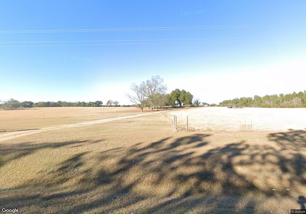
1716 Whites Bridge Rd Colquitt, GA 39837
Estimated Value: $362,000 - $496,183
--
Bed
1
Bath
3,273
Sq Ft
$130/Sq Ft
Est. Value
About This Home
This home is located at 1716 Whites Bridge Rd, Colquitt, GA 39837 and is currently estimated at $425,546, approximately $130 per square foot. 1716 Whites Bridge Rd is a home with nearby schools including Bainbridge High School.
Ownership History
Date
Name
Owned For
Owner Type
Purchase Details
Closed on
Jan 30, 2020
Sold by
Mcnease Brandan G
Bought by
George Joseph Calvin
Current Estimated Value
Home Financials for this Owner
Home Financials are based on the most recent Mortgage that was taken out on this home.
Original Mortgage
$262,012
Interest Rate
3.72%
Mortgage Type
New Conventional
Purchase Details
Closed on
Jan 20, 2011
Sold by
Miller John W
Bought by
Mcnease Brandan G and Mcnease Laura S
Home Financials for this Owner
Home Financials are based on the most recent Mortgage that was taken out on this home.
Original Mortgage
$224,169
Interest Rate
4.79%
Mortgage Type
FHA
Create a Home Valuation Report for This Property
The Home Valuation Report is an in-depth analysis detailing your home's value as well as a comparison with similar homes in the area
Home Values in the Area
Average Home Value in this Area
Purchase History
| Date | Buyer | Sale Price | Title Company |
|---|---|---|---|
| George Joseph Calvin | $260,000 | -- | |
| Mcnease Brandan G | $230,000 | -- |
Source: Public Records
Mortgage History
| Date | Status | Borrower | Loan Amount |
|---|---|---|---|
| Closed | George Joseph Calvin | $262,012 | |
| Previous Owner | Mcnease Brandan G | $224,169 |
Source: Public Records
Tax History Compared to Growth
Tax History
| Year | Tax Paid | Tax Assessment Tax Assessment Total Assessment is a certain percentage of the fair market value that is determined by local assessors to be the total taxable value of land and additions on the property. | Land | Improvement |
|---|---|---|---|---|
| 2024 | $4,909 | $184,576 | $23,970 | $160,606 |
| 2023 | $4,482 | $184,576 | $23,970 | $160,606 |
| 2022 | $4,604 | $176,049 | $19,950 | $156,099 |
| 2021 | $2,717 | $138,470 | $16,020 | $122,450 |
| 2020 | $3,327 | $121,232 | $16,020 | $105,212 |
| 2019 | $2,929 | $105,130 | $16,020 | $89,110 |
| 2018 | $2,890 | $105,130 | $16,020 | $89,110 |
| 2017 | $3,299 | $105,130 | $16,020 | $89,110 |
| 2016 | $2,826 | $108,700 | $19,590 | $89,110 |
| 2015 | $2,862 | $108,700 | $19,590 | $89,110 |
| 2014 | $2,495 | $108,700 | $19,590 | $89,110 |
| 2013 | -- | $108,700 | $19,590 | $89,110 |
Source: Public Records
Map
Nearby Homes
- 0 Babcock Rd Unit 12263
- 1502 Brinson Rd
- 424 Grassy Flats Rd
- 1203 Bellview Rd
- 0 Newton Rd
- 324 Privett Store Rd
- 0 Johnny Freeman Rd
- 721 E Crawford St
- 708 E Crawford St
- 000 Thompson Town Rd
- 000 Bellview Rd
- 994 Hornsby Rd
- 160 Manhole Rd
- 149 County Line Church Rd
- 2137 Pondtown Rd
- Brinson Airbase Rd
- 00 Manhole Rd
- 102 Bremond St
- 356 E Main St
- 570 E Pine St
- 1735 Whites Bridge Rd
- 20 Babcock Lake Rd
- 1658 Whites Bridge Rd
- 1583 Whites Bridge Rd
- 1612 Whites Bridge Rd
- 91 Babcock Lake Rd
- 3342 N River Rd
- 1855 Whites Bridge Rd
- 3352 N Eldorendo Rd
- 1565 Whites Bridge Rd
- 3317 N Eldorendo Rd
- 1537 Whites Bridge Rd
- 1549 Whites Bridge Rd
- 259 Mason Rd
- 1885 Whites Bridge Rd
- 3 Avenue Rd
- 174 Babcock Lake Rd
- 1523 Whites Bridge Rd
- 1514 Whites Bridge Rd
- 1514 White's Bridge Rd