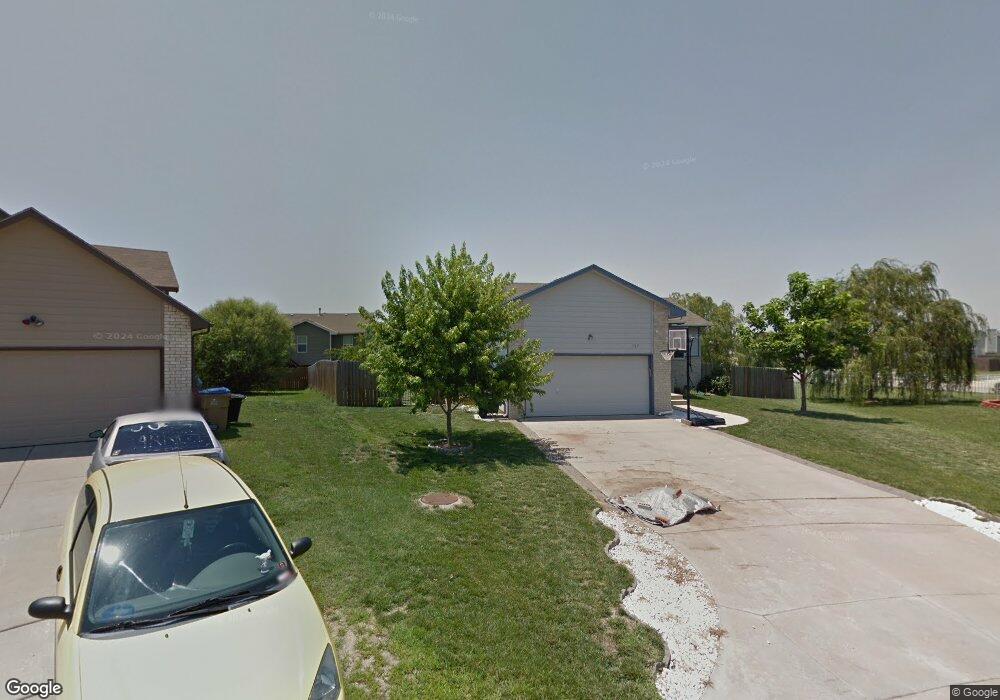
1717 N Hawthorn Ct Andover, KS 67002
Estimated Value: $232,000 - $283,000
5
Beds
3
Baths
1,086
Sq Ft
$241/Sq Ft
Est. Value
About This Home
This home is located at 1717 N Hawthorn Ct, Andover, KS 67002 and is currently estimated at $261,364, approximately $240 per square foot. 1717 N Hawthorn Ct is a home located in Butler County with nearby schools including Robert M. Martin Elementary School, Andover Middle School, and Andover High School.
Ownership History
Date
Name
Owned For
Owner Type
Purchase Details
Closed on
Aug 7, 2020
Sold by
Watson Paul A and Bunn Valerie R
Bought by
Doyle Zhao and Doyle Michael
Current Estimated Value
Home Financials for this Owner
Home Financials are based on the most recent Mortgage that was taken out on this home.
Original Mortgage
$126,000
Outstanding Balance
$111,519
Interest Rate
3%
Mortgage Type
New Conventional
Estimated Equity
$149,845
Create a Home Valuation Report for This Property
The Home Valuation Report is an in-depth analysis detailing your home's value as well as a comparison with similar homes in the area
Home Values in the Area
Average Home Value in this Area
Purchase History
| Date | Buyer | Sale Price | Title Company |
|---|---|---|---|
| Doyle Zhao | -- | Security 1St Title Llc | |
| Doyle Michael | $157,500 | Security First Title |
Source: Public Records
Mortgage History
| Date | Status | Borrower | Loan Amount |
|---|---|---|---|
| Open | Doyle Michael | $126,000 | |
| Closed | Doyle Michael | $126,000 |
Source: Public Records
Tax History Compared to Growth
Tax History
| Year | Tax Paid | Tax Assessment Tax Assessment Total Assessment is a certain percentage of the fair market value that is determined by local assessors to be the total taxable value of land and additions on the property. | Land | Improvement |
|---|---|---|---|---|
| 2025 | $43 | $29,843 | $2,307 | $27,536 |
| 2024 | $43 | $29,204 | $2,307 | $26,897 |
| 2023 | $4,127 | $27,623 | $2,307 | $25,316 |
| 2022 | $4,106 | $23,989 | $2,307 | $21,682 |
| 2021 | $2,497 | $20,799 | $2,307 | $18,492 |
| 2020 | $2,520 | $15,678 | $1,904 | $13,774 |
| 2019 | $3,667 | $15,398 | $1,904 | $13,494 |
| 2018 | $3,560 | $14,777 | $1,904 | $12,873 |
| 2017 | $3,670 | $14,536 | $1,789 | $12,747 |
| 2014 | -- | $123,830 | $15,560 | $108,270 |
Source: Public Records
Map
Nearby Homes
- 1917 N Quail Crossing St
- 1407 W Quail Crossing Ct
- 1726 N Black Oak Ct
- 1936 N Quail Crossing St
- 2283 N 159th Ct E
- 2127 N 159th Ct E
- 1538 N Shadow Rock Dr
- 1526 N Shadow Rock Dr
- 1609 N Lakeside Ct
- 2209 N 159th St E
- 2215 N 159th St E
- 420 Renee Dr
- 1713 Terry Ln
- 1413 N Shadow Rock Dr
- 2229 N 159th St E
- 1447 N Lakeside Dr
- 2235 N 159th St E
- 1911 N Pineview Dr
- 2013 N Grace Avenue Ct
- 704 W Cornerstone Ct
- 1721 N Hawthorn Ct
- 1215 W Basswood Dr
- 1713 N Hawthorn Ct
- 1711 N Hawthorn Ct
- 1718 Buckeye Ct
- 1709 N Hawthorn Ct
- 1707 Buckeye Ct
- 1212 W Basswood Dr
- 1206 W Basswood Dr
- 1218 W Basswood Dr
- 1720 N Hawthorn Cir
- 1705 N Hawthorn Cir
- 1124 W Basswood Dr
- 1224 W Basswood Dr
- 1711 Buckeye Ct
- 1113 W Basswood Dr
- 1730 N Riverbirch Ct
- 1809 N Buckthorn Ct
- 1743 N Honeysuckle St
- 1807 N Buckthorn Ct