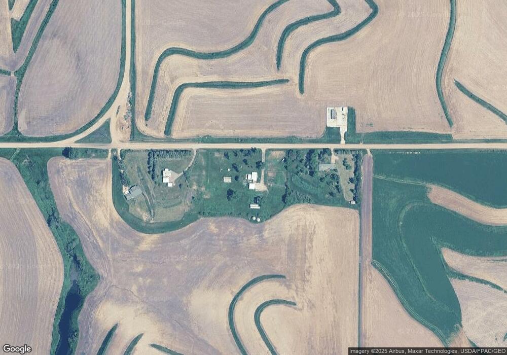
1718 140th St Lawton, IA 51030
Estimated Value: $356,699 - $454,000
4
Beds
3
Baths
2,312
Sq Ft
$172/Sq Ft
Est. Value
About This Home
This home is located at 1718 140th St, Lawton, IA 51030 and is currently estimated at $396,925, approximately $171 per square foot. 1718 140th St is a home located in Woodbury County with nearby schools including Bronson Elementary School and Lawton Junior/Senior High School.
Ownership History
Date
Name
Owned For
Owner Type
Purchase Details
Closed on
Aug 29, 2017
Sold by
Poulson Stacey E and Poulson Wendy R
Bought by
Benson Chad D and Benson Mary F
Current Estimated Value
Home Financials for this Owner
Home Financials are based on the most recent Mortgage that was taken out on this home.
Original Mortgage
$223,250
Outstanding Balance
$186,134
Interest Rate
3.93%
Mortgage Type
New Conventional
Estimated Equity
$210,791
Create a Home Valuation Report for This Property
The Home Valuation Report is an in-depth analysis detailing your home's value as well as a comparison with similar homes in the area
Home Values in the Area
Average Home Value in this Area
Purchase History
| Date | Buyer | Sale Price | Title Company |
|---|---|---|---|
| Benson Chad D | -- | None Available |
Source: Public Records
Mortgage History
| Date | Status | Borrower | Loan Amount |
|---|---|---|---|
| Open | Benson Chad D | $223,250 |
Source: Public Records
Tax History Compared to Growth
Tax History
| Year | Tax Paid | Tax Assessment Tax Assessment Total Assessment is a certain percentage of the fair market value that is determined by local assessors to be the total taxable value of land and additions on the property. | Land | Improvement |
|---|---|---|---|---|
| 2025 | $2,956 | $345,490 | $51,600 | $293,890 |
| 2024 | $2,956 | $321,990 | $33,750 | $288,240 |
| 2023 | $2,932 | $285,630 | $33,750 | $251,880 |
| 2022 | $3,288 | $229,900 | $33,750 | $196,150 |
| 2021 | $3,288 | $229,900 | $33,750 | $196,150 |
| 2020 | $2,890 | $199,100 | $36,110 | $162,990 |
| 2019 | $2,922 | $195,840 | $36,110 | $159,730 |
| 2018 | $2,544 | $188,620 | $28,890 | $159,730 |
| 2017 | $2,544 | $168,880 | $28,890 | $139,990 |
| 2016 | $2,452 | $157,480 | $0 | $0 |
| 2015 | $2,276 | $147,180 | $27,000 | $120,180 |
| 2014 | $2,273 | $147,180 | $27,000 | $120,180 |
Source: Public Records
Map
Nearby Homes
- 2564 Nicklaus Blvd
- 1120 Meadow View Ct Unit 3
- 2600 Nicklaus Blvd
- 2640 Nicklaus Blvd
- 6413 Mickelson St
- 6290 Tiger Dr
- 5641 S Roswell St
- 5651 S Roswell St
- 1441 170th St
- 5208 Laurel Ave
- 3441 Glen Ellen Rd
- 6810 Brookside Dr
- 1909 S Olive St
- 1830 S Maple St
- 6119 Morningside Ave
- 2024 S Maple St
- 1815 S Lemon St
- 6701 Windsong Ct
- 6104 Pine View Dr
- 6700 Windsong Ct