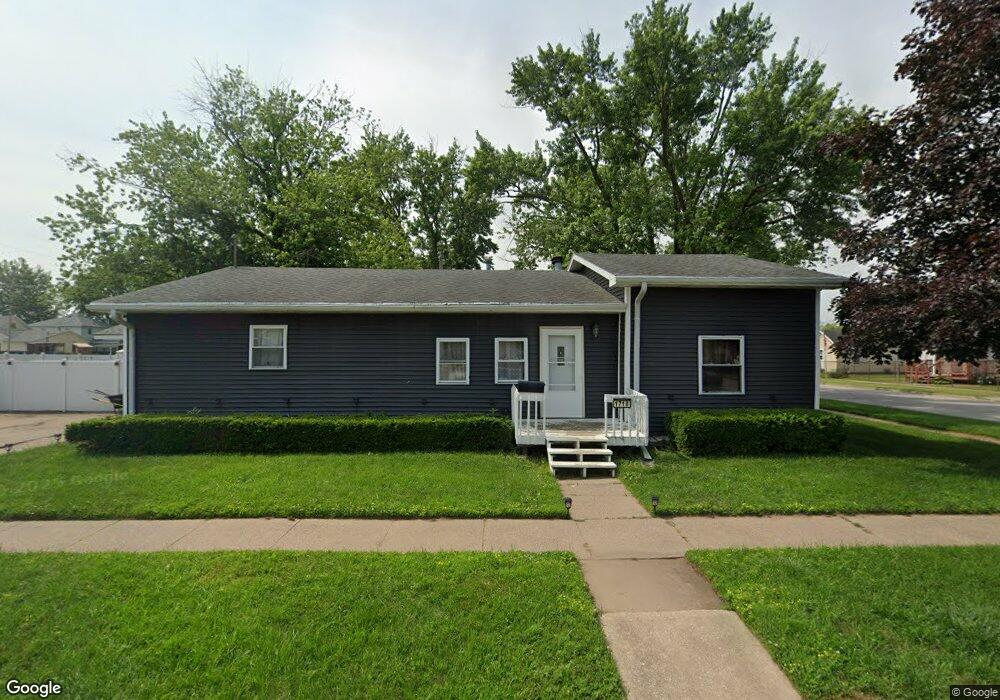
1718 Earl Ave Muscatine, IA 52761
Estimated Value: $129,000 - $161,000
3
Beds
1
Bath
1,711
Sq Ft
$88/Sq Ft
Est. Value
About This Home
This home is located at 1718 Earl Ave, Muscatine, IA 52761 and is currently estimated at $149,732, approximately $87 per square foot. 1718 Earl Ave is a home located in Muscatine County with nearby schools including Franklin Elementary School, Susan Clark Junior High School, and Muscatine High School.
Ownership History
Date
Name
Owned For
Owner Type
Purchase Details
Closed on
Aug 18, 2006
Sold by
Verhelst Thomas C and Verhelst Jackie L
Bought by
Mendoza Alicia
Current Estimated Value
Home Financials for this Owner
Home Financials are based on the most recent Mortgage that was taken out on this home.
Original Mortgage
$136,350
Outstanding Balance
$82,173
Interest Rate
6.83%
Mortgage Type
Credit Line Revolving
Estimated Equity
$67,559
Create a Home Valuation Report for This Property
The Home Valuation Report is an in-depth analysis detailing your home's value as well as a comparison with similar homes in the area
Home Values in the Area
Average Home Value in this Area
Purchase History
| Date | Buyer | Sale Price | Title Company |
|---|---|---|---|
| Mendoza Alicia | $87,500 | None Available |
Source: Public Records
Mortgage History
| Date | Status | Borrower | Loan Amount |
|---|---|---|---|
| Open | Mendoza Alicia | $136,350 |
Source: Public Records
Tax History Compared to Growth
Tax History
| Year | Tax Paid | Tax Assessment Tax Assessment Total Assessment is a certain percentage of the fair market value that is determined by local assessors to be the total taxable value of land and additions on the property. | Land | Improvement |
|---|---|---|---|---|
| 2025 | $2,380 | $140,500 | $11,100 | $129,400 |
| 2024 | $2,380 | $131,280 | $11,100 | $120,180 |
| 2023 | $2,474 | $131,631 | $11,130 | $120,501 |
| 2022 | $2,158 | $122,970 | $10,500 | $112,470 |
| 2021 | $2,158 | $105,760 | $10,500 | $95,260 |
| 2020 | $1,776 | $84,500 | $9,000 | $75,500 |
| 2019 | $1,800 | $81,490 | $0 | $0 |
| 2018 | $1,941 | $81,210 | $0 | $0 |
| 2017 | $1,770 | $75,510 | $0 | $0 |
| 2016 | $1,708 | $75,510 | $0 | $0 |
| 2015 | $1,708 | $81,330 | $0 | $0 |
| 2014 | $1,852 | $81,330 | $0 | $0 |
Source: Public Records
Map
Nearby Homes
- 1708 Schley Ave
- 609 Liberty St
- 2108 Breese Ave
- 1908 Sampson St
- LOTS 30-34 Evans St
- 1909 Wallace St
- 0 Towhead Island Unit 23-716
- 111 Gilbert St
- 1903 Hershey Ave
- 1827 Hershey Ave
- 0 Parcel 1302108019 (Busch St)
- 900 W 3rd St
- LOT 5 Pine Ridge
- LOT 4 Pine Ridge
- LOT 6 Pine Ridge
- 1603 Lucas St
- 701 W Mississippi Dr
- 0 High Street Parcel
- 613 W 5th St
- 1143 Logan St
- 1010 Nebraska St
- 1001 Nebraska St
- 1709 Earl Ave
- 1713 Earl Ave
- 1001 Oregon St
- 1012 Nebraska St
- 917 Oregon St
- 1808 Earl Ave
- 1005 Nebraska St
- 1007 Nebraska St
- 1020 Nebraska St
- 1013 Oregon St
- 915 Oregon St
- 1810 Earl Ave
- 910 Nebraska St
- 913 Nebraska St
- 1017 Oregon St
- 909 Oregon St
- 908 Nebraska St
- 1019 Nebraska St