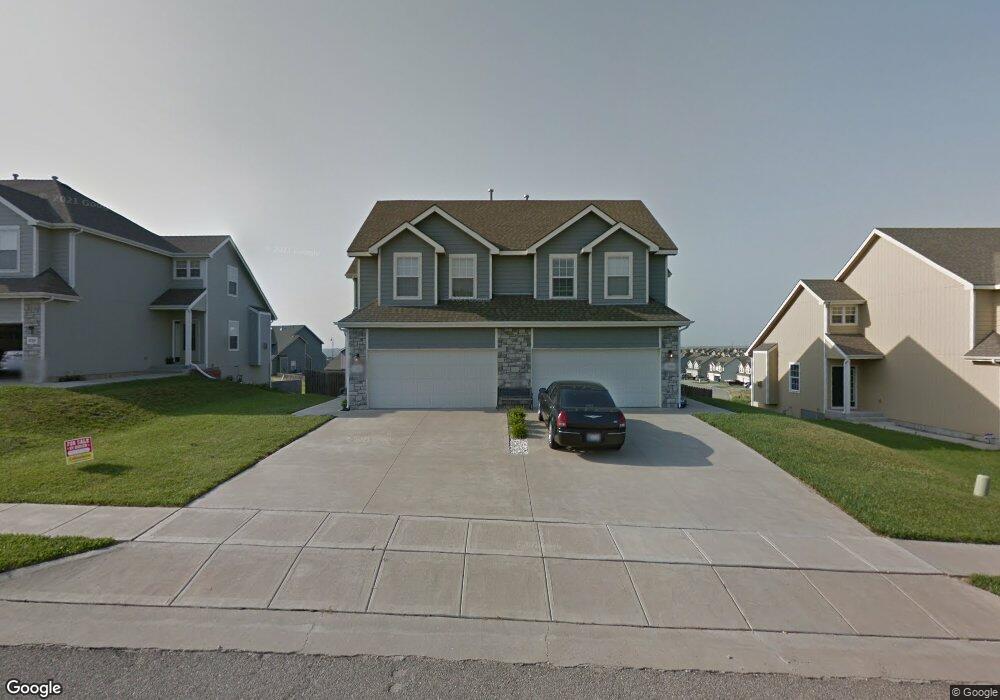
1718 Lydia Ln Junction City, KS 66441
Estimated Value: $146,000 - $204,131
4
Beds
4
Baths
1,441
Sq Ft
$129/Sq Ft
Est. Value
About This Home
This home is located at 1718 Lydia Ln, Junction City, KS 66441 and is currently estimated at $186,283, approximately $129 per square foot. 1718 Lydia Ln is a home located in Geary County with nearby schools including Eisenhower Elementary School, Junction City Middle School, and Junction City Senior High School.
Ownership History
Date
Name
Owned For
Owner Type
Purchase Details
Closed on
Dec 30, 2021
Sold by
Santos Mark D
Bought by
Guerrero Francis Leon and Guerrero Karen Leon
Current Estimated Value
Home Financials for this Owner
Home Financials are based on the most recent Mortgage that was taken out on this home.
Original Mortgage
$96,773
Outstanding Balance
$89,200
Interest Rate
3.12%
Mortgage Type
New Conventional
Estimated Equity
$97,083
Purchase Details
Closed on
Aug 23, 2013
Sold by
Black Jeffrey W and Black Lisa D
Bought by
Santos Mark D
Home Financials for this Owner
Home Financials are based on the most recent Mortgage that was taken out on this home.
Original Mortgage
$148,752
Interest Rate
4.61%
Mortgage Type
VA
Create a Home Valuation Report for This Property
The Home Valuation Report is an in-depth analysis detailing your home's value as well as a comparison with similar homes in the area
Home Values in the Area
Average Home Value in this Area
Purchase History
| Date | Buyer | Sale Price | Title Company |
|---|---|---|---|
| Guerrero Francis Leon | -- | Junction City Abstract Title | |
| Santos Mark D | -- | -- |
Source: Public Records
Mortgage History
| Date | Status | Borrower | Loan Amount |
|---|---|---|---|
| Open | Guerrero Francis Leon | $96,773 | |
| Previous Owner | Santos Mark D | $148,752 |
Source: Public Records
Tax History Compared to Growth
Tax History
| Year | Tax Paid | Tax Assessment Tax Assessment Total Assessment is a certain percentage of the fair market value that is determined by local assessors to be the total taxable value of land and additions on the property. | Land | Improvement |
|---|---|---|---|---|
| 2025 | $3,188 | $23,322 | $2,901 | $20,421 |
| 2024 | $3,829 | $21,690 | $2,668 | $19,022 |
| 2023 | $3,914 | $20,856 | $2,556 | $18,300 |
| 2022 | $0 | $19,654 | $2,322 | $17,332 |
| 2021 | $0 | $17,331 | $2,199 | $15,132 |
| 2020 | $3,584 | $16,894 | $2,144 | $14,750 |
| 2019 | $3,511 | $16,427 | $1,567 | $14,860 |
| 2018 | $3,446 | $16,106 | $1,457 | $14,649 |
| 2017 | $3,418 | $15,790 | $1,722 | $14,068 |
| 2016 | $3,600 | $16,733 | $980 | $15,753 |
| 2015 | $3,539 | $17,032 | $506 | $16,526 |
| 2014 | $3,510 | $17,584 | $1,058 | $16,526 |
Source: Public Records
Map
Nearby Homes
- 1703 Lydia Ln
- 2007 Quail Run
- 2003 Brooke Bend
- 2014 Deer Trail
- 0000 Rucker Rd
- 1807 W 17th St
- 1504 Thompson Dr
- 1834 Katie Rose Trail
- 2117 Thompson Dr
- 1906 Ehlers Ct
- 1840 Katie Rose Trail
- 2332 Buckshot Dr
- 1904 Davis Dr
- 0000 Us Highway 77
- 1309 Hale Dr
- 1927 Sutter Woods Rd
- 2437 Jaeger Dr
- 1409 W 14th St
- 2434 Jaeger Dr
- 1743 Sutter Woods Rd