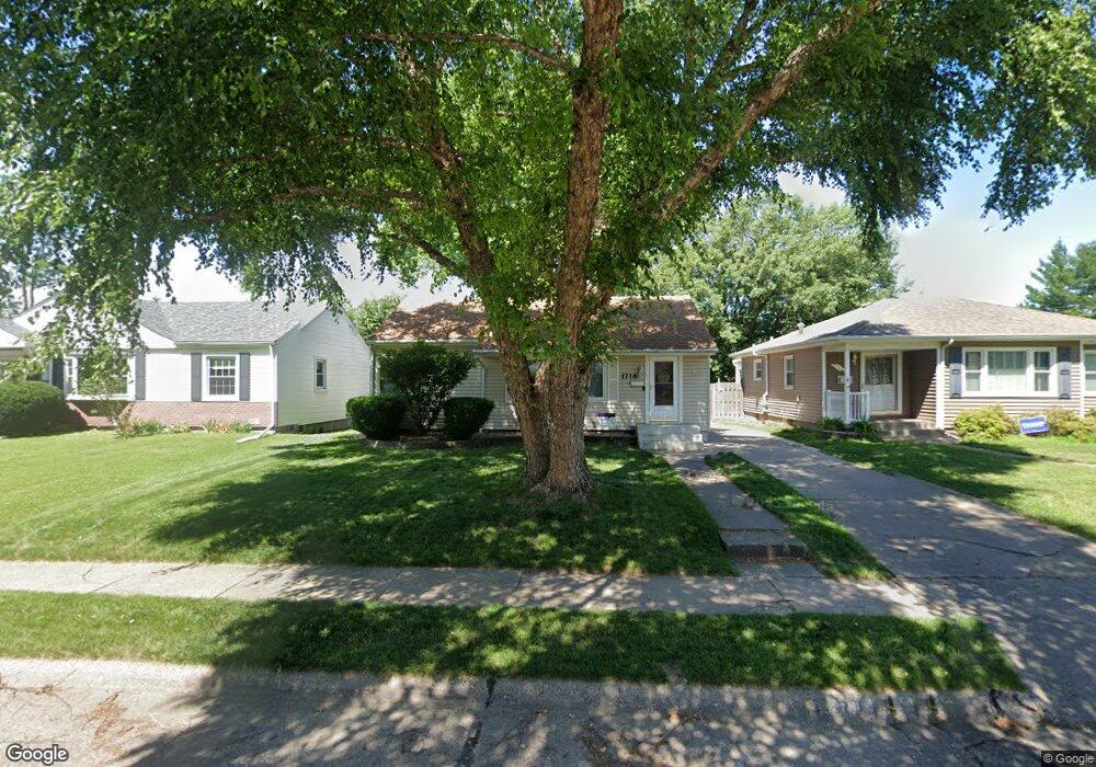
1718 N Pine St Davenport, IA 52804
Northwest Davenport NeighborhoodEstimated Value: $139,000 - $184,000
3
Beds
3
Baths
864
Sq Ft
$186/Sq Ft
Est. Value
About This Home
This home is located at 1718 N Pine St, Davenport, IA 52804 and is currently estimated at $160,733, approximately $186 per square foot. 1718 N Pine St is a home located in Scott County with nearby schools including Wilson Elementary School, Williams Intermediate School, and West High School.
Ownership History
Date
Name
Owned For
Owner Type
Purchase Details
Closed on
Oct 31, 2006
Sold by
Sager Michael D and Sager Deborah A
Bought by
Lindell Jacob R and Parkhurst Sherry A
Current Estimated Value
Home Financials for this Owner
Home Financials are based on the most recent Mortgage that was taken out on this home.
Original Mortgage
$111,700
Outstanding Balance
$66,284
Interest Rate
6.36%
Mortgage Type
New Conventional
Estimated Equity
$94,449
Create a Home Valuation Report for This Property
The Home Valuation Report is an in-depth analysis detailing your home's value as well as a comparison with similar homes in the area
Home Values in the Area
Average Home Value in this Area
Purchase History
| Date | Buyer | Sale Price | Title Company |
|---|---|---|---|
| Lindell Jacob R | $114,000 | None Available |
Source: Public Records
Mortgage History
| Date | Status | Borrower | Loan Amount |
|---|---|---|---|
| Open | Lindell Jacob R | $111,700 |
Source: Public Records
Tax History Compared to Growth
Tax History
| Year | Tax Paid | Tax Assessment Tax Assessment Total Assessment is a certain percentage of the fair market value that is determined by local assessors to be the total taxable value of land and additions on the property. | Land | Improvement |
|---|---|---|---|---|
| 2025 | $2,120 | $145,780 | $23,180 | $122,600 |
| 2024 | $2,066 | $128,870 | $23,180 | $105,690 |
| 2023 | $2,132 | $128,870 | $23,180 | $105,690 |
| 2022 | $2,140 | $108,730 | $20,600 | $88,130 |
| 2021 | $2,140 | $108,730 | $20,600 | $88,130 |
| 2020 | $1,984 | $102,970 | $20,600 | $82,370 |
| 2019 | $1,876 | $92,170 | $20,600 | $71,570 |
| 2018 | $1,832 | $92,170 | $20,600 | $71,570 |
| 2017 | $513 | $92,170 | $20,600 | $71,570 |
| 2016 | $1,828 | $92,170 | $0 | $0 |
| 2015 | $1,828 | $90,530 | $0 | $0 |
| 2014 | $1,818 | $90,530 | $0 | $0 |
| 2013 | $1,782 | $0 | $0 | $0 |
| 2012 | -- | $92,380 | $18,540 | $73,840 |
Source: Public Records
Map
Nearby Homes
- 2312 W Locust St
- 2417 W 18th St
- 1922 N Pine St
- 2156 W Pleasant St
- 1742 N Howell St
- 1203 N Thornwood Ave
- 1107 N Thornwood Ave
- 1723 W Locust St
- 2302 N Howell St
- 926 Cimarron Dr
- 1634 W 17th St
- 2314 N Birchwood Ave
- 1721 Madison St
- 1658 W Lombard St
- 1719 N Sturdevant St
- 1919 N Sturdevant St
- 2110 N Sturdevant St
- 2424 Davie St
- 2221 Madison St
- 2614 N Howell St