1718 Stone Bridge Ct NW Marietta, GA 30064
Estimated Value: $800,000 - $864,000
4
Beds
3
Baths
4,033
Sq Ft
$207/Sq Ft
Est. Value
About This Home
This home is located at 1718 Stone Bridge Ct NW, Marietta, GA 30064 and is currently estimated at $835,499, approximately $207 per square foot. 1718 Stone Bridge Ct NW is a home located in Cobb County with nearby schools including West Side Elementary School, Marietta Sixth Grade Academy, and Marietta Middle School.
Ownership History
Date
Name
Owned For
Owner Type
Purchase Details
Closed on
Dec 29, 2021
Sold by
Poulos Sharon K
Bought by
Woods James David and Woods Barbara S
Current Estimated Value
Purchase Details
Closed on
Apr 12, 2007
Sold by
Black David Hms Inc
Bought by
Poulos Shron K
Home Financials for this Owner
Home Financials are based on the most recent Mortgage that was taken out on this home.
Original Mortgage
$200,000
Interest Rate
6.15%
Mortgage Type
Trade
Create a Home Valuation Report for This Property
The Home Valuation Report is an in-depth analysis detailing your home's value as well as a comparison with similar homes in the area
Home Values in the Area
Average Home Value in this Area
Purchase History
| Date | Buyer | Sale Price | Title Company |
|---|---|---|---|
| Woods James David | $690,000 | None Listed On Document | |
| Poulos Shron K | $549,500 | -- |
Source: Public Records
Mortgage History
| Date | Status | Borrower | Loan Amount |
|---|---|---|---|
| Previous Owner | Poulos Shron K | $200,000 |
Source: Public Records
Tax History Compared to Growth
Tax History
| Year | Tax Paid | Tax Assessment Tax Assessment Total Assessment is a certain percentage of the fair market value that is determined by local assessors to be the total taxable value of land and additions on the property. | Land | Improvement |
|---|---|---|---|---|
| 2025 | $1,777 | $305,040 | $58,000 | $247,040 |
| 2024 | $1,777 | $343,980 | $58,000 | $285,980 |
| 2023 | $1,625 | $295,076 | $58,000 | $237,076 |
| 2022 | $1,777 | $274,420 | $40,000 | $234,420 |
| 2021 | $1,775 | $220,028 | $40,000 | $180,028 |
| 2020 | $1,776 | $223,404 | $40,000 | $183,404 |
| 2019 | $1,775 | $217,048 | $40,000 | $177,048 |
| 2018 | $1,698 | $207,564 | $40,000 | $167,564 |
| 2017 | $1,363 | $207,564 | $40,000 | $167,564 |
| 2016 | $1,364 | $207,564 | $40,000 | $167,564 |
| 2015 | $1,455 | $203,564 | $36,000 | $167,564 |
| 2014 | $1,231 | $168,296 | $0 | $0 |
Source: Public Records
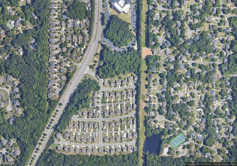
Map
Nearby Homes
- 1803 Stone Bridge Way
- 761 Hardage Farm Dr NW
- 1981 Village Round NW
- 764 Sharpshooters Ridge NW
- 606 Tabbystone St NW
- 741 Crossfire Ridge NW
- 608 Tabbystone St NW Unit 2
- 2358 New Salem Trace
- 510 Towneside Ln
- 1025 Ector Dr NW
- 2376 Tabbystone Ln NW
- 2120 Kensington Gates Dr NW Unit L120
- 2160 Kensington Gates Dr NW
- 2121 Kensington Gates Dr NW
- 1640 Kenai Rd
- 2429 Kirk Ln NW
- 302 Summer Garden Dr
- 1718 Stone Bridge Ct
- 1722 Stone Bridge Ct
- 1714 Stone Bridge Ct
- 1717 Stone Bridge Ct
- 1710 Stone Bridge Ct
- 1726 Stone Bridge Ct
- 1709 Stone Bridge Ct
- 1721 Stone Bridge Ct
- 1725 Stone Bridge Ct
- 1705 Stone Bridge Ct
- 1706 Stone Bridge Ct
- 1812 Stone Bridge Way
- 1808 Stone Bridge Way
- 0 Stone Bridge Way Unit 8691095
- 0 Stone Bridge Way Unit 8010835
- 0 Stone Bridge Way Unit 8659178
- 0 Stone Bridge Way Unit 8666607
- 0 Stone Bridge Way Unit 8971541
- 0 Stone Bridge Way Unit 9031516
- 0 Stone Bridge Way Unit 8746553