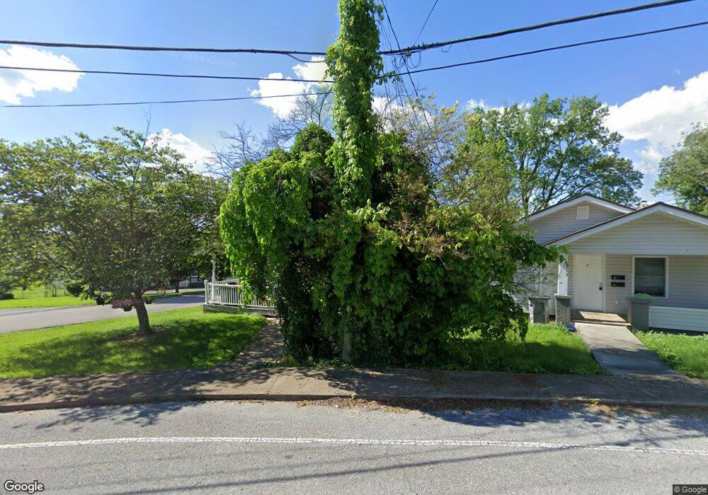
1719 Anderson St Bristol, TN 37620
Estimated Value: $160,000 - $223,000
2
Beds
1
Bath
1,268
Sq Ft
$143/Sq Ft
Est. Value
About This Home
This home is located at 1719 Anderson St, Bristol, TN 37620 and is currently estimated at $181,213, approximately $142 per square foot. 1719 Anderson St is a home located in Sullivan County with nearby schools including Anderson Elementary School, Vance Middle School, and Tennessee High School.
Ownership History
Date
Name
Owned For
Owner Type
Purchase Details
Closed on
Feb 27, 2001
Sold by
James Ryan
Bought by
Karen Carrier
Current Estimated Value
Purchase Details
Closed on
Sep 17, 1997
Sold by
Johnny Tallman
Bought by
Ryan James D
Purchase Details
Closed on
Mar 31, 1997
Sold by
Carty Harold E
Bought by
Johnny Tallman
Home Financials for this Owner
Home Financials are based on the most recent Mortgage that was taken out on this home.
Original Mortgage
$24,700
Interest Rate
7.69%
Create a Home Valuation Report for This Property
The Home Valuation Report is an in-depth analysis detailing your home's value as well as a comparison with similar homes in the area
Purchase History
| Date | Buyer | Sale Price | Title Company |
|---|---|---|---|
| Karen Carrier | $55,500 | -- | |
| Ryan James D | $36,000 | -- | |
| Johnny Tallman | $26,000 | -- |
Source: Public Records
Mortgage History
| Date | Status | Borrower | Loan Amount |
|---|---|---|---|
| Previous Owner | Johnny Tallman | $24,700 |
Source: Public Records
Tax History
| Year | Tax Paid | Tax Assessment Tax Assessment Total Assessment is a certain percentage of the fair market value that is determined by local assessors to be the total taxable value of land and additions on the property. | Land | Improvement |
|---|---|---|---|---|
| 2025 | -- | $45,025 | $2,875 | $42,150 |
| 2024 | -- | $22,275 | $1,650 | $20,625 |
| 2023 | $978 | $22,275 | $1,650 | $20,625 |
| 2022 | $978 | $22,275 | $1,650 | $20,625 |
| 2021 | $978 | $22,275 | $1,650 | $20,625 |
| 2020 | $1,015 | $22,275 | $1,650 | $20,625 |
| 2019 | $1,015 | $21,450 | $1,650 | $19,800 |
| 2018 | $1,011 | $21,450 | $1,650 | $19,800 |
| 2017 | $1,011 | $21,450 | $1,650 | $19,800 |
| 2016 | $905 | $18,750 | $1,625 | $17,125 |
| 2014 | $855 | $18,763 | $0 | $0 |
Source: Public Records
Map
Nearby Homes
- 1703 Windsor Ave
- 1608 Broad St
- 115 16th St
- 1412 Anderson St
- 1914 Windsor Ave
- 1401 Windsor Ave
- 2228 Bay St
- 1301 Windsor Ave
- Tbd Clifton Rd
- 29 24th St
- 2222 Windsor Ave
- 1505 Norway St
- 1208 Windsor Ave
- 2111 Lee Hwy
- 311 12th St
- 1216 Norway St
- 2440 Broad St
- 2152 Randolph St
- 2140 Randolph St
- 454 Douglas St
- 1717 Anderson St
- 1709 Anderson St
- 218 18th St
- 1801 Anderson St
- 1716 Anderson St
- 1808 Broad St
- 1705 Anderson St Unit 1707
- 1812 Broad St
- 1712 Anderson St
- 1701 Anderson St
- 1805 Anderson St
- 1814 Broad St
- 1718 Anderson St
- 1816 Broad St
- 404 17th St
- 1722 Anderson St
- 1820 Broad St
- 1807 Anderson St
- 402 17th St
- 1804 Anderson St
Your Personal Tour Guide
Ask me questions while you tour the home.