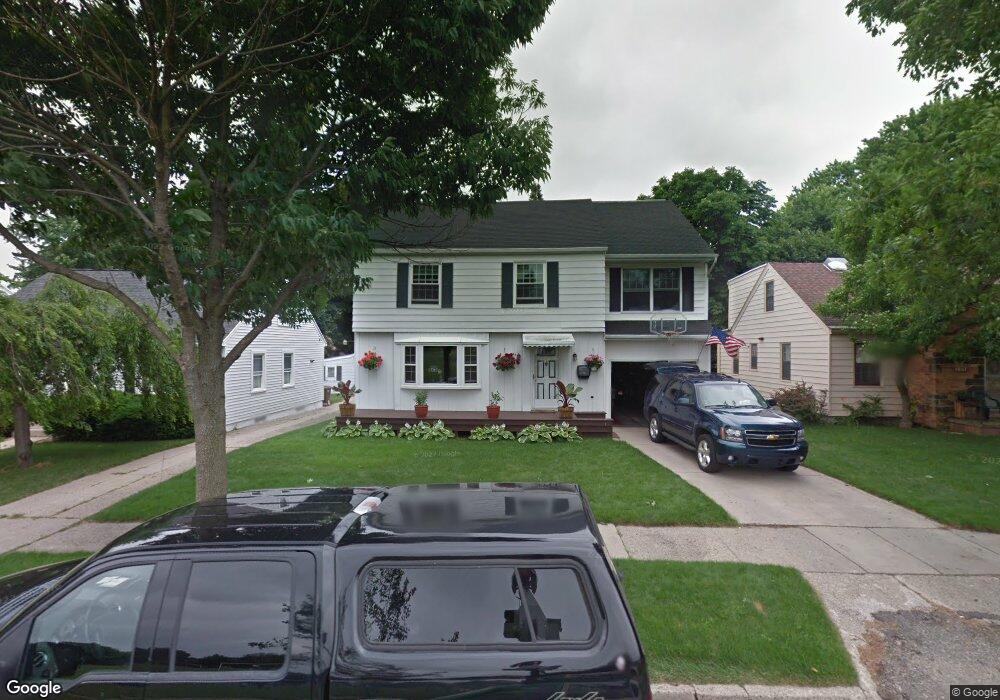
1719 Harding Ave Lansing, MI 48910
Clifford Park NeighborhoodEstimated Value: $220,000 - $261,000
Studio
1
Bath
2,039
Sq Ft
$120/Sq Ft
Est. Value
About This Home
This home is located at 1719 Harding Ave, Lansing, MI 48910 and is currently estimated at $244,255, approximately $119 per square foot. 1719 Harding Ave is a home located in Ingham County with nearby schools including Lyons Elementary School, Pattengill Academy, and Eastern High School.
Ownership History
Date
Name
Owned For
Owner Type
Purchase Details
Closed on
Dec 20, 2012
Sold by
Fales Mark M
Bought by
Deutsche Bank National Trust Co
Current Estimated Value
Purchase Details
Closed on
Dec 23, 2002
Sold by
Royston Ginger R and Fales Ginger R
Bought by
Fales Mark M
Home Financials for this Owner
Home Financials are based on the most recent Mortgage that was taken out on this home.
Original Mortgage
$150,300
Interest Rate
9.99%
Mortgage Type
Purchase Money Mortgage
Create a Home Valuation Report for This Property
The Home Valuation Report is an in-depth analysis detailing your home's value as well as a comparison with similar homes in the area
Home Values in the Area
Average Home Value in this Area
Purchase History
| Date | Buyer | Sale Price | Title Company |
|---|---|---|---|
| Deutsche Bank National Trust Co | $78,000 | None Available | |
| Fales Mark M | -- | Ohio Clear Title Agency Inc |
Source: Public Records
Mortgage History
| Date | Status | Borrower | Loan Amount |
|---|---|---|---|
| Previous Owner | Fales Mark M | $150,300 |
Source: Public Records
Tax History
| Year | Tax Paid | Tax Assessment Tax Assessment Total Assessment is a certain percentage of the fair market value that is determined by local assessors to be the total taxable value of land and additions on the property. | Land | Improvement |
|---|---|---|---|---|
| 2025 | $5,284 | $128,000 | $10,900 | $117,100 |
| 2024 | $43 | $120,800 | $10,900 | $109,900 |
| 2023 | $4,951 | $107,300 | $10,900 | $96,400 |
| 2022 | $4,456 | $96,800 | $8,800 | $88,000 |
| 2021 | $4,363 | $94,100 | $7,900 | $86,200 |
| 2020 | $4,337 | $89,000 | $7,900 | $81,100 |
| 2019 | $4,162 | $84,400 | $7,900 | $76,500 |
| 2018 | $3,895 | $70,200 | $7,900 | $62,300 |
| 2017 | $3,730 | $70,200 | $7,900 | $62,300 |
| 2016 | $4,735 | $68,800 | $7,900 | $60,900 |
| 2015 | $4,735 | $66,200 | $15,750 | $50,450 |
| 2014 | $4,735 | $64,500 | $20,750 | $43,750 |
Source: Public Records
Map
Nearby Homes
- 0 E Mount Hope Ave
- 1501 Shubel Ave
- 2215 Alpha St
- 2237 Sunnyside Ave
- 2201 S Pennsylvania Ave
- 2309 S Pennsylvania Ave
- 1731 Lyons Ave
- 1423 Pontiac St
- 1437 Ada St
- 2340 S Pennsylvania Ave
- 704 Mckim Ave
- 1601 Bailey St
- 616 Isbell St
- 1535 Linval St
- 1515 Linval St
- 2118 Roberts Ln
- 1134 S Holmes St
- 534 Isbell St
- 1204 Shepard St
- 506 Christiancy St
- 1715 Harding Ave
- 1801 Harding Ave
- 1711 Harding Ave
- 1807 Harding Ave
- 1716 Clifton Ave
- 1710 Clifton Ave
- 1800 Clifton Ave
- 1811 Harding Ave
- 1302 Pershing Dr
- 1700 Clifton Ave
- 1804 Clifton Ave
- 1808 Clifton Ave
- 1812 Clifton Ave
- 1819 Harding Ave
- 1309 E Mount Hope Ave
- 1315 Pershing Dr
- 1715 Clifton Ave
- 1801 Clifton Ave
- 1711 Clifton Ave
Your Personal Tour Guide
Ask me questions while you tour the home.