1719 Lori Ln Redding, CA 96002
Mistletoe NeighborhoodEstimated Value: $293,710 - $325,000
2
Beds
2
Baths
1,450
Sq Ft
$212/Sq Ft
Est. Value
About This Home
This home is located at 1719 Lori Ln, Redding, CA 96002 and is currently estimated at $307,428, approximately $212 per square foot. 1719 Lori Ln is a home located in Shasta County with nearby schools including Mistletoe Elementary School, Enterprise High School, and Montessori Children's House of Shady Oaks.
Ownership History
Date
Name
Owned For
Owner Type
Purchase Details
Closed on
Jul 27, 2006
Sold by
Henderson Corinne
Bought by
Borders Danielle M and Borders Revocable T Danielle M
Current Estimated Value
Purchase Details
Closed on
Jun 27, 2006
Sold by
Borders Danielle M
Bought by
Borders Danielle M and Henderson Corinne
Purchase Details
Closed on
Sep 13, 1988
Sold by
Va
Bought by
Borders James M and Borders Danielle M
Create a Home Valuation Report for This Property
The Home Valuation Report is an in-depth analysis detailing your home's value as well as a comparison with similar homes in the area
Home Values in the Area
Average Home Value in this Area
Purchase History
| Date | Buyer | Sale Price | Title Company |
|---|---|---|---|
| Borders Danielle M | -- | None Available | |
| Borders Danielle M | -- | None Available | |
| Borders Danielle M | -- | Chicago Title Co | |
| Borders James M | -- | Chicago Title Co |
Source: Public Records
Tax History
| Year | Tax Paid | Tax Assessment Tax Assessment Total Assessment is a certain percentage of the fair market value that is determined by local assessors to be the total taxable value of land and additions on the property. | Land | Improvement |
|---|---|---|---|---|
| 2025 | $657 | $64,524 | $12,159 | $52,365 |
| 2024 | $645 | $63,260 | $11,921 | $51,339 |
| 2023 | $645 | $62,021 | $11,688 | $50,333 |
| 2022 | $625 | $60,806 | $11,459 | $49,347 |
| 2021 | $603 | $59,615 | $11,235 | $48,380 |
| 2020 | $599 | $59,004 | $11,120 | $47,884 |
| 2019 | $592 | $57,848 | $10,902 | $46,946 |
| 2018 | $584 | $56,715 | $10,689 | $46,026 |
| 2017 | $591 | $55,604 | $10,480 | $45,124 |
| 2016 | $553 | $54,515 | $10,275 | $44,240 |
| 2015 | $547 | $53,697 | $10,121 | $43,576 |
| 2014 | $541 | $52,646 | $9,923 | $42,723 |
Source: Public Records
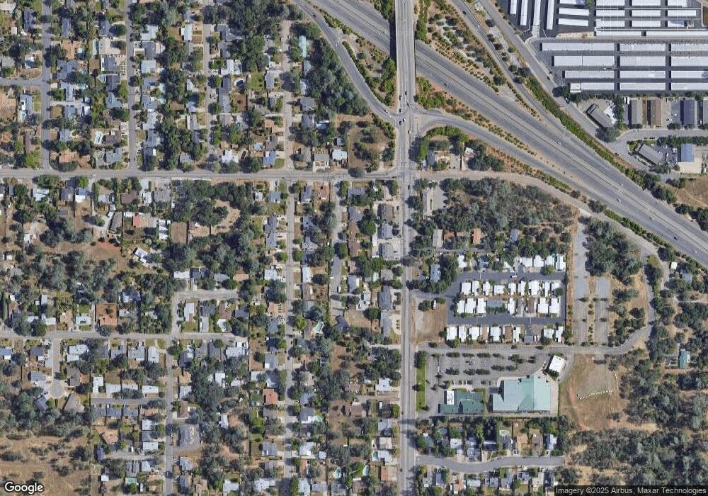
Map
Nearby Homes
- 2093 Victor Ave
- 1939 Cameo Ct
- 1701 E Cypress Ave
- 1556 Minor St
- 1877 Wheeler St
- 2385 Shining Star Way
- 2295 Chelsa Cir
- 2820 Alfreda Way
- 2906 Regal Ave
- 1110 Grouse Dr
- 2115 Hawn Ave
- 1285 Lancers Ln
- 2571 Erin Ln
- 3072 Alta Mesa Dr
- 1088 Burton Dr
- 0 Churn Creek Rd Unit 25-496
- 0 Churn Creek Rd Unit 26-609
- 0 Churn Creek Rd Unit 25-5491
- 1637 French Lace Ln
- 918 Parsons Dr
- 1717 Lori Ln
- 1721 Lori Ln
- 1723 Lori Ln
- 2072 Victor Ave
- 1715 Lori Ln
- 2057 Deerfield Ave
- 2071 Deerfield Ave
- 2056 Victor Ave
- 2043 Deerfield Ave
- 2096 Victor Ave
- 2085 Deerfield Ave
- 2040 Victor Ave
- 1695 Mistletoe Ln
- 2109 Lori Ln
- 1723 Mistletoe Ln
- 2101 Deerfield Ave
- 2106 Victor Ave
- 1689 Mistletoe Ln
- 2010 Victor Ave
- 2117 Deerfield Ave
Your Personal Tour Guide
Ask me questions while you tour the home.