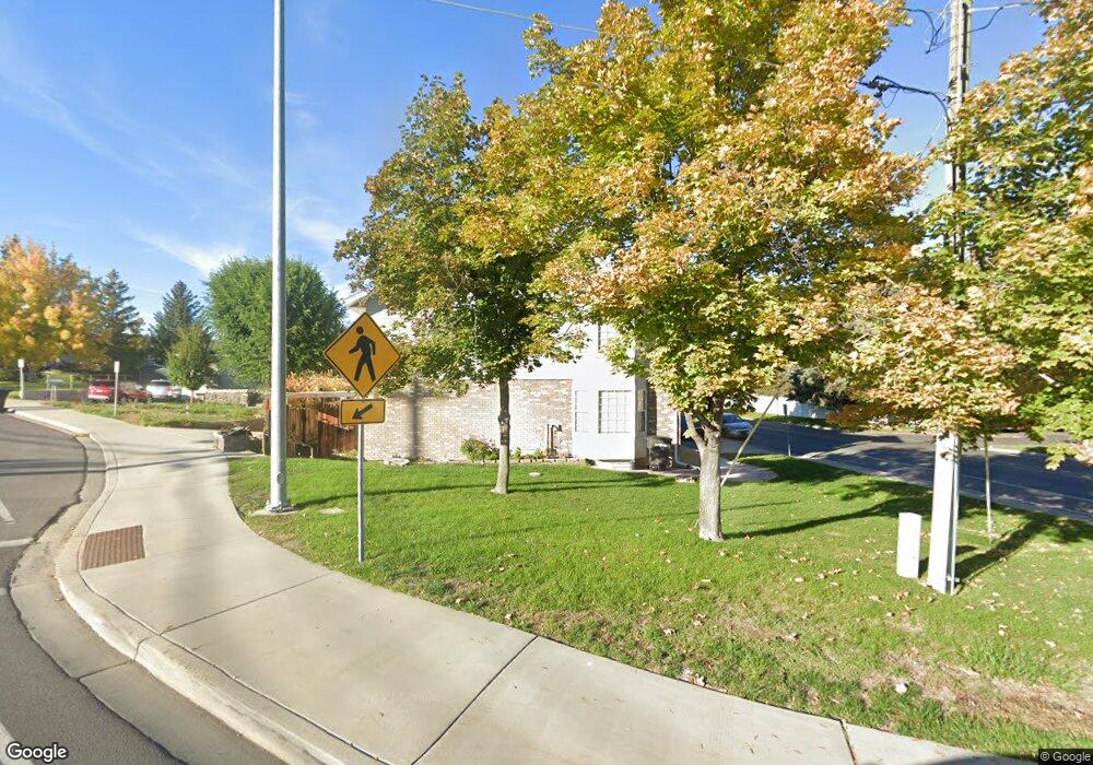
1719 N 950 W Unit 1 Provo, UT 84604
Grandview North NeighborhoodEstimated Value: $413,000 - $440,409
4
Beds
3
Baths
2,200
Sq Ft
$193/Sq Ft
Est. Value
About This Home
This home is located at 1719 N 950 W Unit 1, Provo, UT 84604 and is currently estimated at $424,102, approximately $192 per square foot. 1719 N 950 W Unit 1 is a home located in Utah County with nearby schools including Westridge Elementary School, Dixon Middle School, and Provo High School.
Ownership History
Date
Name
Owned For
Owner Type
Purchase Details
Closed on
Feb 1, 2007
Sold by
Dixson Utah Properties Llc
Bought by
Barton Brant B and Barton Shanna
Current Estimated Value
Purchase Details
Closed on
Aug 30, 2006
Sold by
Dixson Commercial Properties Mgmt Llc
Bought by
Barton Brant B and Barton Shanna
Home Financials for this Owner
Home Financials are based on the most recent Mortgage that was taken out on this home.
Original Mortgage
$164,350
Interest Rate
6.76%
Mortgage Type
Purchase Money Mortgage
Create a Home Valuation Report for This Property
The Home Valuation Report is an in-depth analysis detailing your home's value as well as a comparison with similar homes in the area
Home Values in the Area
Average Home Value in this Area
Purchase History
| Date | Buyer | Sale Price | Title Company |
|---|---|---|---|
| Barton Brant B | -- | First American Title Amer | |
| Barton Brant B | -- | First American Title Agency |
Source: Public Records
Mortgage History
| Date | Status | Borrower | Loan Amount |
|---|---|---|---|
| Previous Owner | Barton Brant B | $164,350 |
Source: Public Records
Tax History Compared to Growth
Tax History
| Year | Tax Paid | Tax Assessment Tax Assessment Total Assessment is a certain percentage of the fair market value that is determined by local assessors to be the total taxable value of land and additions on the property. | Land | Improvement |
|---|---|---|---|---|
| 2025 | $3,984 | $400,700 | $58,900 | $341,800 |
| 2024 | $3,984 | $392,200 | $0 | $0 |
| 2023 | $3,788 | $367,600 | $0 | $0 |
| 2022 | $3,211 | $314,200 | $31,400 | $282,800 |
| 2021 | $2,700 | $253,400 | $30,400 | $223,000 |
| 2020 | $2,663 | $234,300 | $28,100 | $206,200 |
| 2019 | $1,275 | $212,100 | $24,000 | $188,100 |
| 2018 | $1,164 | $196,400 | $24,000 | $172,400 |
| 2017 | $1,099 | $101,915 | $0 | $0 |
| 2016 | $1,092 | $94,380 | $0 | $0 |
| 2015 | $1,039 | $90,750 | $0 | $0 |
| 2014 | $846 | $77,000 | $0 | $0 |
Source: Public Records
Map
Nearby Homes
- 1763 Willowbrook Dr Unit 4D1
- 1685 Hickory Ln
- 1633 Woodland Dr
- 920 W Columbia Ln
- 1661 Willowbrook Dr
- 1009 W 2000 N
- 1430 N 1160 W
- 1525 N 1250 W
- 1188 W 1380 N
- 1250 Jordan Ave
- 1375 W 1460 N
- 493 E 2000 S
- 1927 Columbia Ln
- 1559 N Riverside Ave Unit 4
- 1254 N 800 W
- 1471 W 1460 N
- 819 W 2300 N
- 1516 W 1970 N
- 814 E 1740 S
- 1149 N 850 W
- 1719 N 950 W
- 1721 N 950 W Unit 2
- 1723 N 950 W
- 1040 Columbia Ln
- 1040 Columbia Ln Unit 1740
- 1725 N 950 W
- 1727 N 950 W
- 1729 N 950 W Unit 6
- 1055 W Columbia Ln
- 1055 Columbia Ln
- 936 W 1700 N
- 1730 Willowbrook Dr
- 1722 Willowbrook Dr
- 1722 Willowbrook Dr Unit 5
- 1726 Willowbrook Dr
- 1723 Willowbrook Dr
- 1723 Willowbrook Dr Unit BLDG 5
- 1731 Willowbrook Dr
- 1727 Willowbrook Dr
- 1731 Willowbrook Dr Unit 5-B3