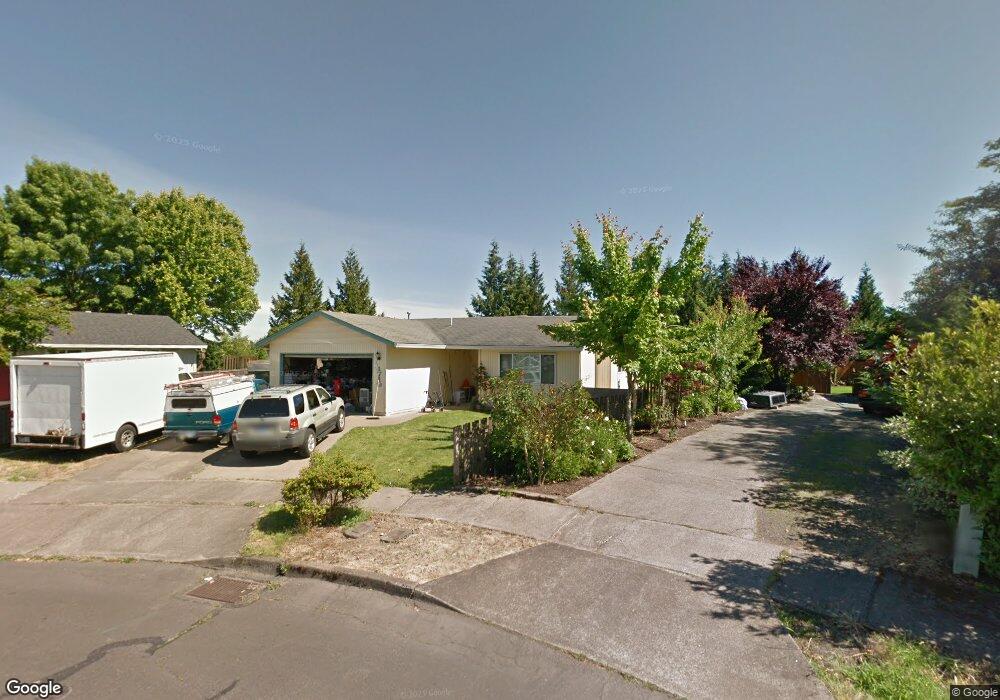
1719 Sequoia Ct Forest Grove, OR 97116
Estimated Value: $442,000 - $472,000
3
Beds
2
Baths
1,211
Sq Ft
$380/Sq Ft
Est. Value
About This Home
This home is located at 1719 Sequoia Ct, Forest Grove, OR 97116 and is currently estimated at $460,655, approximately $380 per square foot. 1719 Sequoia Ct is a home located in Washington County with nearby schools including Fern Hill Elementary School, Neil Armstrong Middle School, and Tom McCall Upper Elementary School.
Ownership History
Date
Name
Owned For
Owner Type
Purchase Details
Closed on
Dec 17, 2015
Sold by
Austin Deborah A
Bought by
Flanagan James L and Flanagan Celeste E
Current Estimated Value
Home Financials for this Owner
Home Financials are based on the most recent Mortgage that was taken out on this home.
Original Mortgage
$214,692
Outstanding Balance
$168,860
Interest Rate
3.87%
Mortgage Type
FHA
Estimated Equity
$291,795
Purchase Details
Closed on
Jun 26, 1998
Sold by
Va
Bought by
Moore Rickie and Moore Cindie
Home Financials for this Owner
Home Financials are based on the most recent Mortgage that was taken out on this home.
Original Mortgage
$80,000
Interest Rate
7.17%
Purchase Details
Closed on
Jun 25, 1998
Sold by
Moore Rickie C and Moore Cindie
Bought by
Austin Deborah A
Home Financials for this Owner
Home Financials are based on the most recent Mortgage that was taken out on this home.
Original Mortgage
$80,000
Interest Rate
7.17%
Create a Home Valuation Report for This Property
The Home Valuation Report is an in-depth analysis detailing your home's value as well as a comparison with similar homes in the area
Home Values in the Area
Average Home Value in this Area
Purchase History
| Date | Buyer | Sale Price | Title Company |
|---|---|---|---|
| Flanagan James L | $231,000 | Fidelity Natl Title Co Of Or | |
| Moore Rickie | $55,000 | Fidelity National Title | |
| Austin Deborah A | $129,950 | Fidelity National Title |
Source: Public Records
Mortgage History
| Date | Status | Borrower | Loan Amount |
|---|---|---|---|
| Open | Flanagan James L | $214,692 | |
| Previous Owner | Austin Deborah A | $80,000 |
Source: Public Records
Tax History Compared to Growth
Tax History
| Year | Tax Paid | Tax Assessment Tax Assessment Total Assessment is a certain percentage of the fair market value that is determined by local assessors to be the total taxable value of land and additions on the property. | Land | Improvement |
|---|---|---|---|---|
| 2026 | $3,490 | $195,970 | -- | -- |
| 2025 | $3,490 | $190,270 | -- | -- |
| 2024 | $3,367 | $184,730 | -- | -- |
| 2023 | $3,367 | $179,350 | $0 | $0 |
| 2022 | $2,944 | $179,350 | $0 | $0 |
| 2021 | $2,906 | $169,060 | $0 | $0 |
| 2020 | $2,890 | $164,140 | $0 | $0 |
| 2019 | $2,826 | $159,360 | $0 | $0 |
| 2018 | $2,739 | $154,720 | $0 | $0 |
| 2017 | $2,654 | $150,220 | $0 | $0 |
| 2016 | $2,580 | $145,850 | $0 | $0 |
| 2015 | $2,481 | $141,610 | $0 | $0 |
| 2014 | $2,469 | $137,490 | $0 | $0 |
Source: Public Records
Map
Nearby Homes
- 1835 Tamarack Ct
- 1832 Vine Ct
- 3404 19th Ave Unit 103
- 3404 19th Ave Unit 215
- 3831 Pacific Ave Unit D5
- 3831 Pacific Ave Unit D2
- 3839 Pacific Ave Unit 102
- 1504 Frontier Cir
- 3213 Maple Place
- 1402 Pioneer Way
- 0 22nd Ave Unit 11
- 3128 Brittany Dr
- 1509 Centennial Cir
- 4303 Settlers Loop
- 4403 Wagon Wheel Cir
- 332 S Tarrybrook Dr
- 2902 19th Ave
- 2824 19th Ave
- 2369 NW Martin Rd
- 2303 NW Martin Rd
- 1721 Sequoia Ct
- 1718 Sequoia Ct
- 1720 Sequoia Ct
- 1800 Tamarack Way
- 1802 Tamarack Way
- 1711 Redwood Ct
- 1717 Redwood Ct
- 1770 Tamarack Way
- 1806 Tamarack Way
- 1721 Redwood Ct
- 1709 Redwood Ct
- 1750 Tamarack Way
- 1801 Tamarack Way
- 1775 Tamarack Way
- 1810 Tamarack Way
- 1809 Tamarack Way
- 1705 Redwood Ct
- 1755 Tamarack Way
- 1803 Sequoia Ct N
- 1803 Sequoia Ct