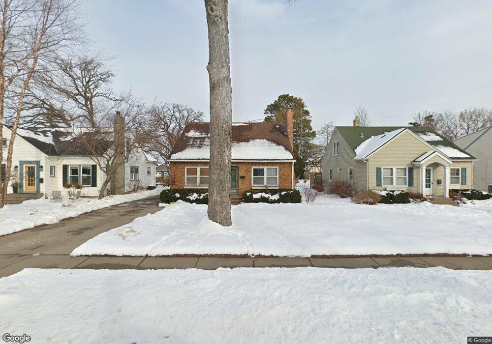
1719 W 4th St Red Wing, MN 55066
Estimated Value: $410,000 - $512,029
2
Beds
3
Baths
2,758
Sq Ft
$174/Sq Ft
Est. Value
About This Home
This home is located at 1719 W 4th St, Red Wing, MN 55066 and is currently estimated at $480,507, approximately $174 per square foot. 1719 W 4th St is a home located in Goodhue County with nearby schools including Sunnyside Elementary School, Burnside Elementary School, and Twin Bluff Middle School.
Ownership History
Date
Name
Owned For
Owner Type
Purchase Details
Closed on
Jan 31, 2025
Sold by
Frank E Ferrin Family Trust and Ferrin Frank E
Bought by
Ferrin Anne P
Current Estimated Value
Purchase Details
Closed on
Feb 23, 2022
Sold by
Ferrin Frank E
Bought by
Frank E Ferrin Family Trust
Purchase Details
Closed on
Jun 24, 1999
Sold by
Cahlander Danielle Rae
Bought by
Ferrin Frank E
Create a Home Valuation Report for This Property
The Home Valuation Report is an in-depth analysis detailing your home's value as well as a comparison with similar homes in the area
Home Values in the Area
Average Home Value in this Area
Purchase History
| Date | Buyer | Sale Price | Title Company |
|---|---|---|---|
| Ferrin Anne P | $100,000 | None Listed On Document | |
| Frank E Ferrin Family Trust | -- | None Listed On Document | |
| Ferrin Frank E | $500 | None Listed On Document | |
| Ferrin Frank E | $230,000 | -- |
Source: Public Records
Tax History
| Year | Tax Paid | Tax Assessment Tax Assessment Total Assessment is a certain percentage of the fair market value that is determined by local assessors to be the total taxable value of land and additions on the property. | Land | Improvement |
|---|---|---|---|---|
| 2025 | $6,676 | $502,000 | $100,300 | $401,700 |
| 2024 | -- | $494,200 | $100,300 | $393,900 |
| 2023 | $6,242 | $465,500 | $100,200 | $365,300 |
| 2022 | $5,900 | $460,300 | $97,800 | $362,500 |
| 2021 | $5,510 | $395,600 | $97,800 | $297,800 |
| 2020 | $5,488 | $375,800 | $97,800 | $278,000 |
| 2019 | $5,496 | $351,000 | $97,800 | $253,200 |
| 2018 | $4,528 | $355,300 | $97,800 | $257,500 |
| 2017 | $4,254 | $314,200 | $97,800 | $216,400 |
| 2016 | $3,932 | $300,200 | $97,800 | $202,400 |
| 2015 | $3,722 | $291,700 | $97,800 | $193,900 |
| 2014 | -- | $280,900 | $97,800 | $183,100 |
Source: Public Records
Map
Nearby Homes
- 1715 W 5th St
- 1738 W 6th St
- 1528 W 6th St
- 717 Blaine St
- 430 Harrison St
- 1227 W 4th St
- 1130 W 4th St
- 1004 College Ave
- 815 W 4th St
- 1050 Sturtevant St
- 1330 Hillside Dr
- 1348 Hillside Dr
- 617 W 3rd St
- 1108 Hawthorne St
- 1684 Siewert St
- 1020 Hawthorne St
- 222 Bush St Unit 402
- 222 Bush St Unit 302
- 222 Bush St Unit 404
- 222 Bush St Unit 303
Your Personal Tour Guide
Ask me questions while you tour the home.