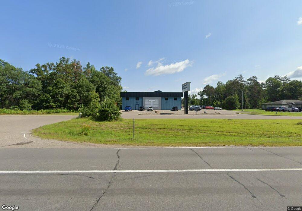
17192 State Highway 371 Brainerd, MN 56401
Studio
--
Bath
42,668
Sq Ft
113,561
Sq Ft Lot
About This Home
This home is located at 17192 State Highway 371, Brainerd, MN 56401. 17192 State Highway 371 is a home located in Crow Wing County with nearby schools including Nisswa Elementary School, Forestview Middle School, and Brainerd Senior High School.
Ownership History
Date
Name
Owned For
Owner Type
Purchase Details
Closed on
Aug 28, 2025
Sold by
Crow Wing Cooperative Power And Light Co
Bought by
Highway 371 Investments Llc
Home Financials for this Owner
Home Financials are based on the most recent Mortgage that was taken out on this home.
Original Mortgage
$2,000,000
Outstanding Balance
$1,608,701
Interest Rate
6.58%
Mortgage Type
Construction
Create a Home Valuation Report for This Property
The Home Valuation Report is an in-depth analysis detailing your home's value as well as a comparison with similar homes in the area
Home Values in the Area
Average Home Value in this Area
Purchase History
| Date | Buyer | Sale Price | Title Company |
|---|---|---|---|
| Highway 371 Investments Llc | $715,000 | All American Title Company |
Source: Public Records
Mortgage History
| Date | Status | Borrower | Loan Amount |
|---|---|---|---|
| Open | Highway 371 Investments Llc | $2,000,000 |
Source: Public Records
Tax History
| Year | Tax Paid | Tax Assessment Tax Assessment Total Assessment is a certain percentage of the fair market value that is determined by local assessors to be the total taxable value of land and additions on the property. | Land | Improvement |
|---|---|---|---|---|
| 2025 | $46,446 | $2,617,300 | $210,500 | $2,406,800 |
| 2024 | $42,012 | $2,812,400 | $196,300 | $2,616,100 |
| 2023 | $37,426 | $2,571,500 | $204,300 | $2,367,200 |
| 2022 | $35,132 | $2,104,300 | $194,300 | $1,910,000 |
| 2021 | $33,784 | $1,603,100 | $170,200 | $1,432,900 |
| 2020 | $28,114 | $1,492,600 | $172,400 | $1,320,200 |
| 2019 | $13,010 | $1,219,700 | $148,300 | $1,071,400 |
| 2018 | $10,616 | $584,700 | $148,300 | $436,400 |
| 2017 | $12,718 | $509,000 | $148,300 | $360,700 |
| 2016 | $13,014 | $556,500 | $175,500 | $381,000 |
| 2015 | $13,882 | $573,300 | $175,500 | $397,800 |
| 2014 | $8,040 | $661,800 | $139,800 | $522,000 |
Source: Public Records
Map
Nearby Homes
- 17113 Johnson Rd
- 16912 Piper Ln
- 16906 Piper Ln
- 6701 Gould Gray Rd
- 7101 Browns Ln
- 18302 Johnson Rd
- L2,B2 Sanctuary Ln
- L10,B2 Sanctuary Ln
- 16550 Sanctuary Ln
- Lot 29 Sanctuary Dr
- TBD Sanctuary Path
- Lot 23 Sanctuary Path
- Lot 26 Sanctuary Path
- 3828 Sanctuary Way
- 4280 Brady Blvd
- 4469 Brady Blvd
- 4252 Brady Blvd
- 4537 Brady Blvd
- 4482 Brady Blvd
- 4457 Brady Blvd
- 17140 State Highway 371
- 17201 State Highway 371
- 17201 State Highway 371
- 17125 State Highway 371
- 17301 State Highway 371
- 0 Hwy 371 Barbeau Rd Unit 4733801
- 5864 Barbeau Rd
- 5832 Barbeau Rd
- 5782 Barbeau Rd
- 17119 Commercial Park Rd
- 17117 Commercial Park Rd
- 17002 State Highway 371
- 17002 State Highway 371
- 17002 State Highway 371
- 17002 State Highway 371
- 5750 Barbeau Rd
- 17060 Commercial Park Rd
- 17046 Commercial Park Rd
- 5797 Barbeau Rd
- 17558 State Highway 371
Your Personal Tour Guide
Ask me questions while you tour the home.