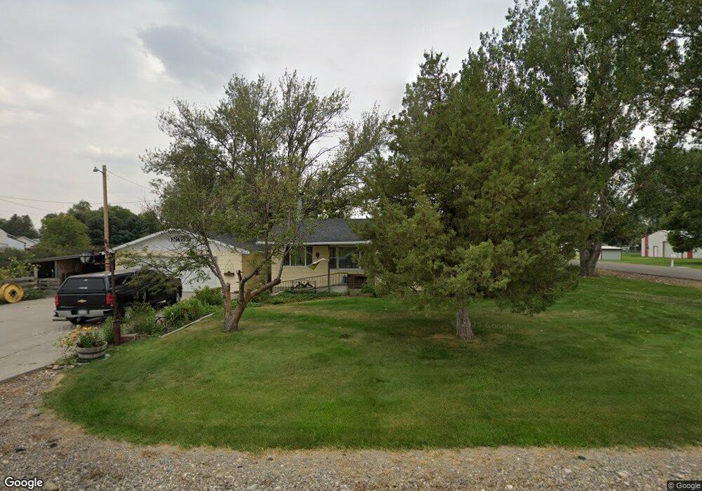
172 3rd St N Huntley, MT 59037
Huntley NeighborhoodEstimated Value: $328,000 - $400,000
3
Beds
2
Baths
1,627
Sq Ft
$224/Sq Ft
Est. Value
About This Home
This home is located at 172 3rd St N, Huntley, MT 59037 and is currently estimated at $364,185, approximately $223 per square foot. 172 3rd St N is a home located in Yellowstone County with nearby schools including Huntley Project Elementary School, Huntley Project Junior High School, and Huntley Project High School.
Ownership History
Date
Name
Owned For
Owner Type
Purchase Details
Closed on
Mar 7, 2011
Sold by
Gonzalez G James and Gonzalez Sandra K
Bought by
Gonzalez G James and Gonzalez Sandra K
Current Estimated Value
Home Financials for this Owner
Home Financials are based on the most recent Mortgage that was taken out on this home.
Original Mortgage
$150,400
Interest Rate
4.75%
Mortgage Type
New Conventional
Create a Home Valuation Report for This Property
The Home Valuation Report is an in-depth analysis detailing your home's value as well as a comparison with similar homes in the area
Home Values in the Area
Average Home Value in this Area
Purchase History
| Date | Buyer | Sale Price | Title Company |
|---|---|---|---|
| Gonzalez G James | -- | St |
Source: Public Records
Mortgage History
| Date | Status | Borrower | Loan Amount |
|---|---|---|---|
| Closed | Gonzalez G James | $150,400 |
Source: Public Records
Tax History
| Year | Tax Paid | Tax Assessment Tax Assessment Total Assessment is a certain percentage of the fair market value that is determined by local assessors to be the total taxable value of land and additions on the property. | Land | Improvement |
|---|---|---|---|---|
| 2025 | $1,452 | $265,300 | $41,254 | $224,046 |
| 2024 | $1,452 | $242,300 | $41,813 | $200,487 |
| 2023 | $1,770 | $242,300 | $41,813 | $200,487 |
| 2022 | $1,448 | $191,200 | $0 | $0 |
| 2021 | $1,524 | $191,200 | $0 | $0 |
| 2020 | $1,495 | $184,900 | $0 | $0 |
| 2019 | $1,456 | $184,900 | $0 | $0 |
| 2018 | $1,507 | $179,800 | $0 | $0 |
| 2017 | $1,482 | $179,800 | $0 | $0 |
| 2016 | $1,266 | $168,800 | $0 | $0 |
| 2015 | $1,364 | $168,800 | $0 | $0 |
| 2014 | $1,152 | $74,995 | $0 | $0 |
Source: Public Records
Map
Nearby Homes
- 0000 Florian Ave
- 1266 Chipper Ln
- 1251 Chipper Ln
- 0 SHepherd Road lot Shepherd Rd
- 0 Shepherd Road Lot Shepherd Rd
- 1246 Chipper Ln
- 1191 Chipper Ln
- 5430 Cerkoney Ln
- 6808 Earl Ave
- 6447 US Highway 312
- 7133 Mustang Rd
- 581 Squaw Creek Rd
- 6732 Pinto Dr
- 7340 Wild Game Trail
- 5652 Bengston Rd
- 6835 Eagle Bend Blvd
- 8020 Wade St
- 7290 Whitetail Run
- 8700 Fox Run
- 5718 Creekview Dr