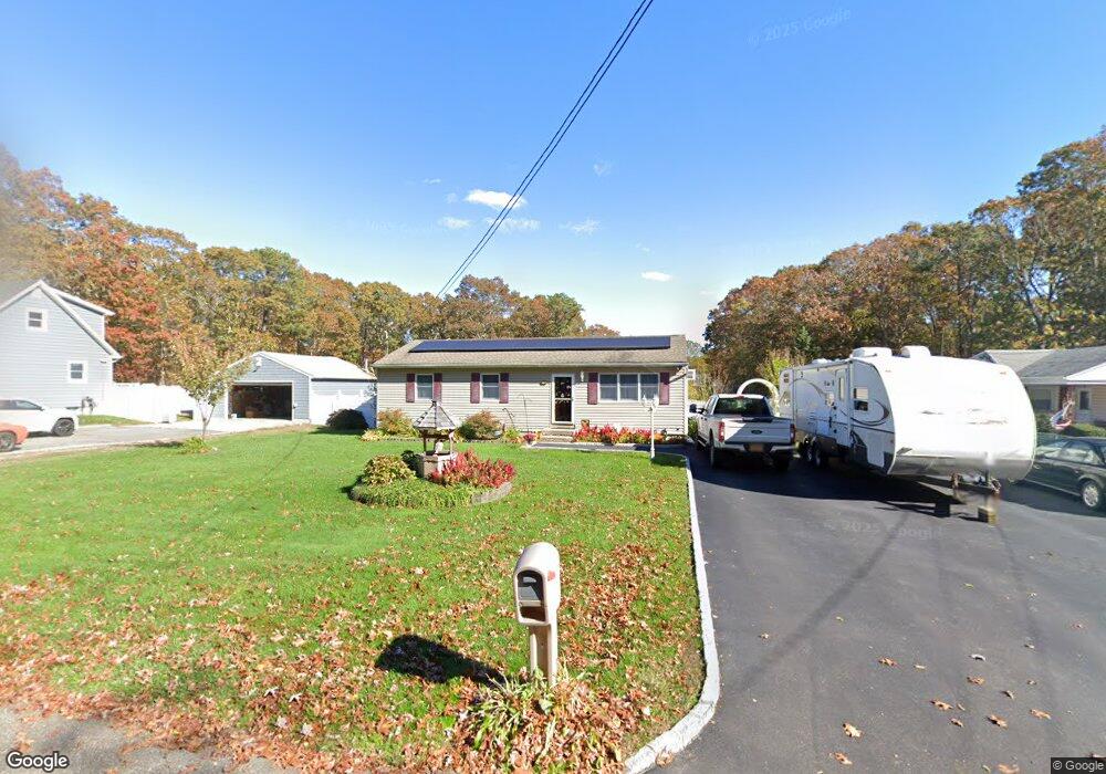
172 Auborn Ave Shirley, NY 11967
Estimated Value: $478,000 - $534,233
3
Beds
1
Bath
1,064
Sq Ft
$476/Sq Ft
Est. Value
About This Home
This home is located at 172 Auborn Ave, Shirley, NY 11967 and is currently estimated at $506,058, approximately $475 per square foot. 172 Auborn Ave is a home located in Suffolk County with nearby schools including William Floyd Elementary School, William Floyd Middle School, and William Floyd High School.
Ownership History
Date
Name
Owned For
Owner Type
Purchase Details
Closed on
Jul 29, 1999
Sold by
Czak Anthony and Czak Rosemarie
Bought by
Martino Joseph W and Martino Margaret A
Current Estimated Value
Home Financials for this Owner
Home Financials are based on the most recent Mortgage that was taken out on this home.
Original Mortgage
$96,200
Outstanding Balance
$27,407
Interest Rate
7.54%
Mortgage Type
FHA
Estimated Equity
$478,651
Purchase Details
Closed on
Dec 4, 1997
Sold by
Oneill Michael and Oneill Coleen
Bought by
Czak Anthony and Czak Rosemarie
Create a Home Valuation Report for This Property
The Home Valuation Report is an in-depth analysis detailing your home's value as well as a comparison with similar homes in the area
Home Values in the Area
Average Home Value in this Area
Purchase History
| Date | Buyer | Sale Price | Title Company |
|---|---|---|---|
| Martino Joseph W | $96,500 | Fidelity National Title | |
| Czak Anthony | $88,000 | Fidelity National Title Ins |
Source: Public Records
Mortgage History
| Date | Status | Borrower | Loan Amount |
|---|---|---|---|
| Open | Martino Joseph W | $96,200 |
Source: Public Records
Tax History Compared to Growth
Tax History
| Year | Tax Paid | Tax Assessment Tax Assessment Total Assessment is a certain percentage of the fair market value that is determined by local assessors to be the total taxable value of land and additions on the property. | Land | Improvement |
|---|---|---|---|---|
| 2024 | $7,511 | $2,000 | $200 | $1,800 |
| 2023 | $7,511 | $2,000 | $200 | $1,800 |
| 2022 | $7,927 | $2,000 | $200 | $1,800 |
| 2021 | $7,927 | $2,000 | $200 | $1,800 |
| 2020 | $8,118 | $2,000 | $200 | $1,800 |
| 2019 | $8,118 | $0 | $0 | $0 |
| 2018 | $7,787 | $2,000 | $200 | $1,800 |
| 2017 | $7,787 | $2,000 | $200 | $1,800 |
| 2016 | $7,880 | $2,200 | $200 | $2,000 |
| 2015 | -- | $2,200 | $200 | $2,000 |
| 2014 | -- | $2,000 | $200 | $1,800 |
Source: Public Records
Map
Nearby Homes
- 153 Auborn Ave
- 88 W End Ave
- 139 Forrest Ave
- 112 Revilo Ave Unit 10
- 135 Forrest Ave
- 124 River Rd
- 120 River Rd
- 99 Forrest Ave
- 173 W End Ave
- 188 W End Ave
- 125 Grand Ave
- 42 Revilo Ave
- 1276 William Floyd Pkwy
- 84 Ridgewood Dr
- 88 Ridgewood Dr
- 45 Oak Ave
- 0 Pinelawn Ave
- 313 Decatur Ave
- 80 Grand Ave
- 336 Auborn Ave
- 176 Auborn Ave
- 170 Auborn Ave
- 168 Auborn Ave
- 166 Auborn Ave
- 180 Auborn Ave
- 164 Auborn Ave
- 175 Auborn Ave
- 169 Auborn Ave
- 184 Auborn Ave
- 167 Auborn Ave
- 177 Auborn Ave
- 162 Auborn Ave Unit 9
- 165 Auborn Ave
- 163 Auborn Ave
- 181 Auborn Ave
- 171 Revilo Ave
- 160 Auborn Ave
- 161 Auborn Ave
- 187 Auborn Ave
- 165 Revilo Ave