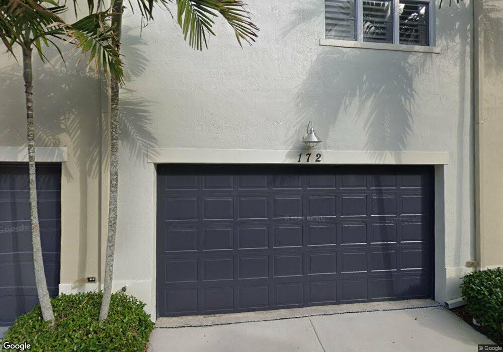
172 Cat Rock Ln Jupiter, FL 33458
Abacoa NeighborhoodEstimated Value: $444,000 - $580,000
2
Beds
2
Baths
1,760
Sq Ft
$277/Sq Ft
Est. Value
About This Home
This home is located at 172 Cat Rock Ln, Jupiter, FL 33458 and is currently estimated at $487,719, approximately $277 per square foot. 172 Cat Rock Ln is a home located in Palm Beach County with nearby schools including Lighthouse Elementary School, William T. Dwyer High School, and Beacon Cove Intermediate School.
Ownership History
Date
Name
Owned For
Owner Type
Purchase Details
Closed on
Dec 9, 2020
Sold by
Nolan Carol J
Bought by
Nolan Carol J and Desmarais Colleen Nolan
Current Estimated Value
Purchase Details
Closed on
Sep 15, 2006
Sold by
New Urban Workplace Llc
Bought by
Nolan Carol J
Home Financials for this Owner
Home Financials are based on the most recent Mortgage that was taken out on this home.
Original Mortgage
$203,250
Interest Rate
6.37%
Mortgage Type
Purchase Money Mortgage
Create a Home Valuation Report for This Property
The Home Valuation Report is an in-depth analysis detailing your home's value as well as a comparison with similar homes in the area
Home Values in the Area
Average Home Value in this Area
Purchase History
| Date | Buyer | Sale Price | Title Company |
|---|---|---|---|
| Nolan Carol J | -- | Accommodation | |
| Nolan Carol J | $254,123 | South Ocean Title Inc |
Source: Public Records
Mortgage History
| Date | Status | Borrower | Loan Amount |
|---|---|---|---|
| Previous Owner | Nolan Carol J | $203,250 |
Source: Public Records
Tax History Compared to Growth
Tax History
| Year | Tax Paid | Tax Assessment Tax Assessment Total Assessment is a certain percentage of the fair market value that is determined by local assessors to be the total taxable value of land and additions on the property. | Land | Improvement |
|---|---|---|---|---|
| 2024 | $3,319 | $176,627 | -- | -- |
| 2023 | $3,227 | $171,483 | $0 | $0 |
| 2022 | $3,176 | $166,488 | $0 | $0 |
| 2021 | $3,084 | $161,639 | $0 | $0 |
| 2020 | $3,045 | $159,407 | $0 | $0 |
| 2019 | $3,012 | $155,823 | $0 | $0 |
| 2018 | $2,868 | $152,918 | $0 | $0 |
| 2017 | $2,860 | $149,773 | $0 | $0 |
| 2016 | $2,838 | $146,692 | $0 | $0 |
| 2015 | $2,889 | $145,672 | $0 | $0 |
| 2014 | $2,973 | $144,516 | $0 | $0 |
Source: Public Records
Map
Nearby Homes
- 103 Cat Rock Ln
- 425 Greenwich Cir Unit 208
- 248 Honeysuckle Dr
- 221 Greenwich Cir Unit 209
- 170 Greenwich Cir
- 117 Poinciana Dr
- 138 Poinciana Dr
- 277 New Haven Blvd
- 215 Poinciana Dr
- 192 Poinciana Dr
- 297 Marlberry Cir
- 131 Rockingham Rd
- 247 Sweet Bay Cir
- 266 Iris Dr
- 1134 Vintner Blvd
- 130 Morning Dew Cir
- 119 Osceola Ln
- 120 Powell Ln
- 148 Morning Dew Cir
- 888 University Blvd
- 168 Cat Rock Ln
- 176 Cat Rock Ln
- 158 Cat Rock Ln
- 162 Cat Rock Ln
- 154 Cat Rock Ln
- 150 Cat Rock Ln
- 146 Cat Rock Ln
- 142 Cat Rock Ln
- 425 Greenwich Cir
- 425 Greenwich Cir Unit 106
- 425 Greenwich Cir Unit 207
- 425 Greenwich Cir Unit 206
- 425 Greenwich Cir Unit 205
- 425 Greenwich Cir Unit 204
- 425 Greenwich Cir Unit 203
- 425 Greenwich Cir Unit 202
- 425 Greenwich Cir Unit 200
- 425 Greenwich Cir Unit 201
- 128 Cat Rock Ln
- 138 Cat Rock Ln