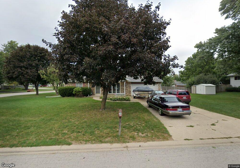
172 Dolores St Oswego, IL 60543
Northwest Oswego NeighborhoodEstimated Value: $305,000 - $327,000
3
Beds
2
Baths
1,458
Sq Ft
$216/Sq Ft
Est. Value
About This Home
This home is located at 172 Dolores St, Oswego, IL 60543 and is currently estimated at $315,265, approximately $216 per square foot. 172 Dolores St is a home located in Kendall County with nearby schools including Fox Chase Elementary School, Traughber Junior High School, and Oswego High School.
Ownership History
Date
Name
Owned For
Owner Type
Purchase Details
Closed on
Nov 1, 1994
Bought by
Augustine Eugene J
Current Estimated Value
Purchase Details
Closed on
Dec 1, 1992
Bought by
Greyer William A
Purchase Details
Closed on
Jan 1, 1988
Purchase Details
Closed on
Sep 1, 1984
Create a Home Valuation Report for This Property
The Home Valuation Report is an in-depth analysis detailing your home's value as well as a comparison with similar homes in the area
Home Values in the Area
Average Home Value in this Area
Purchase History
| Date | Buyer | Sale Price | Title Company |
|---|---|---|---|
| Augustine Eugene J | $112,200 | -- | |
| Greyer William A | $106,000 | -- | |
| -- | $75,000 | -- | |
| -- | $58,500 | -- |
Source: Public Records
Mortgage History
| Date | Status | Borrower | Loan Amount |
|---|---|---|---|
| Closed | Greyer William A | -- |
Source: Public Records
Tax History
| Year | Tax Paid | Tax Assessment Tax Assessment Total Assessment is a certain percentage of the fair market value that is determined by local assessors to be the total taxable value of land and additions on the property. | Land | Improvement |
|---|---|---|---|---|
| 2024 | $6,681 | $90,402 | $18,767 | $71,635 |
| 2023 | $6,228 | $81,443 | $16,907 | $64,536 |
| 2022 | $6,228 | $76,115 | $15,801 | $60,314 |
| 2021 | $5,936 | $70,477 | $14,631 | $55,846 |
| 2020 | $5,804 | $68,424 | $14,205 | $54,219 |
| 2019 | $5,897 | $68,424 | $14,205 | $54,219 |
| 2018 | $4,964 | $58,228 | $12,088 | $46,140 |
| 2017 | $4,788 | $53,420 | $11,090 | $42,330 |
| 2016 | $4,700 | $51,864 | $10,767 | $41,097 |
| 2015 | $4,334 | $46,307 | $9,613 | $36,694 |
| 2014 | -- | $44,958 | $9,333 | $35,625 |
| 2013 | -- | $48,341 | $10,035 | $38,306 |
Source: Public Records
Map
Nearby Homes
- 134 Dolores St
- 1900 Light Rd Unit 210
- 303 Owen Ct
- 2400 Light Rd Unit 207
- 2400 Light Rd Unit 105
- 703 Ferret Crossing Unit 6
- 1415 State Route 31
- 115 Harbor Dr
- 7.43 Acres Vacant La State Route 31
- 6 E Anchor Dr
- 5.43 B-3 Commercial State Route 31
- 316 Ash Grove Ln
- 130 Fox Chase Dr S
- 116 River Mist Dr
- 133 River Mist Dr Unit 3
- 135 River Mist Dr Unit 2
- 2110 State Route 31
- 220 Presidential Blvd
- 125 Presidential Blvd Unit 3248
- 106 River Run Ct
- 103 Mary St
- 170 Dolores St
- 105 Mary St
- 171 Dolores St
- 169 Dolores St
- 168 Dolores St
- 107 Mary St
- 167 Century Dr Unit 2
- 104 Mary St
- 175 Dolores St
- 106 Mary St Unit 2
- 109 Mary St
- 177 Dolores St
- 622 Manhattan Cir
- 620 Manhattan Cir Unit 2
- 115 Kristine St Unit 2
- 103 Saint George Ln Unit 2
- 165 Dolores St Unit 2
- 624 Manhattan Cir
Your Personal Tour Guide
Ask me questions while you tour the home.