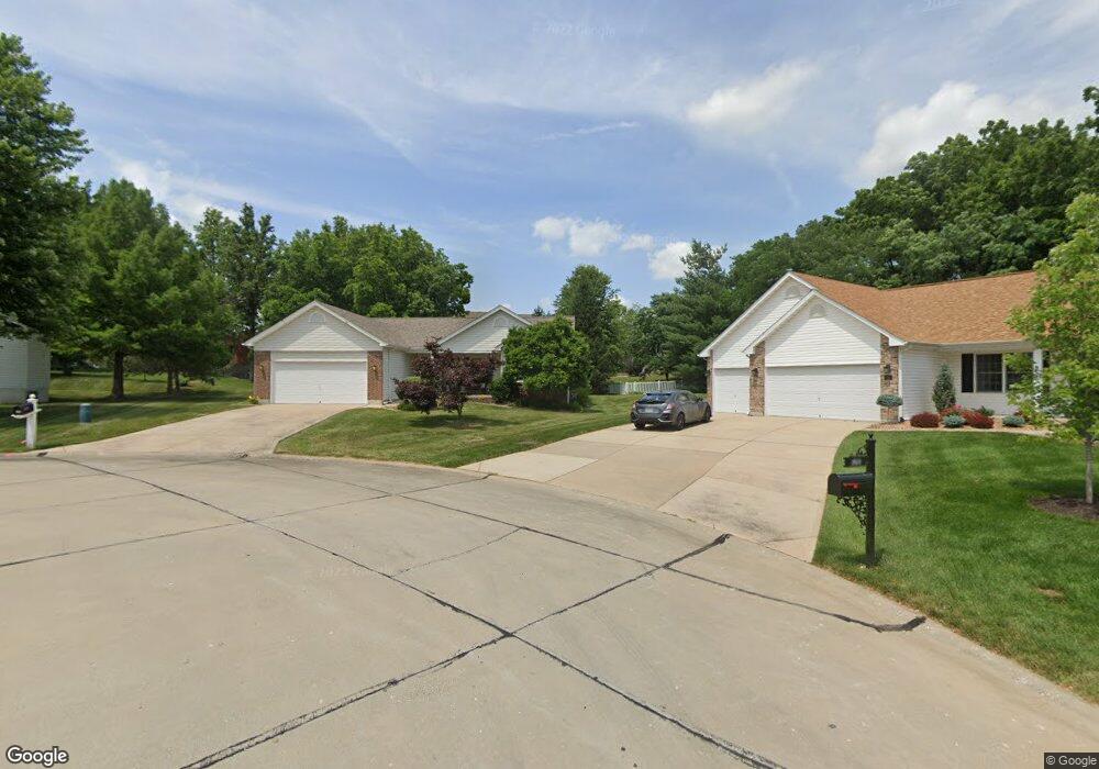
172 Jacobs Way Saint Peters, MO 63376
Estimated Value: $409,485 - $461,000
3
Beds
2
Baths
1,774
Sq Ft
$246/Sq Ft
Est. Value
About This Home
This home is located at 172 Jacobs Way, Saint Peters, MO 63376 and is currently estimated at $436,121, approximately $245 per square foot. 172 Jacobs Way is a home located in St. Charles County with nearby schools including Emge Elementary School, Fort Zumwalt South Middle School, and Fort Zumwalt South High School.
Ownership History
Date
Name
Owned For
Owner Type
Purchase Details
Closed on
Nov 28, 2005
Sold by
Anderson Kathleen A Wallberg
Bought by
Flinn Sharon
Current Estimated Value
Purchase Details
Closed on
Jun 28, 2002
Sold by
Ackmann Homes Inc
Bought by
Wallberg Kathleen A
Home Financials for this Owner
Home Financials are based on the most recent Mortgage that was taken out on this home.
Original Mortgage
$126,400
Interest Rate
6.76%
Purchase Details
Closed on
Jan 31, 2002
Sold by
Kaplan Leonard
Bought by
Ackmann Homes Inc
Create a Home Valuation Report for This Property
The Home Valuation Report is an in-depth analysis detailing your home's value as well as a comparison with similar homes in the area
Home Values in the Area
Average Home Value in this Area
Purchase History
| Date | Buyer | Sale Price | Title Company |
|---|---|---|---|
| Flinn Sharon | $225,000 | None Available | |
| Wallberg Kathleen A | -- | -- | |
| Ackmann Homes Inc | -- | -- |
Source: Public Records
Mortgage History
| Date | Status | Borrower | Loan Amount |
|---|---|---|---|
| Previous Owner | Wallberg Kathleen A | $126,400 |
Source: Public Records
Tax History Compared to Growth
Tax History
| Year | Tax Paid | Tax Assessment Tax Assessment Total Assessment is a certain percentage of the fair market value that is determined by local assessors to be the total taxable value of land and additions on the property. | Land | Improvement |
|---|---|---|---|---|
| 2025 | $4,216 | $69,206 | -- | -- |
| 2024 | $4,216 | $63,781 | -- | -- |
| 2023 | $4,218 | $63,781 | $0 | $0 |
| 2022 | $3,662 | $51,482 | $0 | $0 |
| 2021 | $3,665 | $51,482 | $0 | $0 |
| 2020 | $3,603 | $49,036 | $0 | $0 |
| 2019 | $3,612 | $49,036 | $0 | $0 |
| 2018 | $3,544 | $45,938 | $0 | $0 |
| 2017 | $3,501 | $45,938 | $0 | $0 |
| 2016 | $3,053 | $39,886 | $0 | $0 |
| 2015 | $2,838 | $39,886 | $0 | $0 |
| 2014 | $2,873 | $39,705 | $0 | $0 |
Source: Public Records
Map
Nearby Homes
- 212 Jacobs Way
- 225 Jacobs Way
- 421 Jacobs Place Dr
- 1 Pauley Cir
- 661 Clifton Hill Dr
- 60 Loganberry Ct
- 7 Park City Ct
- 32 Gulf Shores Dr
- 691 Logan Valley Dr
- 307 Santa Fe Trail Dr
- 211 Butternut Stage Dr
- 146 Huntington Crossing Dr
- 367 Shamrock St
- 361 Shamrock St
- 31 Lace Bark Ct
- 1228 Cold Spring Dr
- 5 Arborgate Dr Unit 69A
- 113 Stage Coach Landing Dr
- 1218 Cold Spring Dr
- 5 Wood Oaks Dr
- 168 Jacobs Way
- 176 Jacobs Way
- 422 Ancestry Dr
- 420 Ancestry Dr
- 164 Jacobs Way
- 424 Ancestry Dr
- 180 Jacobs Way
- 418 Ancestry Dr
- 175 Jacobs Way
- 160 Jacobs Way
- 184 Jacobs Way
- 428 Ancestry Dr
- 181 Jacobs Way
- 416 Ancestry Dr
- 161 Jacobs Way
- 185 Jacobs Way
- 188 Jacobs Way
- 156 Jacobs Way
- 414 Ancestry Dr
- 430 Ancestry Dr