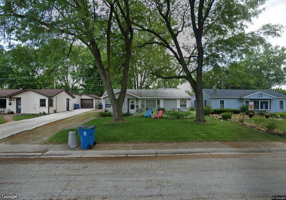
172 N Levasseur Ave Bourbonnais, IL 60914
Estimated Value: $135,599 - $166,000
Studio
--
Bath
--
Sq Ft
5,837
Sq Ft Lot
About This Home
This home is located at 172 N Levasseur Ave, Bourbonnais, IL 60914 and is currently estimated at $152,900. 172 N Levasseur Ave is a home located in Kankakee County with nearby schools including Shabbona Elementary School, Liberty Intermediate School, and Bourbonnais Upper Grade Center.
Ownership History
Date
Name
Owned For
Owner Type
Purchase Details
Closed on
Aug 9, 2005
Sold by
Komrska Roger R Trust
Bought by
Pierce Anthony J and Pierce Meribeth
Current Estimated Value
Home Financials for this Owner
Home Financials are based on the most recent Mortgage that was taken out on this home.
Original Mortgage
$83,000
Outstanding Balance
$43,601
Interest Rate
5.66%
Mortgage Type
New Conventional
Estimated Equity
$109,299
Create a Home Valuation Report for This Property
The Home Valuation Report is an in-depth analysis detailing your home's value as well as a comparison with similar homes in the area
Home Values in the Area
Average Home Value in this Area
Purchase History
| Date | Buyer | Sale Price | Title Company |
|---|---|---|---|
| Pierce Anthony J | $85,000 | Homestar Title |
Source: Public Records
Mortgage History
| Date | Status | Borrower | Loan Amount |
|---|---|---|---|
| Open | Pierce Anthony J | $83,000 |
Source: Public Records
Tax History
| Year | Tax Paid | Tax Assessment Tax Assessment Total Assessment is a certain percentage of the fair market value that is determined by local assessors to be the total taxable value of land and additions on the property. | Land | Improvement |
|---|---|---|---|---|
| 2024 | $3,306 | $39,776 | $6,562 | $33,214 |
| 2023 | $3,041 | $36,830 | $6,076 | $30,754 |
| 2022 | $2,721 | $31,608 | $5,856 | $25,752 |
| 2021 | $2,594 | $29,943 | $5,727 | $24,216 |
| 2020 | $2,416 | $27,344 | $5,574 | $21,770 |
| 2019 | $2,334 | $26,134 | $5,412 | $20,722 |
| 2018 | $2,181 | $24,349 | $5,332 | $19,017 |
| 2017 | $2,143 | $23,755 | $5,202 | $18,553 |
| 2016 | $1,926 | $21,397 | $5,125 | $16,272 |
| 2015 | $1,931 | $21,185 | $5,074 | $16,111 |
| 2014 | $2,493 | $28,466 | $5,074 | $23,392 |
| 2013 | -- | $27,146 | $5,074 | $22,072 |
Source: Public Records
Map
Nearby Homes
- 179 N Levasseur Ave
- 250 N Levasseur Ave
- 292 Ashley Ave
- 417 E Beaudoin St
- 260 W Country Ct
- 899 Armour Rd
- 440 S Cryer Ave
- 261 Mohawk Dr
- 675 Washington Ave
- 609 Ivy Ln
- 132 N Tetrault Ave
- 508 N Forest Ave
- 901 W North St
- 703 Heritage Dr
- 206 Meadows Rd S
- 0 Broadway St E Unit MRD12509049
- 411 N Prairie Ave
- 15 Hanson Dr
- Lot 5/5A Almar Pkwy
- 1063 Yale Ave
- 186 N Levasseur Ave
- 160 N Levasseur Ave
- 198 N Levasseur Ave
- 144 N Levasseur Ave
- 582 E Beaudoin St
- 165 N Levasseur Ave
- 702 Burns Ct
- 720 Burns Ct
- 208 N Levasseur Ave
- 151 N Levasseur Ave
- 201 Ashley Ave
- 126 N Levasseur Ave
- 583 E Beaudoin St
- 218 N Levasseur Ave
- 135 N Levasseur Ave
- 188 Belle Aire Ave
- 726 Burns Ct
- 176 Belle Aire Ave
- 112 N Levasseur Ave
- 213 Ashley Ave
Your Personal Tour Guide
Ask me questions while you tour the home.