Estimated Value: $1,074,821
3
Beds
1
Bath
2,000
Sq Ft
$537/Sq Ft
Est. Value
About This Home
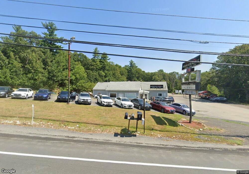
This home is located at 172 Rockingham Rd, Derry, NH 03038 and is currently estimated at $1,074,821, approximately $537 per square foot. 172 Rockingham Rd is a home located in Rockingham County with nearby schools including Grinnell School, West Running Brook Middle School, and Pinkerton Academy.
Ownership History
Date
Name
Owned For
Owner Type
Purchase Details
Closed on
Jun 13, 2001
Sold by
Pk & Jm Rt
Bought by
Anvi Rlty Llc
Current Estimated Value
Home Financials for this Owner
Home Financials are based on the most recent Mortgage that was taken out on this home.
Original Mortgage
$207,500
Interest Rate
7.15%
Mortgage Type
Commercial
Purchase Details
Closed on
May 9, 1997
Sold by
R & D Ptnrshp
Bought by
Pk & Jm Rt
Home Financials for this Owner
Home Financials are based on the most recent Mortgage that was taken out on this home.
Original Mortgage
$256,500
Interest Rate
7.88%
Mortgage Type
Commercial
Create a Home Valuation Report for This Property
The Home Valuation Report is an in-depth analysis detailing your home's value as well as a comparison with similar homes in the area
Home Values in the Area
Average Home Value in this Area
Purchase History
| Date | Buyer | Sale Price | Title Company |
|---|---|---|---|
| Anvi Rlty Llc | $345,000 | -- | |
| Pk & Jm Rt | $280,000 | -- |
Source: Public Records
Mortgage History
| Date | Status | Borrower | Loan Amount |
|---|---|---|---|
| Open | Pk & Jm Rt | $351,820 | |
| Closed | Pk & Jm Rt | $207,500 | |
| Previous Owner | Pk & Jm Rt | $256,500 |
Source: Public Records
Tax History
| Year | Tax Paid | Tax Assessment Tax Assessment Total Assessment is a certain percentage of the fair market value that is determined by local assessors to be the total taxable value of land and additions on the property. | Land | Improvement |
|---|---|---|---|---|
| 2025 | $12,664 | $666,900 | $254,900 | $412,000 |
| 2024 | $12,464 | $666,900 | $254,900 | $412,000 |
| 2023 | $11,757 | $568,500 | $172,300 | $396,200 |
| 2022 | $10,824 | $568,500 | $172,300 | $396,200 |
| 2021 | $12,434 | $502,200 | $172,300 | $329,900 |
| 2020 | $2,474 | $502,200 | $172,300 | $329,900 |
| 2019 | $14,614 | $559,500 | $341,100 | $218,400 |
| 2018 | $14,564 | $559,500 | $341,100 | $218,400 |
| 2017 | $6,492 | $361,100 | $175,100 | $186,000 |
| 2016 | $8,643 | $319,400 | $175,100 | $144,300 |
| 2015 | $9,251 | $316,500 | $174,100 | $142,400 |
| 2014 | $9,311 | $316,500 | $174,100 | $142,400 |
| 2013 | $10,077 | $320,000 | $174,100 | $145,900 |
Source: Public Records
Map
Nearby Homes
- 6 Homestead Dr
- 13 Kilrea Rd Unit L
- 21 Berry Rd
- 52 Windham Depot Rd
- 4 Westview Dr
- 43 Lampton Dr
- 51 Bedard Ave
- 139 Rockingham Rd Unit 21
- 16 Towne Dr
- 242 Rockingham Rd
- 5 Stone Fence Dr
- 17 Tyler Rd
- 144 Rockingham Rd
- 2 Brown Rd
- 8 Blueberry Rd Unit U: R
- 89 Lane Rd
- 12R Brian Ave Unit R
- 13 Sunnyside Ln Unit L
- 7 Lilac Ridge Rd
- 4 Norman Dr Unit L
- 172 Rockingham Rd Unit left side
- 172 Rockingham Rd Unit C161
- 191 Rockingham Rd
- 16 Blunt Dr
- 193 Rockingham Rd
- 195 Rockingham Rd
- 195 Rockingham Rd Unit 1
- 195 Rockingham Rd Unit 1 rear
- 15 Blunt Dr
- 187 Rockingham Rd
- 13 Blunt Dr
- 13 Blunt Dr Unit A
- 14 Blunt Dr
- 182 Rockingham Rd Unit B
- 32 Stark Rd
- 199 Rockingham Rd
- 12 Blunt Dr
- 30 Stark Rd
- 11 Blunt Dr
- 4 Skylark Dr
Your Personal Tour Guide
Ask me questions while you tour the home.