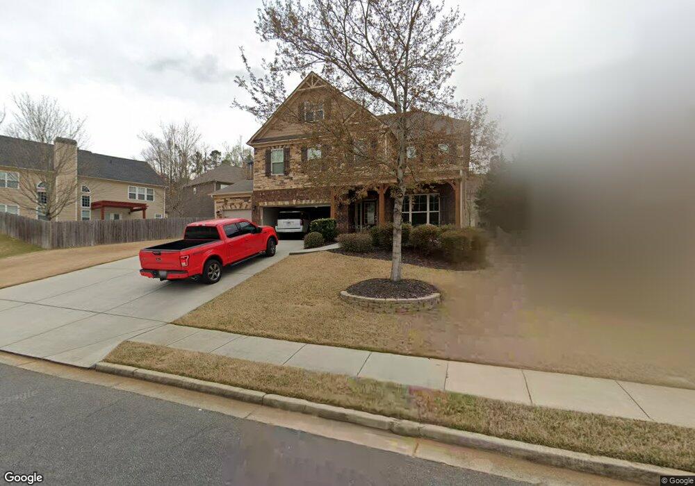
172 Shaw Dr Acworth, GA 30102
Oak Grove NeighborhoodEstimated Value: $584,169 - $683,000
4
Beds
4
Baths
3,894
Sq Ft
$163/Sq Ft
Est. Value
About This Home
This home is located at 172 Shaw Dr, Acworth, GA 30102 and is currently estimated at $633,585, approximately $162 per square foot. 172 Shaw Dr is a home located in Cherokee County with nearby schools including Clark Creek Elementary School, E. T. Booth Middle School, and Etowah High School.
Ownership History
Date
Name
Owned For
Owner Type
Purchase Details
Closed on
Oct 25, 2011
Sold by
The Ryland Grp Inc
Bought by
Fleming Sean
Current Estimated Value
Home Financials for this Owner
Home Financials are based on the most recent Mortgage that was taken out on this home.
Original Mortgage
$208,200
Outstanding Balance
$141,411
Interest Rate
4.09%
Mortgage Type
New Conventional
Estimated Equity
$492,174
Create a Home Valuation Report for This Property
The Home Valuation Report is an in-depth analysis detailing your home's value as well as a comparison with similar homes in the area
Home Values in the Area
Average Home Value in this Area
Purchase History
| Date | Buyer | Sale Price | Title Company |
|---|---|---|---|
| Fleming Sean | $245,000 | -- |
Source: Public Records
Mortgage History
| Date | Status | Borrower | Loan Amount |
|---|---|---|---|
| Open | Fleming Sean | $208,200 |
Source: Public Records
Tax History
| Year | Tax Paid | Tax Assessment Tax Assessment Total Assessment is a certain percentage of the fair market value that is determined by local assessors to be the total taxable value of land and additions on the property. | Land | Improvement |
|---|---|---|---|---|
| 2025 | $5,345 | $229,320 | $44,000 | $185,320 |
| 2024 | $5,425 | $234,920 | $44,000 | $190,920 |
| 2023 | $4,903 | $230,800 | $44,000 | $186,800 |
| 2022 | $4,551 | $190,840 | $34,000 | $156,840 |
| 2021 | $4,208 | $159,680 | $24,800 | $134,880 |
| 2020 | $3,993 | $150,240 | $24,800 | $125,440 |
| 2019 | $4,045 | $152,480 | $24,800 | $127,680 |
| 2018 | $3,762 | $139,600 | $24,800 | $114,800 |
| 2017 | $3,693 | $338,700 | $24,800 | $110,680 |
| 2016 | $3,623 | $327,700 | $24,800 | $106,280 |
| 2015 | $3,442 | $306,200 | $24,800 | $97,680 |
| 2014 | $3,270 | $287,300 | $19,200 | $95,720 |
Source: Public Records
Map
Nearby Homes
- 835 Gold Ct
- 2582 Ramblewood Ct
- 1981 American Way Unit 28
- 1983 American Way Unit 27
- 337 Liberty Dr
- 316 Vermillion St
- 314 Vermillion St
- 283 Shaw Dr
- 556 Olympic Way
- 102 Reunion Place
- 254 Shaw Dr
- 566 Olympic Way
- 340 Colsen Dr
- 336 Colsen Dr
- 328 Colsen Dr
- 2907 Emerald Ln
- 5496 E Emerald Ct
- 341 Colsen Dr
- 246 Admor Ln
- 0 E Emerald Ct
Your Personal Tour Guide
Ask me questions while you tour the home.