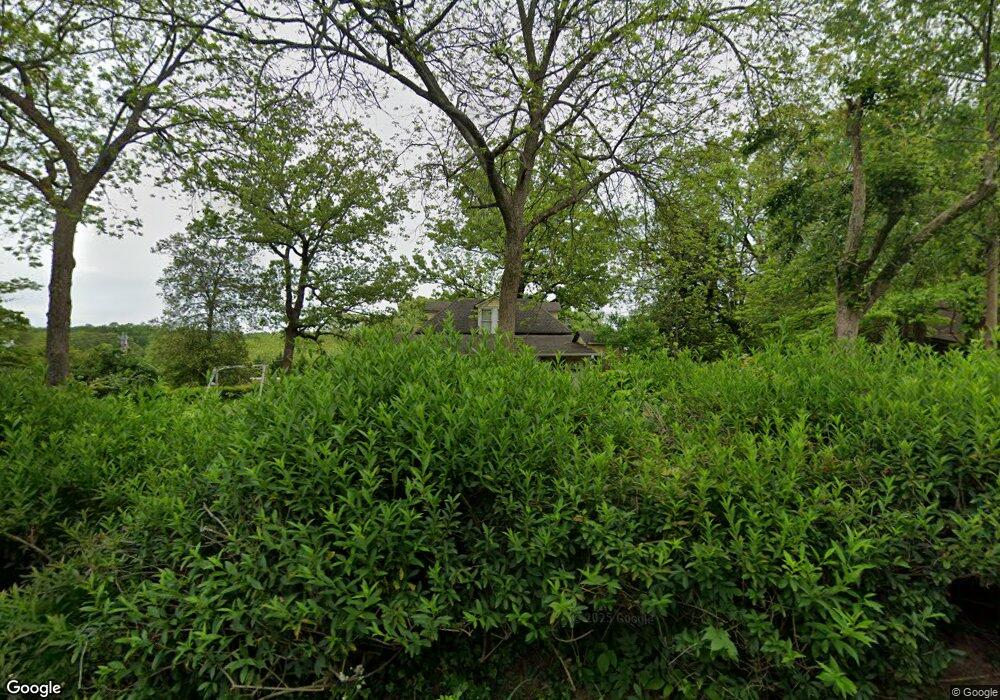
172 Sosebee Ln Demorest, GA 30535
Estimated Value: $226,060 - $274,000
1
Bed
1
Bath
1,395
Sq Ft
$182/Sq Ft
Est. Value
About This Home
This home is located at 172 Sosebee Ln, Demorest, GA 30535 and is currently estimated at $254,015, approximately $182 per square foot. 172 Sosebee Ln is a home with nearby schools including Demorest Elementary School, Wilbanks Middle School, and Habersham Success Academy.
Ownership History
Date
Name
Owned For
Owner Type
Purchase Details
Closed on
Jun 27, 2022
Sold by
Bearden Sue V
Bought by
Showalter Steven M and Showalter Deborah Bearden
Current Estimated Value
Home Financials for this Owner
Home Financials are based on the most recent Mortgage that was taken out on this home.
Original Mortgage
$150,000
Outstanding Balance
$142,720
Interest Rate
5.1%
Mortgage Type
New Conventional
Estimated Equity
$111,295
Purchase Details
Closed on
Apr 7, 2022
Sold by
Bearden Sue V
Bought by
Bearden Sue V and Showalter Deborah Bearden
Create a Home Valuation Report for This Property
The Home Valuation Report is an in-depth analysis detailing your home's value as well as a comparison with similar homes in the area
Home Values in the Area
Average Home Value in this Area
Purchase History
| Date | Buyer | Sale Price | Title Company |
|---|---|---|---|
| Showalter Steven M | -- | -- | |
| Bearden Sue V | -- | -- |
Source: Public Records
Mortgage History
| Date | Status | Borrower | Loan Amount |
|---|---|---|---|
| Open | Showalter Steven M | $150,000 |
Source: Public Records
Tax History Compared to Growth
Tax History
| Year | Tax Paid | Tax Assessment Tax Assessment Total Assessment is a certain percentage of the fair market value that is determined by local assessors to be the total taxable value of land and additions on the property. | Land | Improvement |
|---|---|---|---|---|
| 2025 | $1,078 | $94,651 | $14,102 | $80,549 |
| 2024 | -- | $69,432 | $10,100 | $59,332 |
| 2023 | $254 | $59,280 | $10,100 | $49,180 |
| 2022 | $466 | $50,364 | $8,080 | $42,284 |
| 2021 | $435 | $46,144 | $8,080 | $38,064 |
| 2020 | $407 | $34,060 | $8,080 | $25,980 |
| 2019 | $407 | $34,060 | $8,080 | $25,980 |
| 2018 | $399 | $34,060 | $8,080 | $25,980 |
| 2017 | $807 | $32,124 | $8,080 | $24,044 |
| 2016 | $347 | $80,310 | $8,080 | $24,044 |
| 2015 | $336 | $80,310 | $8,080 | $24,044 |
| 2014 | $342 | $79,560 | $8,080 | $23,744 |
| 2013 | -- | $31,824 | $8,080 | $23,744 |
Source: Public Records
Map
Nearby Homes
- 133 Blue Ridge Ave
- 274 & 278 N Hazel Ave
- 198 Hickory Ave
- 515 Wauka Dr
- 545 Wauka Dr
- 539 Wauka Dr
- 536 Wauka Dr
- 544 Wauka Dr
- Plan 2131 at Habersham Meadows
- Plan 1709 at Habersham Meadows
- Plan 2307 at Habersham Meadows
- Plan 1902 at Habersham Meadows
- Plan 3119 at Habersham Meadows
- Plan 2408 at Habersham Meadows
- Plan 2100 at Habersham Meadows
- Plan 2628 at Habersham Meadows
- Plan 3105 at Habersham Meadows
- Plan 2121 at Habersham Meadows
- Plan 1602-2 at Habersham Meadows
- Plan 1643 at Habersham Meadows
- 160 Sosebee Ln
- 0 Rockhouse Ln Unit 2 2879873
- 8 Rockhouse Crossing
- 18 Rockhouse Ln
- 17 Rockhouse Ln
- 13 Rockhouse Crossing
- 12 Rockhouse Crossing
- 11 Rockhouse Crossing
- 16 Rockhouse Ln
- 14 Rockhouse Crossing
- 0 New York St Unit 2946865
- 0 Wayward Winds Dr Unit LOT 2 3122713
- 0 Lake Front Dr Unit LT 5D 3268659
- 0 New York St Unit 3278010
- 0 Wayward Winds Dr Unit 9063635
- 0 Wayward Winds Dr Unit 6954691
- 500 Shook and Garrett Rd Unit 13
- 196 Sosebee Ln
- 834 Central Ave
- 824 Central Ave