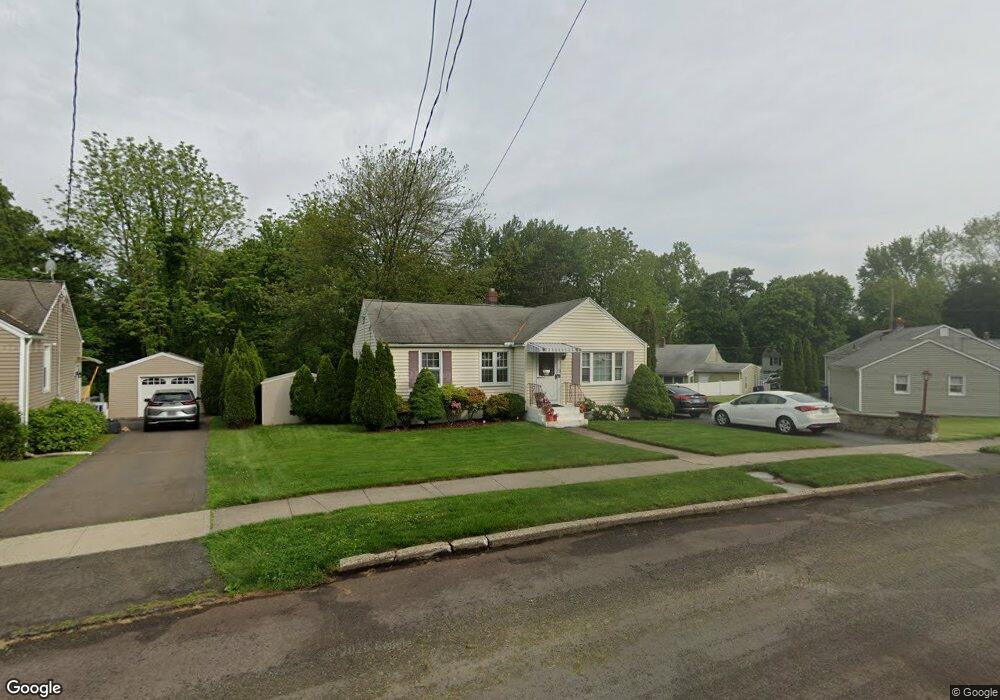
172 Winslow Dr West Haven, CT 06516
West Shore NeighborhoodEstimated Value: $375,058 - $446,000
2
Beds
2
Baths
964
Sq Ft
$410/Sq Ft
Est. Value
About This Home
This home is located at 172 Winslow Dr, West Haven, CT 06516 and is currently estimated at $395,015, approximately $409 per square foot. 172 Winslow Dr is a home located in New Haven County with nearby schools including Carrigan 5/6 Intermediate School, Harry M. Bailey Middle School, and West Haven High School.
Ownership History
Date
Name
Owned For
Owner Type
Purchase Details
Closed on
Oct 7, 2002
Sold by
Brunetti John A and Brunetti Marie L
Bought by
Vieira Frank R
Current Estimated Value
Home Financials for this Owner
Home Financials are based on the most recent Mortgage that was taken out on this home.
Original Mortgage
$150,000
Interest Rate
6.27%
Mortgage Type
Purchase Money Mortgage
Purchase Details
Closed on
Nov 6, 2001
Sold by
Daddi Vincent A and Daddi Linda L
Bought by
Brunetti John A and Brunetti Maria L
Home Financials for this Owner
Home Financials are based on the most recent Mortgage that was taken out on this home.
Original Mortgage
$120,000
Interest Rate
6.82%
Mortgage Type
Purchase Money Mortgage
Create a Home Valuation Report for This Property
The Home Valuation Report is an in-depth analysis detailing your home's value as well as a comparison with similar homes in the area
Home Values in the Area
Average Home Value in this Area
Purchase History
| Date | Buyer | Sale Price | Title Company |
|---|---|---|---|
| Vieira Frank R | $192,000 | -- | |
| Brunetti John A | $167,900 | -- | |
| Vieira Frank R | $192,000 | -- | |
| Brunetti John A | $167,900 | -- |
Source: Public Records
Mortgage History
| Date | Status | Borrower | Loan Amount |
|---|---|---|---|
| Closed | Brunetti John A | $150,000 | |
| Previous Owner | Brunetti John A | $120,000 |
Source: Public Records
Tax History Compared to Growth
Tax History
| Year | Tax Paid | Tax Assessment Tax Assessment Total Assessment is a certain percentage of the fair market value that is determined by local assessors to be the total taxable value of land and additions on the property. | Land | Improvement |
|---|---|---|---|---|
| 2025 | $6,601 | $200,830 | $86,520 | $114,310 |
| 2024 | $5,986 | $127,750 | $59,920 | $67,830 |
| 2023 | $5,762 | $127,750 | $59,920 | $67,830 |
| 2022 | $5,658 | $127,750 | $59,920 | $67,830 |
| 2021 | $6,109 | $127,750 | $59,920 | $67,830 |
| 2020 | $5,876 | $120,890 | $55,090 | $65,800 |
| 2019 | $5,689 | $120,890 | $55,090 | $65,800 |
| 2018 | $5,608 | $120,890 | $55,090 | $65,800 |
| 2017 | $5,457 | $120,890 | $55,090 | $65,800 |
| 2016 | $5,396 | $120,890 | $55,090 | $65,800 |
| 2015 | $5,220 | $130,900 | $59,150 | $71,750 |
| 2014 | $5,220 | $130,900 | $59,150 | $71,750 |
Source: Public Records
Map
Nearby Homes