Estimated Value: $360,000 - $438,000
3
Beds
2
Baths
1,526
Sq Ft
$258/Sq Ft
Est. Value
About This Home
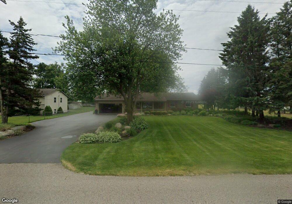
This home is located at 1720 143rd Ave, Dorr, MI 49323 and is currently estimated at $393,412, approximately $257 per square foot. 1720 143rd Ave is a home located in Allegan County with nearby schools including Wayland High School, Moline Christian School, and St. Stanislaus School.
Ownership History
Date
Name
Owned For
Owner Type
Purchase Details
Closed on
Oct 12, 2016
Sold by
Stallard Carole Y and Stallard Carol Y
Bought by
Nyenhuis Rex A and Nyenhuis Sallie J
Current Estimated Value
Purchase Details
Closed on
Dec 9, 2011
Sold by
Stallard Carol and Stallard Larry
Bought by
Stallard Carol
Create a Home Valuation Report for This Property
The Home Valuation Report is an in-depth analysis detailing your home's value as well as a comparison with similar homes in the area
Home Values in the Area
Average Home Value in this Area
Purchase History
| Date | Buyer | Sale Price | Title Company |
|---|---|---|---|
| Nyenhuis Rex A | $115,000 | Cfc Title Services Inc | |
| Stallard Carol | -- | None Available | |
| Stallard Carol Y | -- | None Available |
Source: Public Records
Tax History
| Year | Tax Paid | Tax Assessment Tax Assessment Total Assessment is a certain percentage of the fair market value that is determined by local assessors to be the total taxable value of land and additions on the property. | Land | Improvement |
|---|---|---|---|---|
| 2025 | $2,495 | $200,200 | $72,900 | $127,300 |
| 2024 | $2,291 | $169,500 | $48,800 | $120,700 |
| 2023 | $2,346 | $152,700 | $48,300 | $104,400 |
| 2022 | $2,291 | $132,600 | $45,600 | $87,000 |
| 2021 | $2,119 | $115,600 | $33,200 | $82,400 |
| 2020 | $2,024 | $123,300 | $42,500 | $80,800 |
| 2019 | $2,024 | $106,400 | $27,000 | $79,400 |
| 2018 | $1,981 | $99,500 | $27,000 | $72,500 |
| 2017 | $0 | $96,600 | $20,300 | $76,300 |
| 2016 | $0 | $73,900 | $19,500 | $54,400 |
| 2015 | -- | $73,900 | $19,500 | $54,400 |
| 2014 | -- | $67,900 | $19,500 | $48,400 |
| 2013 | -- | $64,400 | $18,800 | $45,600 |
Source: Public Records
Map
Nearby Homes
- 1341 142nd Ave
- Lots A&B 142nd Ave
- 4087 Gene Ct
- 4035 Patti Rd
- 4069 21st St
- 4335 Tavistock Dr
- 4316 Sussex Place
- 1125 Russell St
- 4273 Highpoint Dr Unit 112
- 4269 Highpoint Dr Unit 114
- 4271 Highpoint Dr Unit 113
- 4294 Highpoint Dr Unit 103
- 1069 Sunnyside Dr
- 4279 Highpoint Dr
- 4249 Butternut Dr
- 4245 Butternut Dr
- 4243 Butternut Dr
- Lot 120 Old Farm Dr
- 10780 Windward Ave SW
- Lot 131 Butternut Dr
- 1716 143rd Ave Unit 1
- 1733 143rd Ave
- 1710 143rd Ave
- 1717 Agnes Ave Unit 5
- 1729 143rd Ave
- 1726 143rd Ave
- 1705 Agnes Ave
- 1711 Agnes Ave Unit 4
- 1711 Agnes Dr
- 1735 143rd Ave
- 4296 17th St Unit 2
- 1725 143rd Ave
- 1705 143rd Ave
- 4292 17th St
- 1738 143rd Ave
- 4293 Cheetah Run Dr Unit 1
- 1718 Agnes Ave
- 4305 Alpine St
- 4289 Cheetah Run Dr Unit 2
- 4315 Alpine St
Your Personal Tour Guide
Ask me questions while you tour the home.