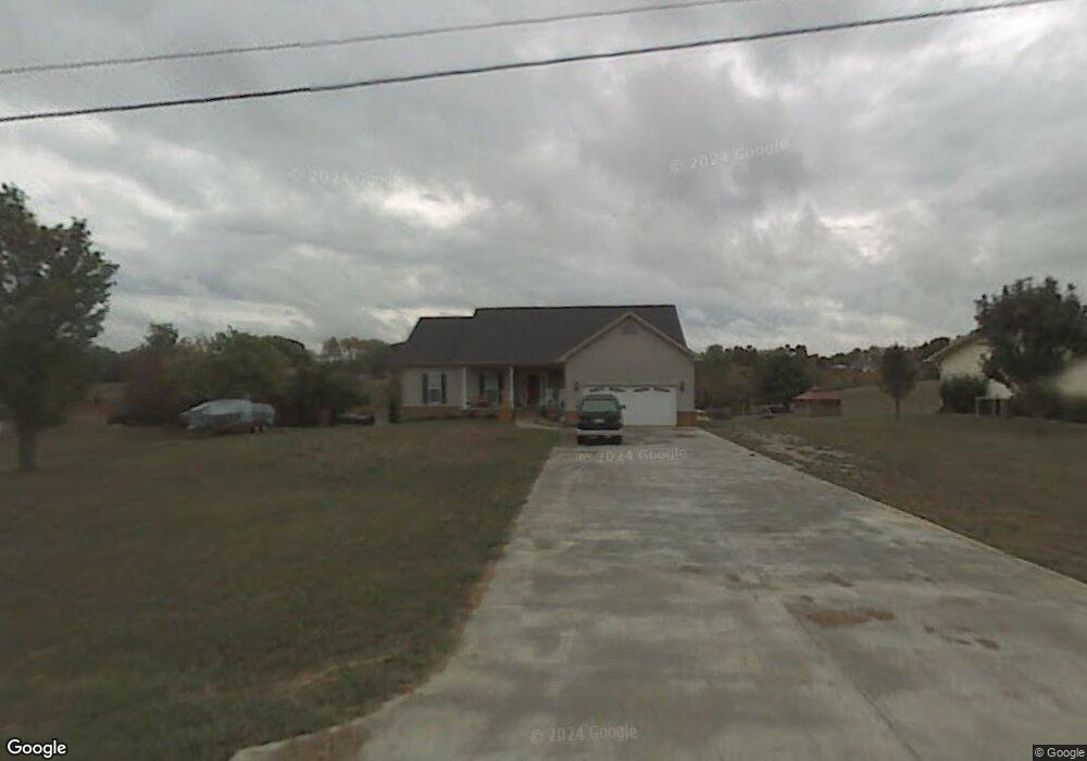
1720 Brookview Dr Dandridge, TN 37725
Estimated Value: $568,000 - $733,000
--
Bed
4
Baths
1,791
Sq Ft
$347/Sq Ft
Est. Value
About This Home
This home is located at 1720 Brookview Dr, Dandridge, TN 37725 and is currently estimated at $621,878, approximately $347 per square foot. 1720 Brookview Dr is a home located in Jefferson County.
Ownership History
Date
Name
Owned For
Owner Type
Purchase Details
Closed on
Nov 10, 2005
Sold by
Charles Jordan
Bought by
Olson Fredrick W
Current Estimated Value
Purchase Details
Closed on
Feb 27, 1997
Sold by
Max Overton
Bought by
Charles Jordan
Purchase Details
Closed on
Aug 7, 1996
Sold by
William Haywood
Bought by
Max Overton
Purchase Details
Closed on
Jul 9, 1992
Bought by
Haywood William
Purchase Details
Closed on
May 9, 1991
Bought by
Whillock Robert R
Purchase Details
Closed on
Apr 16, 1980
Bought by
Grounds Kenneth B and Grounds Helga
Purchase Details
Closed on
Feb 8, 1979
Purchase Details
Closed on
Jul 28, 1978
Purchase Details
Closed on
Jul 3, 1978
Create a Home Valuation Report for This Property
The Home Valuation Report is an in-depth analysis detailing your home's value as well as a comparison with similar homes in the area
Home Values in the Area
Average Home Value in this Area
Purchase History
| Date | Buyer | Sale Price | Title Company |
|---|---|---|---|
| Olson Fredrick W | $60,000 | -- | |
| Charles Jordan | $30,000 | -- | |
| Max Overton | $26,000 | -- | |
| Haywood William | $12,500 | -- | |
| Whillock Robert R | $7,500 | -- | |
| Grounds Kenneth B | -- | -- | |
| -- | -- | -- | |
| -- | -- | -- | |
| -- | -- | -- |
Source: Public Records
Tax History Compared to Growth
Tax History
| Year | Tax Paid | Tax Assessment Tax Assessment Total Assessment is a certain percentage of the fair market value that is determined by local assessors to be the total taxable value of land and additions on the property. | Land | Improvement |
|---|---|---|---|---|
| 2025 | $1,593 | $154,425 | $39,125 | $115,300 |
| 2023 | $1,593 | $69,275 | $0 | $0 |
| 2022 | $1,517 | $69,275 | $10,625 | $58,650 |
| 2021 | $1,517 | $69,275 | $10,625 | $58,650 |
| 2020 | $1,517 | $69,275 | $10,625 | $58,650 |
| 2019 | $1,517 | $69,275 | $10,625 | $58,650 |
| 2018 | $1,409 | $59,975 | $9,500 | $50,475 |
| 2017 | $1,409 | $59,975 | $9,500 | $50,475 |
| 2016 | $1,409 | $59,975 | $9,500 | $50,475 |
| 2015 | $1,409 | $59,975 | $9,500 | $50,475 |
| 2014 | $1,409 | $59,975 | $9,500 | $50,475 |
Source: Public Records
Map
Nearby Homes
- 1635 Sams Dr
- 1614 Sams Dr
- 1710 Ferry Hill Rd
- 312 Economy Cir
- 1920 Mountain Lake Dr
- Lots 1&2 Ferry Hill Rd
- 1737 Doc Terry Rd
- 626 Briarwood Dr
- 1476 Martha Dandridge Cir
- 1045 Southwind Cir
- 1018 Southwind Cir
- 625 Armstrong Dr
- 136 Crosslake Ln
- 428 River Bend Dr
- 417 Little Cove Dr
- 118 Luxury Ln
- 1806 Pheasant Crossing Dr
- 450 Riverbend Dr
- 1988 Lakebrook Cir
- 1991 Lakebrook Cir
- 1716 Brookview Dr
- 1722 Brookview Dr
- 1714 Brookview Dr
- 1717 Brookview Dr
- 1710 Brookview Dr
- 1731 Brookview Dr
- 1711 Brookview Dr
- 1736 Brookview Dr
- 1700 Brookview Dr
- 1737 Brookview Dr
- 627 Mt Laurel Dr
- 623 Mt Laurel Dr
- 685 Brookview Dr
- 613 Mt Laurel Dr
- 1692 Brookview Dr
- 669 Victoria Dr
- 669 Victoria Dr
- 1691 Brookview Dr
- Lot 36 Mt Laurel Dr
- 609 Mt Laurel Dr