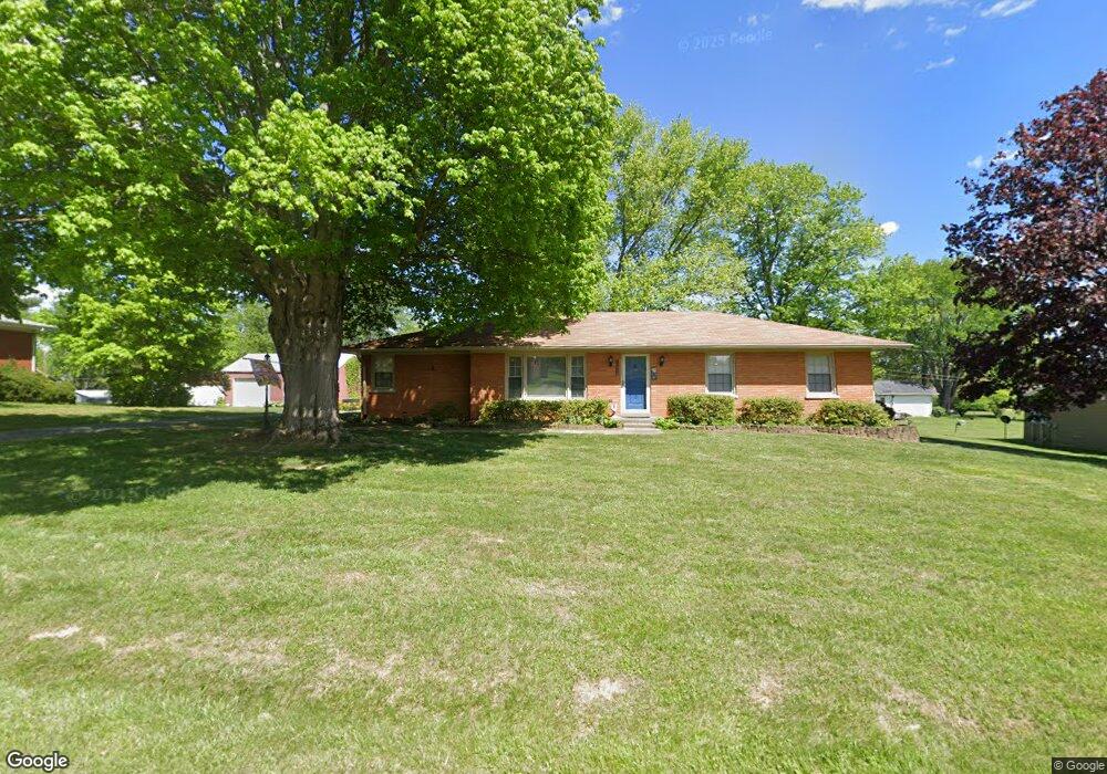
1720 Canal Ln Georgetown, IN 47122
Estimated Value: $213,000 - $244,000
3
Beds
2
Baths
1,232
Sq Ft
$186/Sq Ft
Est. Value
About This Home
This home is located at 1720 Canal Ln, Georgetown, IN 47122 and is currently estimated at $228,911, approximately $185 per square foot. 1720 Canal Ln is a home located in Floyd County with nearby schools including Georgetown Elementary School, Highland Hills Middle School, and Floyd Central High School.
Ownership History
Date
Name
Owned For
Owner Type
Purchase Details
Closed on
Apr 29, 2021
Sold by
Kaufer Eric and Kaufer Jessica
Bought by
Doose Michael W and Doose Catherine L
Current Estimated Value
Home Financials for this Owner
Home Financials are based on the most recent Mortgage that was taken out on this home.
Original Mortgage
$181,300
Outstanding Balance
$164,303
Interest Rate
3.1%
Mortgage Type
VA
Estimated Equity
$64,608
Purchase Details
Closed on
Jul 27, 2007
Sold by
Loop Frank A and Loop Mary Jo
Bought by
Aa Properties Inc
Home Financials for this Owner
Home Financials are based on the most recent Mortgage that was taken out on this home.
Original Mortgage
$136,000
Interest Rate
6.71%
Mortgage Type
Future Advance Clause Open End Mortgage
Purchase Details
Closed on
Jun 29, 2007
Sold by
Loop Frank and Loop Mary Jo
Bought by
Loop Frank and Loop Mary Jo
Home Financials for this Owner
Home Financials are based on the most recent Mortgage that was taken out on this home.
Original Mortgage
$136,000
Interest Rate
6.71%
Mortgage Type
Future Advance Clause Open End Mortgage
Create a Home Valuation Report for This Property
The Home Valuation Report is an in-depth analysis detailing your home's value as well as a comparison with similar homes in the area
Home Values in the Area
Average Home Value in this Area
Purchase History
| Date | Buyer | Sale Price | Title Company |
|---|---|---|---|
| Doose Michael W | -- | Investors Title | |
| Aa Properties Inc | -- | None Available | |
| Loop Frank | -- | None Available |
Source: Public Records
Mortgage History
| Date | Status | Borrower | Loan Amount |
|---|---|---|---|
| Open | Doose Michael W | $181,300 | |
| Previous Owner | Aa Properties Inc | $136,000 |
Source: Public Records
Tax History Compared to Growth
Tax History
| Year | Tax Paid | Tax Assessment Tax Assessment Total Assessment is a certain percentage of the fair market value that is determined by local assessors to be the total taxable value of land and additions on the property. | Land | Improvement |
|---|---|---|---|---|
| 2024 | $627 | $126,700 | $27,600 | $99,100 |
| 2023 | $633 | $129,000 | $27,600 | $101,400 |
| 2022 | $681 | $130,100 | $27,600 | $102,500 |
| 2021 | $906 | $121,400 | $27,600 | $93,800 |
| 2020 | $2,309 | $121,500 | $27,600 | $93,900 |
| 2019 | $2,253 | $121,500 | $27,600 | $93,900 |
| 2018 | $2,161 | $115,000 | $27,600 | $87,400 |
| 2017 | $2,279 | $114,300 | $27,600 | $86,700 |
| 2016 | $2,175 | $106,100 | $27,600 | $78,500 |
| 2014 | $2,435 | $121,700 | $27,600 | $94,100 |
| 2013 | -- | $118,700 | $27,600 | $91,100 |
Source: Public Records
Map
Nearby Homes
- 1115 Marci Ln
- 8048 Hudson Ln
- 8890 High St
- 8058 Hudson Ln
- 8031 Hudson Ln
- 1236 Walts Rd
- 1232 Walts Rd
- 1036 Brookstone Ct
- 1034 Brookstone Ct
- 1027 Brookstone Ct
- 7003- LOT 970 Mitsch Ln
- 6614 State Road 64 Vacant Land
- 7005- LOT 969 Mitsch Ln
- 7006- LOT 920 Mitsch Ln
- 6015 Addison Springs Ct
- 1026 Brookstone Ct
- 7014 Dylan Cir
- 9180 Robin Rd
- 4038 Oakstone Dr
- 4046 Oakstone Dr