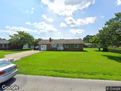
1720 Dock Landing Rd Chesapeake, VA 23321
Western Branch NeighborhoodEstimated Value: $346,000 - $370,480
3
Beds
3
Baths
1,504
Sq Ft
$237/Sq Ft
Est. Value
About This Home
This home is located at 1720 Dock Landing Rd, Chesapeake, VA 23321 and is currently estimated at $356,370, approximately $236 per square foot. 1720 Dock Landing Rd is a home located in Chesapeake City with nearby schools including Edwin W. Chittum Elementary School, Jolliff Middle School, and Western Branch High School.
Ownership History
Date
Name
Owned For
Owner Type
Purchase Details
Closed on
Apr 25, 2023
Sold by
Pickard Mark Allen
Bought by
Carlson Caleb Walter and Carlson Mireya Linda
Current Estimated Value
Purchase Details
Closed on
Jul 26, 2021
Sold by
Ripper Shirley L and Owenss Kathryn A
Bought by
Pickard Mark Allen
Home Financials for this Owner
Home Financials are based on the most recent Mortgage that was taken out on this home.
Original Mortgage
$284,382
Interest Rate
2.93%
Mortgage Type
VA
Create a Home Valuation Report for This Property
The Home Valuation Report is an in-depth analysis detailing your home's value as well as a comparison with similar homes in the area
Home Values in the Area
Average Home Value in this Area
Purchase History
| Date | Buyer | Sale Price | Title Company |
|---|---|---|---|
| Carlson Caleb Walter | $311,500 | Fidelity National Title | |
| Pickard Mark Allen | $274,500 | Select Settlement Group Inc |
Source: Public Records
Mortgage History
| Date | Status | Borrower | Loan Amount |
|---|---|---|---|
| Previous Owner | Pickard Mark Allen | $284,382 |
Source: Public Records
Tax History Compared to Growth
Tax History
| Year | Tax Paid | Tax Assessment Tax Assessment Total Assessment is a certain percentage of the fair market value that is determined by local assessors to be the total taxable value of land and additions on the property. | Land | Improvement |
|---|---|---|---|---|
| 2024 | $3,353 | $332,000 | $160,000 | $172,000 |
| 2023 | $2,749 | $311,800 | $150,000 | $161,800 |
| 2022 | $2,765 | $273,800 | $120,000 | $153,800 |
| 2021 | $2,428 | $220,500 | $100,000 | $120,500 |
| 2020 | $0 | $218,300 | $100,000 | $118,300 |
| 2019 | $2,066 | $217,300 | $100,000 | $117,300 |
| 2018 | $0 | $196,800 | $80,000 | $116,800 |
| 2017 | $1,814 | $196,500 | $85,500 | $111,000 |
| 2016 | $2,066 | $196,800 | $80,000 | $116,800 |
| 2015 | -- | $196,800 | $80,000 | $116,800 |
| 2014 | $2,066 | $196,800 | $80,000 | $116,800 |
Source: Public Records
Map
Nearby Homes
- 4016 Maple Dr
- 3820 Whites Landing
- 4262 Schooner Trail
- 4017 Middleburg Ln
- 4229 White Cap Crescent
- MM Magnolia 2 W
- MM Rosewood 2
- MM Rosewood
- MM Bayberry
- MM Bradford 2
- MM Dogwood 2
- MM Bayberry 2
- 4182 Taughtline Loop
- MM Nansemond
- 4252 Raleigh Rd
- 4072 Sloop Trail
- 4204 Jennell Ct
- 4128 Sunkist Rd
- 3932 Sextant St
- 3917 Sextant St
- 1720 Dock Landing Rd
- 1716 Dock Landing Rd
- 1724 Dock Landing Rd
- 1733 Pattie Ln
- 1729 Pattie Ln
- 1728 Dock Landing Rd
- 1725 Pattie Ln
- 1737 Pattie Ln
- 1732 Dock Landing Rd
- 1709 Dock Landing Rd
- 1741 Pattie Ln
- 1732 Pattie Ln
- 1708 Dock Landing Rd
- 4008 Scotfield Dr
- 1733 Dock Landing Rd
- 1721 Pattie Ln
- 1736 Dock Landing Rd
- 1707 Dock Landing Rd
- 1745 Pattie Ln
- 1744 Pattie Ln