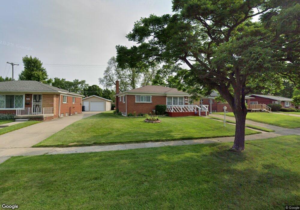
1720 Griggs Dr Flint, MI 48504
Bel-Aire Woods NeighborhoodEstimated Value: $53,407 - $74,000
3
Beds
1
Bath
1,053
Sq Ft
$62/Sq Ft
Est. Value
About This Home
This home is located at 1720 Griggs Dr, Flint, MI 48504 and is currently estimated at $65,602, approximately $62 per square foot. 1720 Griggs Dr is a home located in Genesee County with nearby schools including Brownell STEM Academy, The New Standard Academy, and Eagle's Nest Academy.
Ownership History
Date
Name
Owned For
Owner Type
Purchase Details
Closed on
Jul 29, 2004
Sold by
Hud
Bought by
Rouser Alvita
Current Estimated Value
Home Financials for this Owner
Home Financials are based on the most recent Mortgage that was taken out on this home.
Original Mortgage
$35,000
Outstanding Balance
$17,623
Interest Rate
6.34%
Mortgage Type
Purchase Money Mortgage
Estimated Equity
$47,979
Purchase Details
Closed on
May 6, 2004
Sold by
Guardian Mortgage Co Inc
Bought by
Hud
Purchase Details
Closed on
Apr 1, 2004
Sold by
Johnson Valerie L
Bought by
Guardian Mortgage Co Inc
Create a Home Valuation Report for This Property
The Home Valuation Report is an in-depth analysis detailing your home's value as well as a comparison with similar homes in the area
Home Values in the Area
Average Home Value in this Area
Purchase History
| Date | Buyer | Sale Price | Title Company |
|---|---|---|---|
| Rouser Alvita | $35,000 | Centennial Title Co | |
| Hud | -- | Philip F Gneco Title Company | |
| Guardian Mortgage Co Inc | $22,422 | -- |
Source: Public Records
Mortgage History
| Date | Status | Borrower | Loan Amount |
|---|---|---|---|
| Open | Rouser Alvita | $35,000 |
Source: Public Records
Tax History Compared to Growth
Tax History
| Year | Tax Paid | Tax Assessment Tax Assessment Total Assessment is a certain percentage of the fair market value that is determined by local assessors to be the total taxable value of land and additions on the property. | Land | Improvement |
|---|---|---|---|---|
| 2025 | $785 | $19,500 | $0 | $0 |
| 2024 | $718 | $17,400 | $0 | $0 |
| 2023 | $710 | $14,400 | $0 | $0 |
| 2022 | $0 | $10,500 | $0 | $0 |
| 2021 | $733 | $10,600 | $0 | $0 |
| 2020 | $668 | $10,600 | $0 | $0 |
| 2019 | $656 | $8,300 | $0 | $0 |
| 2018 | $691 | $9,100 | $0 | $0 |
| 2017 | $760 | $0 | $0 | $0 |
| 2016 | $755 | $0 | $0 | $0 |
| 2015 | -- | $0 | $0 | $0 |
| 2014 | -- | $0 | $0 | $0 |
| 2012 | -- | $14,300 | $0 | $0 |
Source: Public Records
Map
Nearby Homes
- 5616 Griggs Dr
- 1902 Marlowe Dr
- 5620 Marlowe Dr
- 1720 Marlowe Dr
- 5806 Marlowe Dr
- 1709 W Home Ave
- 1625 Barbara Dr
- 1605 Barbara Dr
- 1621 Shamrock Ln
- 5106 Cloverlawn Dr
- 2017 Chateau Dr
- 5302 Susan St
- 1913 Cherrylawn Dr
- 6414 Valorie Ln
- 5610 Baldwin Blvd
- 1816 Russet Place
- 5318 Baldwin Blvd
- 2118 Santa Barbara Dr
- 5210 Dupont St
- 5714 Suburban Ct