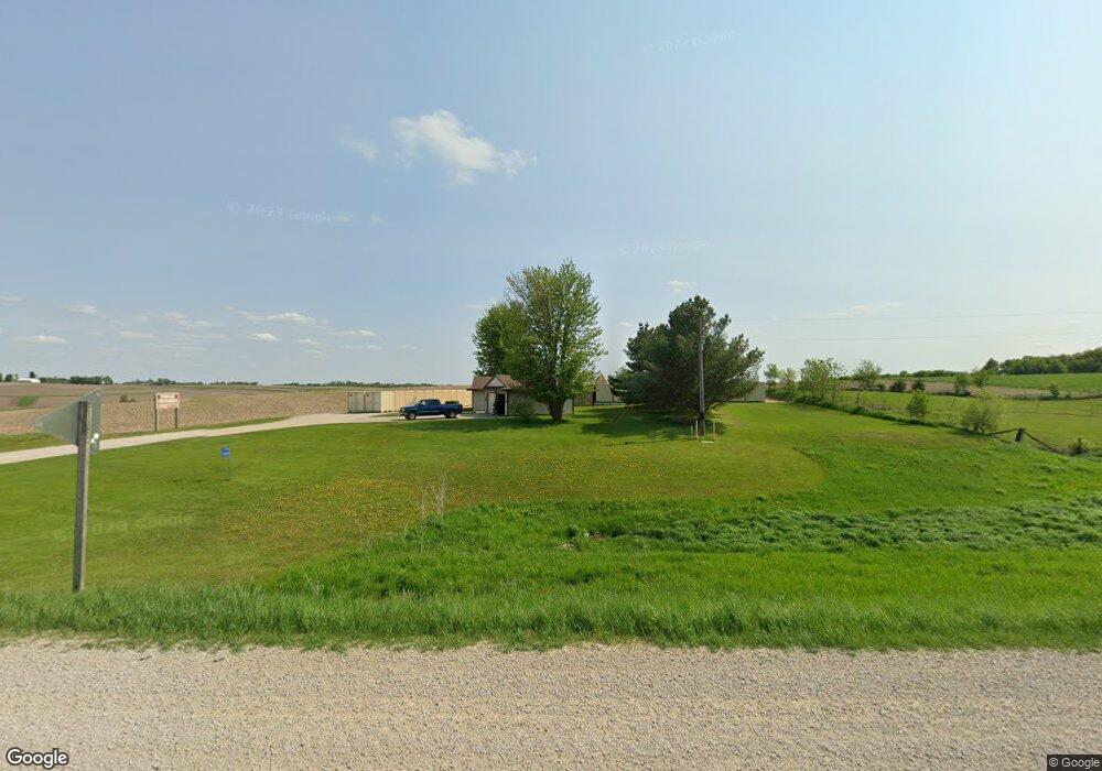
1720 Highway 9 Waukon, IA 52172
Estimated Value: $259,064
2
Beds
1
Bath
864
Sq Ft
$300/Sq Ft
Est. Value
About This Home
This home is located at 1720 Highway 9, Waukon, IA 52172 and is currently estimated at $259,064, approximately $299 per square foot. 1720 Highway 9 is a home located in Allamakee County with nearby schools including West Campus Elementary School, East Campus Elementary School, and Waukon Middle School.
Create a Home Valuation Report for This Property
The Home Valuation Report is an in-depth analysis detailing your home's value as well as a comparison with similar homes in the area
Home Values in the Area
Average Home Value in this Area
Tax History Compared to Growth
Tax History
| Year | Tax Paid | Tax Assessment Tax Assessment Total Assessment is a certain percentage of the fair market value that is determined by local assessors to be the total taxable value of land and additions on the property. | Land | Improvement |
|---|---|---|---|---|
| 2025 | $1,624 | $138,200 | $39,000 | $99,200 |
| 2024 | $1,624 | $126,800 | $29,200 | $97,600 |
| 2023 | $1,576 | $126,800 | $29,200 | $97,600 |
| 2022 | $1,262 | $91,300 | $24,300 | $67,000 |
| 2021 | $1,262 | $94,000 | $27,000 | $67,000 |
| 2020 | $1,262 | $87,800 | $26,900 | $60,900 |
| 2019 | $1,228 | $97,900 | $0 | $0 |
| 2018 | $1,194 | $97,900 | $0 | $0 |
| 2017 | $1,194 | $97,500 | $0 | $0 |
| 2016 | $1,106 | $97,500 | $0 | $0 |
| 2015 | $1,106 | $89,900 | $0 | $0 |
| 2014 | $1,018 | $89,900 | $0 | $0 |
Source: Public Records
Map
Nearby Homes
- 0 SW 11th Ave Unit 20222752
- Allamakee Co. Ia Parcel Id#
- 104 6th Ave SW
- 303 5th St SW
- 208 4th St SW
- 605 1st Ave SW
- 306 Sw St
- 607 W Main St
- 22 3rd Ave SE
- 525 4th St SE
- 0 Parcel Id#1031351007 Unit 20211899
- 0 Parcel Id#1506100051 Unit 20211897
- 0 Parcel Id#1031376012 Unit 20211905
- 0 Parcel Id#1031376013 Unit 20211902
- 0 Parcel Id#1031351004 Unit 20211906
- 0 Parcel Id#1031376005 Unit 20211907
- 0 Parcel Id#1031351006 Unit 20211900
- 430 9th St NW
- 602 2nd St NW
- 820 4th St NW