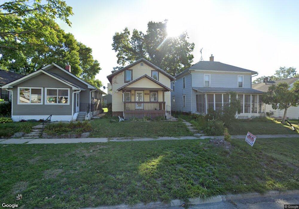
1720 I Ave NE Cedar Rapids, IA 52402
Mound View NeighborhoodEstimated Value: $983,018
--
Bed
--
Bath
18,150
Sq Ft
$54/Sq Ft
Est. Value
About This Home
This home is located at 1720 I Ave NE, Cedar Rapids, IA 52402 and is currently estimated at $983,018, approximately $54 per square foot. 1720 I Ave NE is a home located in Linn County with nearby schools including Garfield Elementary School, Franklin Middle School, and George Washington High School.
Ownership History
Date
Name
Owned For
Owner Type
Purchase Details
Closed on
May 26, 2021
Sold by
Commonground Capital Llc
Bought by
Jwb B38 Llc
Current Estimated Value
Home Financials for this Owner
Home Financials are based on the most recent Mortgage that was taken out on this home.
Original Mortgage
$720,000
Outstanding Balance
$652,883
Interest Rate
3%
Mortgage Type
Stand Alone Second
Estimated Equity
$330,135
Purchase Details
Closed on
Feb 26, 2014
Sold by
James W Bell Co Inc
Bought by
Commonground Capital Llc
Home Financials for this Owner
Home Financials are based on the most recent Mortgage that was taken out on this home.
Original Mortgage
$440,000
Interest Rate
4.45%
Mortgage Type
Future Advance Clause Open End Mortgage
Create a Home Valuation Report for This Property
The Home Valuation Report is an in-depth analysis detailing your home's value as well as a comparison with similar homes in the area
Home Values in the Area
Average Home Value in this Area
Purchase History
| Date | Buyer | Sale Price | Title Company |
|---|---|---|---|
| Jwb B38 Llc | $820,000 | River Ridge Escrow Co | |
| Commonground Capital Llc | $560,625 | None Available |
Source: Public Records
Mortgage History
| Date | Status | Borrower | Loan Amount |
|---|---|---|---|
| Open | Jwb B38 Llc | $720,000 | |
| Previous Owner | Commonground Capital Llc | $440,000 |
Source: Public Records
Tax History Compared to Growth
Tax History
| Year | Tax Paid | Tax Assessment Tax Assessment Total Assessment is a certain percentage of the fair market value that is determined by local assessors to be the total taxable value of land and additions on the property. | Land | Improvement |
|---|---|---|---|---|
| 2025 | $21,262 | $816,200 | $273,700 | $542,500 |
| 2024 | $22,102 | $766,800 | $273,700 | $493,100 |
| 2023 | $22,102 | $691,400 | $273,700 | $417,700 |
| 2022 | $23,944 | $695,200 | $273,700 | $421,500 |
| 2021 | $19,412 | $1,116,700 | $273,700 | $843,000 |
| 2020 | $19,412 | $1,047,300 | $262,600 | $784,700 |
| 2019 | $19,712 | $670,900 | $262,600 | $408,300 |
| 2018 | $19,622 | $670,900 | $262,600 | $408,300 |
| 2017 | $16,190 | $568,200 | $262,600 | $305,600 |
| 2016 | $19,541 | $568,200 | $262,600 | $305,600 |
| 2015 | $19,546 | $568,848 | $262,600 | $306,248 |
| 2014 | $17,140 | $568,848 | $262,600 | $306,248 |
| 2013 | $19,760 | $568,848 | $262,600 | $306,248 |
Source: Public Records
Map
Nearby Homes
- 1060 17th St NE
- 1839 K Ave NE
- 1204 Elmhurst Dr NE
- 1815 E Ave NE
- 517 18th St NE
- 910 Maplewood Dr NE
- 1857 E Ave NE
- 1735 C Ave NE
- 1746 B Ave NE
- 1608 B Ave NE
- 1551 C Ave NE
- 832 Daniels St NE
- 1748 A Ave NE
- 2019 G Ave NE
- 826 Daniels St NE
- 1115 27th St NE
- 8821 Zeppelin Ave NE
- 1703 A Ave NE
- 1046 12th St NE
- 116 17th St NE
- 1020 17th St NE
- 1024 17th St NE
- 1016 17th St NE
- 1028 17th St NE
- 1012 17th St NE
- 1030 17th St NE
- 1032 17th St NE
- 1006 17th St NE
- 1004 17th St NE
- 1038 17th St NE
- 1002 17th St NE
- 1044 17th St NE
- 1050 17th St NE
- 1730 I Ave NE
- 1723 J Ave NE
- 1017 17th St NE
- 1025 17th St NE
- 1013 17th St NE
- 1054 17th St NE
- 1007 17th St NE