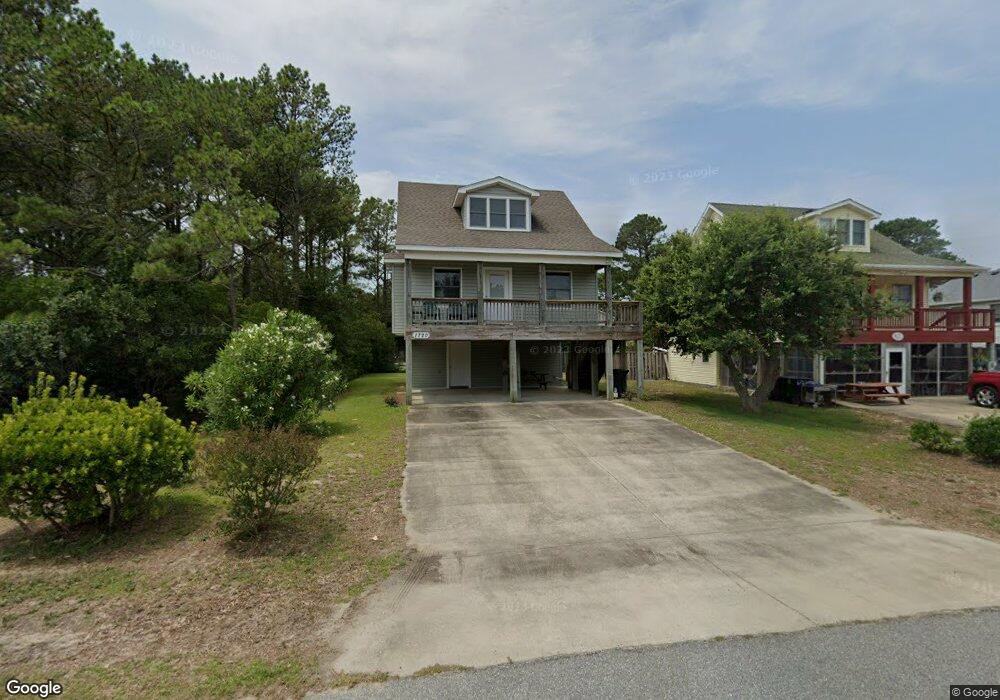
1720 Upper Dune Rd Kill Devil Hills, NC 27948
Estimated Value: $512,000 - $592,000
3
Beds
2
Baths
1,686
Sq Ft
$325/Sq Ft
Est. Value
About This Home
This home is located at 1720 Upper Dune Rd, Kill Devil Hills, NC 27948 and is currently estimated at $548,265, approximately $325 per square foot. 1720 Upper Dune Rd is a home located in Dare County with nearby schools including Nags Head Elementary School, First Flight Middle School, and First Flight High School.
Ownership History
Date
Name
Owned For
Owner Type
Purchase Details
Closed on
May 4, 2005
Sold by
Hewitt Relocation Services Inc
Bought by
Laird David H and Laird Nancy S
Current Estimated Value
Home Financials for this Owner
Home Financials are based on the most recent Mortgage that was taken out on this home.
Original Mortgage
$150,000
Outstanding Balance
$78,459
Interest Rate
5.99%
Mortgage Type
New Conventional
Estimated Equity
$469,806
Create a Home Valuation Report for This Property
The Home Valuation Report is an in-depth analysis detailing your home's value as well as a comparison with similar homes in the area
Home Values in the Area
Average Home Value in this Area
Purchase History
| Date | Buyer | Sale Price | Title Company |
|---|---|---|---|
| Laird David H | -- | None Available | |
| Hewitt Relocation Svcs Inc | $315,000 | None Available |
Source: Public Records
Mortgage History
| Date | Status | Borrower | Loan Amount |
|---|---|---|---|
| Open | Laird David H | $150,000 |
Source: Public Records
Tax History
| Year | Tax Paid | Tax Assessment Tax Assessment Total Assessment is a certain percentage of the fair market value that is determined by local assessors to be the total taxable value of land and additions on the property. | Land | Improvement |
|---|---|---|---|---|
| 2025 | $2,663 | $478,100 | $155,800 | $322,300 |
| 2024 | $2,330 | $299,000 | $84,000 | $215,000 |
| 2023 | $2,324 | $307,600 | $84,000 | $223,600 |
| 2022 | $2,216 | $307,600 | $84,000 | $223,600 |
| 2021 | $2,222 | $307,600 | $84,000 | $223,600 |
| 2020 | $2,216 | $307,600 | $84,000 | $223,600 |
| 2019 | $1,982 | $220,100 | $65,500 | $154,600 |
| 2018 | $1,939 | $220,100 | $65,500 | $154,600 |
| 2017 | $1,939 | $220,100 | $65,500 | $154,600 |
| 2016 | $1,847 | $220,100 | $65,500 | $154,600 |
| 2014 | $1,779 | $220,100 | $65,500 | $154,600 |
Source: Public Records
Map
Nearby Homes
- 1204 Indian Dr Unit Lot 29
- 1106 Indian Dr Unit Lot 27
- 1806 Creek St Unit Lot 13
- 1208 W 4th St Unit 4
- 1817 Sioux St Unit Lot 7
- 1207 W 4th St Unit Lot 45
- 330 Tern Ct Unit Lot 247
- 1317 Devonshire Rd Unit 36
- 700 W First St Unit J-11
- 700 W First St Unit E7
- 700 W First St Unit I-3
- 1208 W 5th St Unit 5
- 1100 W Durham St Unit lot 697
- 700 Skipjack Ln Unit G7
- 1515 Dogwood Ln Unit Lot 58
- 1711 Bobby Lee Trail
- 516 Anika Way Unit Lot 34
- 524 Anika Way Unit Lot 30
- 1005 W Avalon Dr Unit Lot 272
- 512 Anika Way Unit Lot 36
- 1720 Upper Dune Rd Unit 9
- 1718 Upper Dune Rd
- 1722 Upper Dune Rd
- 1716 Upper Dune Rd
- 1721 Sea Swept Rd
- 1724 Upper Dune Rd
- 1719 Sea Swept Rd
- 1723 Sea Swept Rd
- 1714 Upper Dune Rd
- 1717 Sea Swept Rd
- 1725 Sea Swept Rd
- 901 W 3rd St
- 1715 Sea Swept Rd Unit 16
- 1715 Sea Swept Rd
- 903 W 3rd St
- 1712 Upper Dune Rd
- 905 W 3rd St Unit 3
- 905 W 3rd St
- 1722 Apache St
- 1713 Sea Swept Rd
Your Personal Tour Guide
Ask me questions while you tour the home.