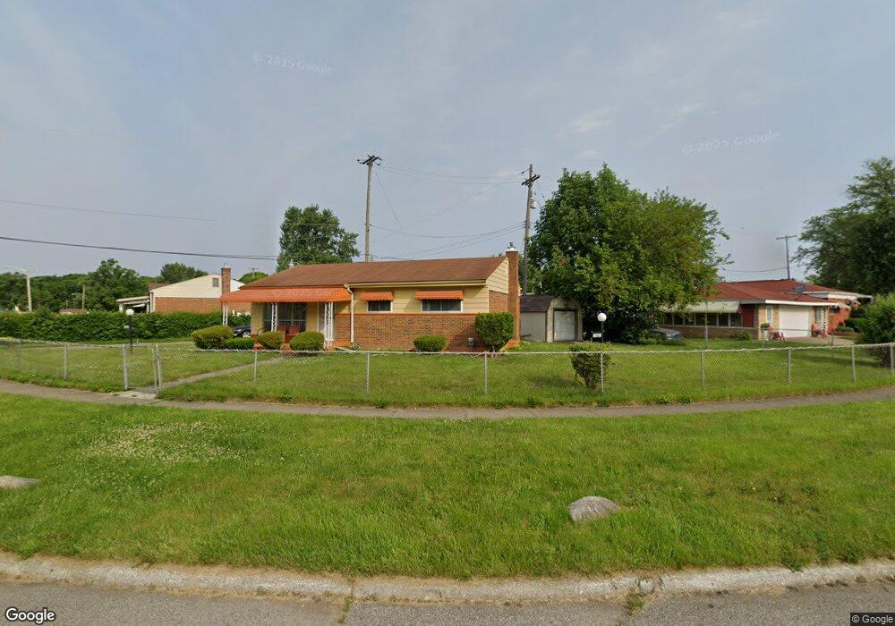
1720 W Hobson Ave Flint, MI 48504
Bel-Aire Woods NeighborhoodEstimated Value: $52,000 - $65,000
3
Beds
1
Bath
931
Sq Ft
$62/Sq Ft
Est. Value
About This Home
This home is located at 1720 W Hobson Ave, Flint, MI 48504 and is currently estimated at $57,317, approximately $61 per square foot. 1720 W Hobson Ave is a home located in Genesee County with nearby schools including Brownell STEM Academy, The New Standard Academy, and Eagle's Nest Academy.
Ownership History
Date
Name
Owned For
Owner Type
Purchase Details
Closed on
Sep 3, 2024
Sold by
Houston Karen
Bought by
Houston Kenneth
Current Estimated Value
Purchase Details
Closed on
Mar 4, 2020
Sold by
Houston Darnell
Bought by
Houston Karen
Purchase Details
Closed on
Mar 28, 2007
Sold by
Marks Mary E and Marks Robert
Bought by
Houston Darnell
Create a Home Valuation Report for This Property
The Home Valuation Report is an in-depth analysis detailing your home's value as well as a comparison with similar homes in the area
Home Values in the Area
Average Home Value in this Area
Purchase History
| Date | Buyer | Sale Price | Title Company |
|---|---|---|---|
| Houston Kenneth | -- | None Listed On Document | |
| Houston Karen | -- | None Available | |
| Houston Darnell | $30,000 | Guaranty Title Company |
Source: Public Records
Tax History Compared to Growth
Tax History
| Year | Tax Paid | Tax Assessment Tax Assessment Total Assessment is a certain percentage of the fair market value that is determined by local assessors to be the total taxable value of land and additions on the property. | Land | Improvement |
|---|---|---|---|---|
| 2025 | $1,069 | $16,900 | $0 | $0 |
| 2024 | $991 | $17,000 | $0 | $0 |
| 2023 | $970 | $14,100 | $0 | $0 |
| 2022 | $0 | $10,200 | $0 | $0 |
| 2021 | $1,013 | $10,300 | $0 | $0 |
| 2020 | $808 | $10,300 | $0 | $0 |
| 2019 | $794 | $8,100 | $0 | $0 |
| 2018 | $843 | $8,900 | $0 | $0 |
| 2017 | $981 | $0 | $0 | $0 |
| 2016 | $974 | $0 | $0 | $0 |
| 2015 | -- | $0 | $0 | $0 |
| 2014 | -- | $0 | $0 | $0 |
| 2012 | -- | $14,900 | $0 | $0 |
Source: Public Records
Map
Nearby Homes
- 1709 W Home Ave
- 1625 Barbara Dr
- 1605 Barbara Dr
- 5806 Marlowe Dr
- 5620 Marlowe Dr
- 5616 Griggs Dr
- 2017 Chateau Dr
- 1902 Marlowe Dr
- 1720 Marlowe Dr
- 6414 Valorie Ln
- 1816 Russet Place
- 5302 Susan St
- 6814 Colonial Dr
- 5106 Cloverlawn Dr
- 1621 Shamrock Ln
- 5610 Baldwin Blvd
- 6902 Sally Ct
- 5318 Baldwin Blvd
- 6914 Daryll Dr
- 1913 Cherrylawn Dr
- 1724 W Hobson Ave
- 1701 W Home Ave
- 1705 W Home Ave
- 1728 W Hobson Ave
- 1707 W Hobson Ave
- 1711 W Hobson Ave
- 5920 Leslie Dr
- 1721 W Hobson Ave
- 1732 W Hobson Ave
- 1725 W Hobson Ave
- 1713 W Home Ave
- 1615 W Home Ave
- 5914 Leslie Dr
- 1729 W Hobson Ave
- 1736 W Hobson Ave
- 5907 Leslie Dr
- 1801 W Home Ave
- 1611 W Home Ave
- 5908 Leslie Dr
- 6001 Fleming Rd