17201 El Capone Way Beaverdam, VA 23015
Estimated Value: $500,000 - $544,000
3
Beds
2
Baths
2,038
Sq Ft
$255/Sq Ft
Est. Value
About This Home
This home is located at 17201 El Capone Way, Beaverdam, VA 23015 and is currently estimated at $520,420, approximately $255 per square foot. 17201 El Capone Way is a home located in Hanover County with nearby schools including Beaverdam Elementary School, Liberty Middle School, and Patrick Henry High School.
Ownership History
Date
Name
Owned For
Owner Type
Purchase Details
Closed on
Mar 22, 2022
Sold by
Vaughan Nancy L
Bought by
Richlie Robin
Current Estimated Value
Purchase Details
Closed on
Mar 2, 2004
Sold by
Benton Donald
Bought by
Vaughan Edward
Create a Home Valuation Report for This Property
The Home Valuation Report is an in-depth analysis detailing your home's value as well as a comparison with similar homes in the area
Home Values in the Area
Average Home Value in this Area
Purchase History
| Date | Buyer | Sale Price | Title Company |
|---|---|---|---|
| Richlie Robin | $400,000 | Fidelity National Title | |
| Vaughan Edward | $60,000 | -- |
Source: Public Records
Tax History Compared to Growth
Tax History
| Year | Tax Paid | Tax Assessment Tax Assessment Total Assessment is a certain percentage of the fair market value that is determined by local assessors to be the total taxable value of land and additions on the property. | Land | Improvement |
|---|---|---|---|---|
| 2025 | $3,434 | $423,900 | $92,100 | $331,800 |
| 2024 | $3,434 | $423,900 | $92,100 | $331,800 |
| 2023 | $3,135 | $407,100 | $90,800 | $316,300 |
| 2022 | $2,811 | $364,000 | $72,800 | $291,200 |
| 2021 | $2,811 | $315,600 | $64,700 | $250,900 |
| 2020 | $2,247 | $315,600 | $64,700 | $250,900 |
| 2019 | $2,247 | $315,600 | $64,700 | $250,900 |
| 2018 | $2,247 | $277,400 | $64,400 | $213,000 |
| 2017 | $2,247 | $277,400 | $64,400 | $213,000 |
| 2016 | $2,074 | $256,000 | $61,400 | $194,600 |
| 2015 | $2,074 | $256,000 | $61,400 | $194,600 |
| 2014 | $2,074 | $256,000 | $61,400 | $194,600 |
Source: Public Records
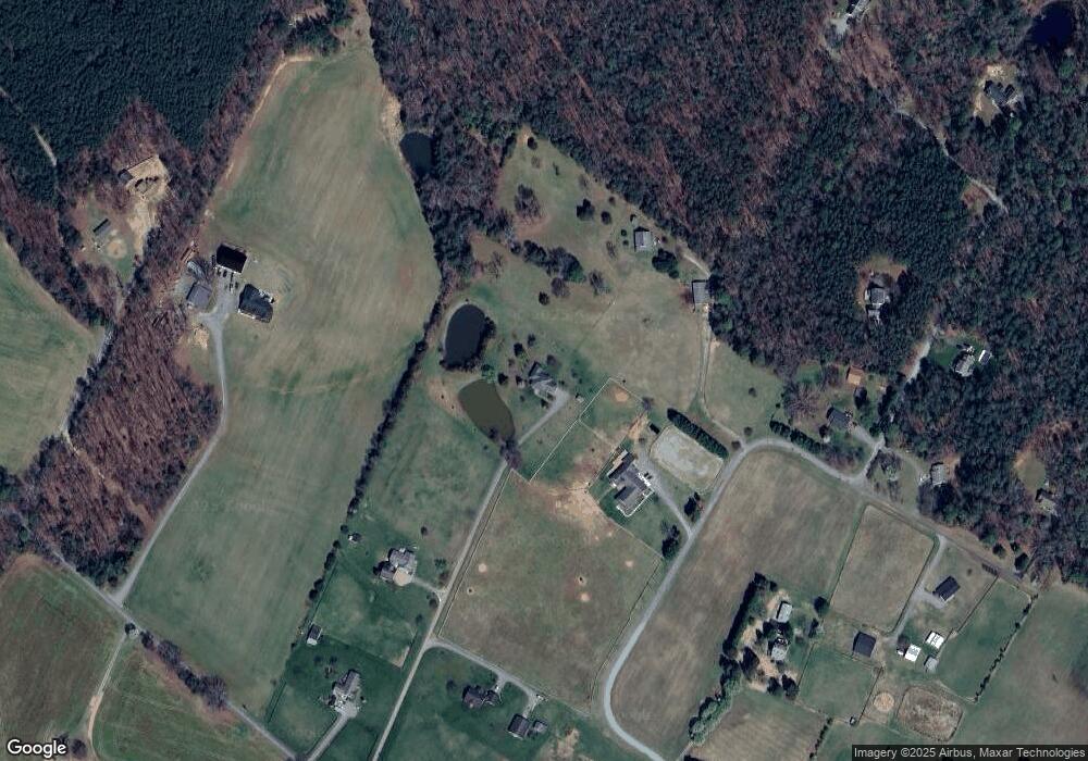
Map
Nearby Homes
- 17133 Katy Ln
- 12434 New Market Mill Rd
- 16349 Reed Town Ln
- 18001 Narrow Path Trail
- 0 Narrow Path Trail
- 16361 Little River Dr
- 12262 Welling Hall Rd
- 17471 Hewlett Rd
- 16889 Watchman Way
- 16884 Watchman Way
- 16877 Watchman Way
- 16850 Sheppards Fold Way
- 16860 Sheppards Fold Way
- Roanoke Plan at Sheppards Fold
- The Jemma Plan at Sheppards Fold
- Colfax Plan at Sheppards Fold
- Davidson Plan at Sheppards Fold
- The Pennington Plan at Sheppards Fold
- The Cambridge Plan at Sheppards Fold
- The Elliott Plan at Sheppards Fold
- 17097 Whitehouse Farm Dr
- 17187 El Capone Way
- 17115 Whitehouse Farm Dr
- 17143 Whitehouse Farm Dr
- 17176 El Capone Way
- 17215 Burchett Ln
- 13354 Old Ridge Rd
- 13360 Old Ridge Rd
- 17094 Whitehouse Farm Dr
- 17151 Whitehouse Farm Dr
- 17081 Whitehouse Farm Dr
- 17158 Whitehouse Farm Dr
- 17214 Burchett Ln
- 13386 Old Ridge Rd
- 13390 Old Ridge Rd
- 17088 Whitehouse Farm Dr
- 17223 Burchett Ln
- 17159 Whitehouse Farm Dr
- 17231 Burchett Ln
- 17171 Whitehouse Farm Dr