17207 State Line Rd Lowell, IN 46356
West Creek NeighborhoodEstimated Value: $596,000 - $753,256
2
Beds
2
Baths
2,240
Sq Ft
$298/Sq Ft
Est. Value
About This Home
This home is located at 17207 State Line Rd, Lowell, IN 46356 and is currently estimated at $667,752, approximately $298 per square foot. 17207 State Line Rd is a home located in Lake County with nearby schools including Lowell Middle School and Lowell Senior High School.
Ownership History
Date
Name
Owned For
Owner Type
Purchase Details
Closed on
Apr 4, 2016
Sold by
Lukasik Steve R and Lukasik Janet L
Bought by
Lukasik Stephen R and Lukasik Janet L
Current Estimated Value
Purchase Details
Closed on
Nov 24, 2010
Sold by
Lukasik Steve R and Lukasik Janet L
Bought by
Lukasik Steve R and Lukasik Janet L
Purchase Details
Closed on
Aug 14, 2008
Sold by
Lukasik Stanley
Bought by
Lukasik Steve R and Lukasik Janet L
Create a Home Valuation Report for This Property
The Home Valuation Report is an in-depth analysis detailing your home's value as well as a comparison with similar homes in the area
Home Values in the Area
Average Home Value in this Area
Purchase History
| Date | Buyer | Sale Price | Title Company |
|---|---|---|---|
| Lukasik Stephen R | -- | None Available | |
| Lukasik Steve R | -- | None Available | |
| Lukasik Steve R | -- | Chicago Title Insurance Co |
Source: Public Records
Tax History Compared to Growth
Tax History
| Year | Tax Paid | Tax Assessment Tax Assessment Total Assessment is a certain percentage of the fair market value that is determined by local assessors to be the total taxable value of land and additions on the property. | Land | Improvement |
|---|---|---|---|---|
| 2024 | $9,914 | $542,300 | $172,000 | $370,300 |
| 2023 | $5,568 | $526,200 | $153,300 | $372,900 |
| 2022 | $5,568 | $501,200 | $133,700 | $367,500 |
| 2021 | $4,613 | $435,200 | $102,500 | $332,700 |
| 2020 | $4,344 | $423,600 | $102,000 | $321,600 |
| 2019 | $4,631 | $425,000 | $115,800 | $309,200 |
| 2018 | $4,620 | $422,700 | $118,300 | $304,400 |
| 2017 | $5,069 | $414,300 | $130,000 | $284,300 |
| 2016 | $5,220 | $438,400 | $135,400 | $303,000 |
| 2014 | $4,825 | $412,600 | $139,900 | $272,700 |
| 2013 | $4,670 | $389,000 | $125,500 | $263,500 |
Source: Public Records
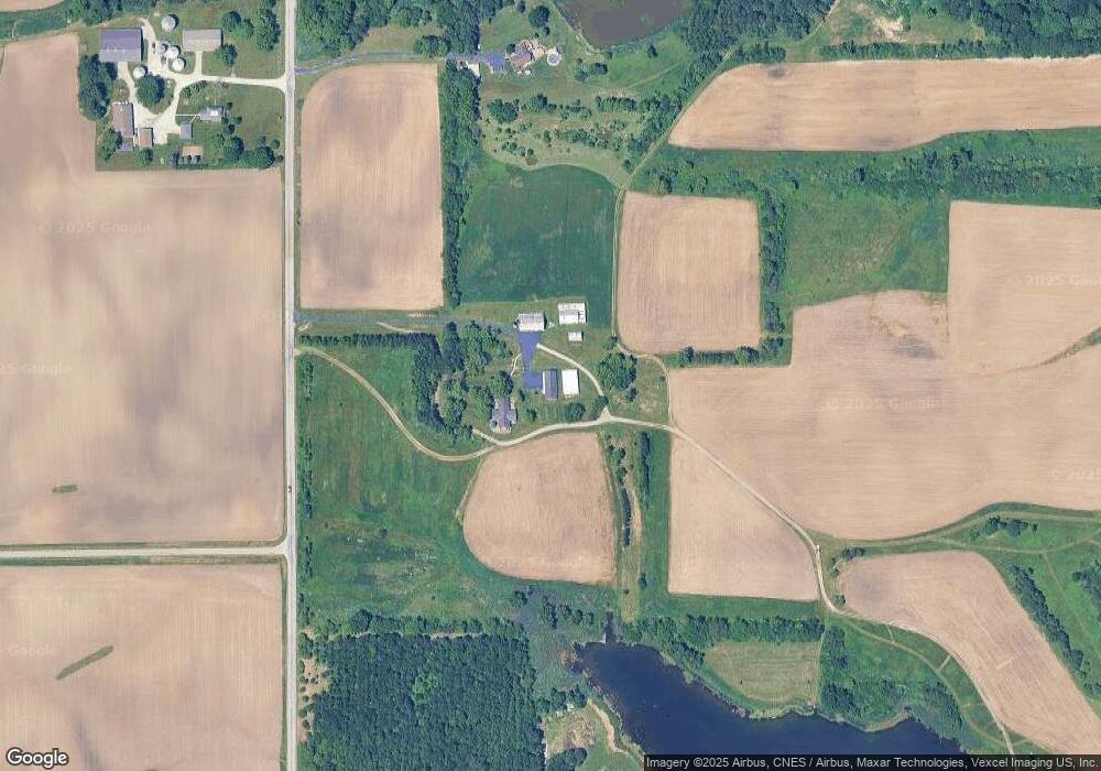
Map
Nearby Homes
- 13199 W 169th Ave
- 13351 W 181st Ave
- 12610 W 162nd Ave
- 14299 W 153rd Ln
- 12312 W 157th Ave
- 10210 N 16750e Rd
- 15507 Magoun St Unit 10
- 14664 Sheffield Ave
- 12750 W 151st Ave
- 29153 S Klemme Rd
- 16280 Parrish Ave
- 615 Debra Kay Dr
- 872 Valley View Dr
- 688 Village Pkwy
- 11525 W 143rd Ave
- The Morgan Plan at Sierra Ridge
- The Brianna Lynn Plan at Sierra Ridge
- The Bristol Plan at Sierra Ridge
- The Olivia Plan at Sierra Ridge
- The Kinkaid Plan at Sierra Ridge
- 17373 State Line Rd
- 32112 S State Line Rd
- 32628 S State Line Rd
- 17503 State Line Rd
- 15547 W 169th Ave
- 15757 W 169th Ave Unit 10
- 15409 W 169th Ave
- 15622 W 169th Ave
- 15313 W 169th Ave
- 17609 State Line Rd
- 31820 S State Line Rd
- 3428 E County Line Rd
- 31800 S State Line Rd
- 3104 E Delite Inn Rd
- 3109 E Delite Inn Rd
- 16732 Sheffield Ave
- 16775 Sheffield Ave
- 31708 S State Line Rd
- 17824 E 12000n Rd
- 16717 Sheffield Ave Unit 10