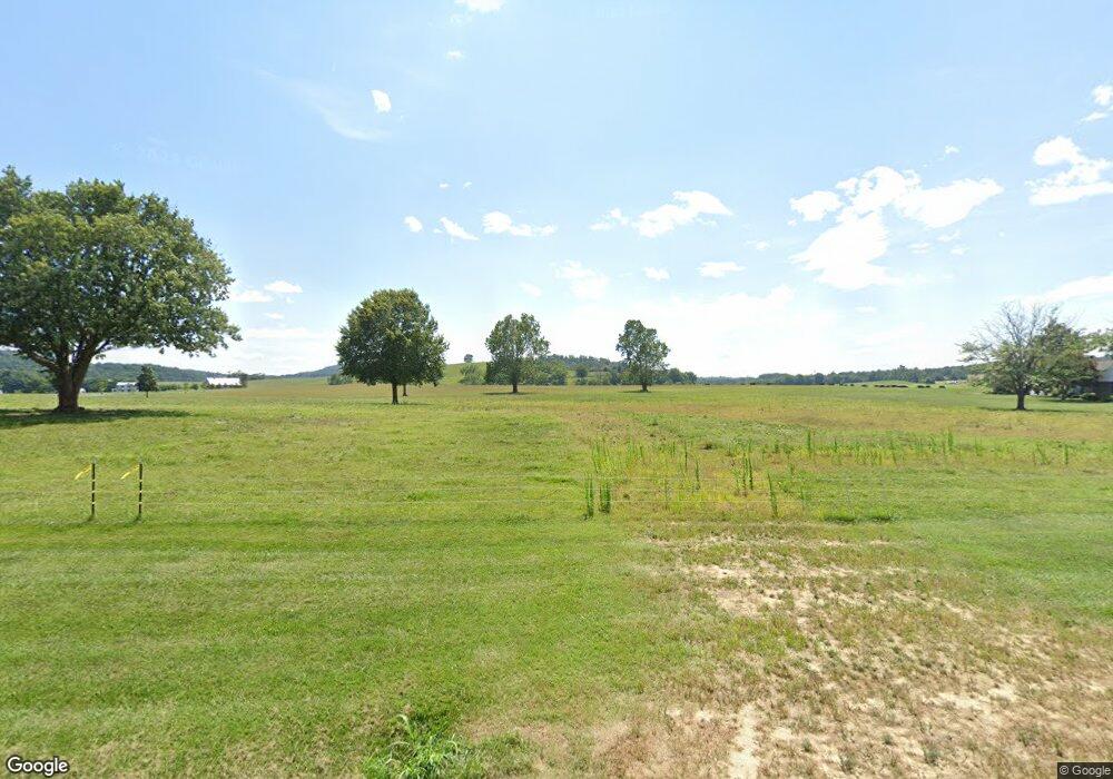
1721 Airport Rd Bridgewater, VA 22812
Estimated Value: $107,000 - $258,000
--
Bed
1
Bath
--
Sq Ft
2.33
Acres
About This Home
This home is located at 1721 Airport Rd, Bridgewater, VA 22812 and is currently estimated at $182,500. 1721 Airport Rd is a home located in Rockingham County with nearby schools including John W. Wayland Elementary School, Wilbur S. Pence Middle School, and Turner Ashby High School.
Ownership History
Date
Name
Owned For
Owner Type
Purchase Details
Closed on
Apr 12, 2016
Sold by
Stoltzfus Michael A
Bought by
Stoltzfus Michael A and Stoltzfus Melissa S
Current Estimated Value
Purchase Details
Closed on
Aug 20, 2010
Sold by
Nesselrodt William and Nesselrodt Rachael
Bought by
Knoll Meadow Ii Llc
Purchase Details
Closed on
May 20, 2007
Sold by
Nesselrodt Orville L
Bought by
Nesselrodt William and Nesselrodt Rachael
Home Financials for this Owner
Home Financials are based on the most recent Mortgage that was taken out on this home.
Original Mortgage
$135,000
Interest Rate
9.9%
Mortgage Type
Adjustable Rate Mortgage/ARM
Create a Home Valuation Report for This Property
The Home Valuation Report is an in-depth analysis detailing your home's value as well as a comparison with similar homes in the area
Home Values in the Area
Average Home Value in this Area
Purchase History
| Date | Buyer | Sale Price | Title Company |
|---|---|---|---|
| Stoltzfus Michael A | -- | None Available | |
| Stoltzfus Michael A | -- | None Available | |
| Knoll Meadow Ii Llc | -- | Heritage Title | |
| Nesselrodt William | -- | Stewart Title - Shenandoah V |
Source: Public Records
Mortgage History
| Date | Status | Borrower | Loan Amount |
|---|---|---|---|
| Previous Owner | Nesselrodt William | $135,000 |
Source: Public Records
Tax History Compared to Growth
Tax History
| Year | Tax Paid | Tax Assessment Tax Assessment Total Assessment is a certain percentage of the fair market value that is determined by local assessors to be the total taxable value of land and additions on the property. | Land | Improvement |
|---|---|---|---|---|
| 2025 | $328 | $48,300 | $48,300 | $0 |
| 2024 | $328 | $48,300 | $48,300 | $0 |
| 2023 | $328 | $48,300 | $48,300 | $0 |
| 2022 | $328 | $48,300 | $48,300 | $0 |
| 2021 | $357 | $48,300 | $48,300 | $0 |
| 2020 | $357 | $48,300 | $48,300 | $0 |
| 2019 | $357 | $48,300 | $48,300 | $0 |
| 2018 | $357 | $48,300 | $48,300 | $0 |
| 2017 | $357 | $48,300 | $48,300 | $0 |
| 2016 | $338 | $48,300 | $48,300 | $0 |
| 2015 | $324 | $48,300 | $48,300 | $0 |
| 2014 | $309 | $48,300 | $48,300 | $0 |
Source: Public Records
Map
Nearby Homes
- 2769 Airport Rd
- 107 Wheatland Dr
- 1529 Mount Crawford Ave
- 30 Field Ct
- 1 Barnyard Cir
- 5 Barnyard Cir
- 9 Barnyard Cir
- 13 Barnyard Cir
- 25 Barnyard Cir
- 111 S Main St
- 104 W College St
- 120 Old Bridgewater Rd
- 3390 Spring Creek Rd
- 113 S Main St
- 102 Bridgeport Dr
- 103 Holly Hill Dr
- 302 N River Rd
- 100 Sunbright Dr
- 259 Dylan Cir
- 400 Bruce St
- 1673 Airport Rd
- 1730 Airport Rd
- 1793 Airport Rd
- 1714 Airport Rd
- 1684 Airport Rd
- 7155 Waystation Rd
- 1622 Airport Rd
- 7151 Waystation Rd
- 7135 Waystation Rd
- 7085 Waystation Rd
- 1915 Airport Rd
- 7069 Waystation Rd
- 7038 Waystation Rd
- 1852 Airport Rd
- 1985 Airport Rd
- 1675 Airport Rd
- 611 E Riverside Dr
- 2033 Airport Rd
- 1402 Airport Rd
- 610 E College St