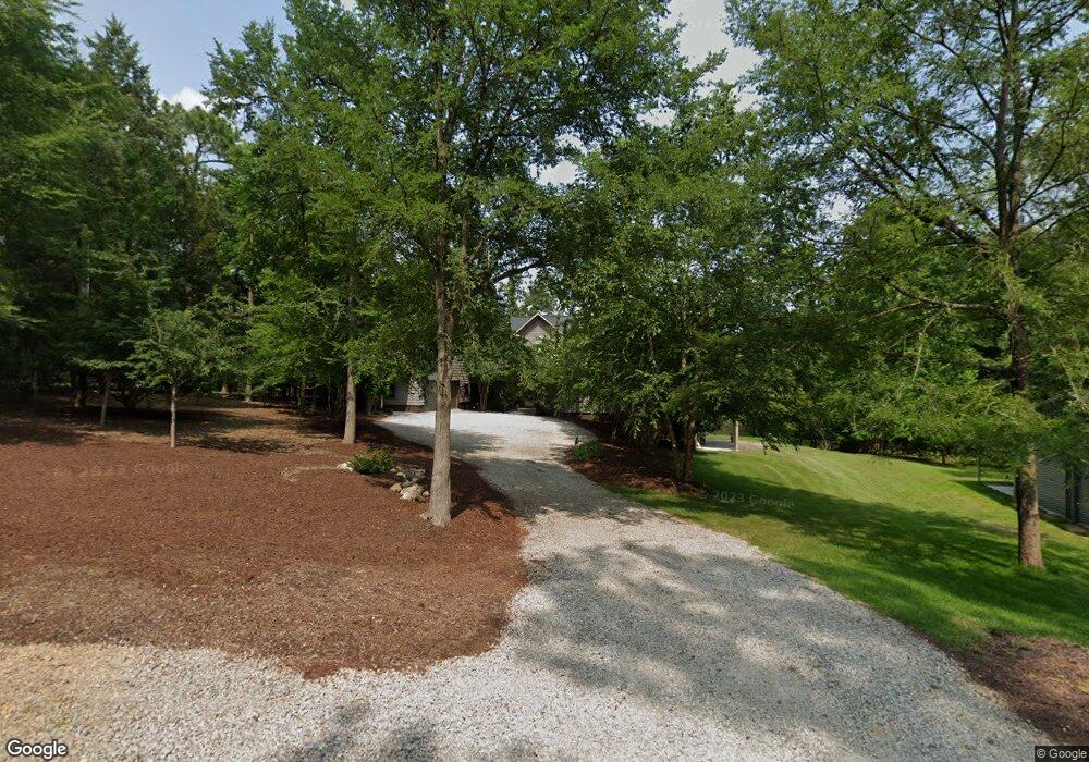
1721 Amanda Dr Gilbert, SC 29054
Estimated Value: $987,000 - $1,068,010
1
Bed
1
Bath
3,983
Sq Ft
$262/Sq Ft
Est. Value
About This Home
This home is located at 1721 Amanda Dr, Gilbert, SC 29054 and is currently estimated at $1,043,753, approximately $262 per square foot. 1721 Amanda Dr is a home located in Lexington County with nearby schools including Centerville Elementary School, Gilbert Middle School, and Gilbert High School.
Ownership History
Date
Name
Owned For
Owner Type
Purchase Details
Closed on
Mar 15, 2022
Sold by
Brewster Allison B
Bought by
Allison B Brewster Living Trust and William A Brewster Living Trust
Current Estimated Value
Purchase Details
Closed on
Sep 22, 2011
Sold by
The Cabin On Lake Murray Llc
Bought by
Brester Allison B and Brewster William A
Purchase Details
Closed on
Oct 19, 2010
Sold by
Sauls Joel A and Sauls Gina A
Bought by
The Cabin On Lake Murray Llc
Home Financials for this Owner
Home Financials are based on the most recent Mortgage that was taken out on this home.
Original Mortgage
$301,750
Interest Rate
4.38%
Mortgage Type
Future Advance Clause Open End Mortgage
Purchase Details
Closed on
Feb 24, 2006
Sold by
Kenney Shawn P
Bought by
Sauls Joel A and Sauls Gina A
Purchase Details
Closed on
Nov 16, 1999
Sold by
Watson Marcy W
Bought by
Kenney Shawn P
Create a Home Valuation Report for This Property
The Home Valuation Report is an in-depth analysis detailing your home's value as well as a comparison with similar homes in the area
Home Values in the Area
Average Home Value in this Area
Purchase History
| Date | Buyer | Sale Price | Title Company |
|---|---|---|---|
| Allison B Brewster Living Trust | -- | None Listed On Document | |
| Brester Allison B | $350,000 | -- | |
| The Cabin On Lake Murray Llc | -- | -- | |
| Sauls Joel A | $350,000 | None Available | |
| Kenney Shawn P | $172,000 | -- |
Source: Public Records
Mortgage History
| Date | Status | Borrower | Loan Amount |
|---|---|---|---|
| Previous Owner | The Cabin On Lake Murray Llc | $301,750 |
Source: Public Records
Tax History
| Year | Tax Paid | Tax Assessment Tax Assessment Total Assessment is a certain percentage of the fair market value that is determined by local assessors to be the total taxable value of land and additions on the property. | Land | Improvement |
|---|---|---|---|---|
| 2024 | -- | $28,489 | $11,400 | $17,089 |
| 2023 | $3,831 | $28,489 | $11,400 | $17,089 |
| 2022 | $3,830 | $28,489 | $11,400 | $17,089 |
| 2020 | $3,937 | $28,489 | $11,400 | $17,089 |
| 2019 | $3,744 | $26,784 | $10,640 | $16,144 |
| 2018 | $3,676 | $26,784 | $10,640 | $16,144 |
| 2017 | $3,558 | $26,784 | $10,640 | $16,144 |
| 2016 | $3,536 | $26,782 | $10,640 | $16,142 |
| 2014 | $1,786 | $12,727 | $10,880 | $1,847 |
| 2013 | -- | $19,090 | $16,320 | $2,770 |
Source: Public Records
Map
Nearby Homes
- 180 Lillian St
- 1633 Barracks Dr
- 1459 Bombing Range Rd
- 1233 Shull Island Rd
- 1148 Shull Island Rd
- 417 Dot Ct
- 157 Collins Cove Dr
- 102 Royal Ct
- 604 Wisteria Key Place
- 115 Pointe Overlook Dr
- 249 Pointe Overlook Dr
- 120 Magnolia Key Dr
- 404 Jasmine Key Ln
- 1148 Indian Summer Point
- 506 Timberlake Dr
- 117 Bay Pointe Dr
- 131 W Circle Dr
- 0 Counts Ferry Rd Unit LOT 5
- 0 Counts Ferry Rd Unit LOT 6
- 0 Counts Ferry Rd Unit LOT 4
- 1808 Shull Ave
- 1808 Harmon St
- 1812 Harmon St
- 1820 Shull Ave
- 1824 Harmon St
- 1825 Harmon St
- 1803 Shull Ave
- 1811 Shull Ave
- 1902 Amick Dr
- 1722 Harmon St
- 112 Lillian St
- 1831 Harmon St
- 1830 Harmon St
- 1706 Harmon St
- 1829 Shull Ave
- 1912 Amick Dr
- 134 Lillian St
- 1680 Shull Ave
- 0 Shull Ave Unit 528845
- 0 Shull Ave Unit 2/2A
Your Personal Tour Guide
Ask me questions while you tour the home.