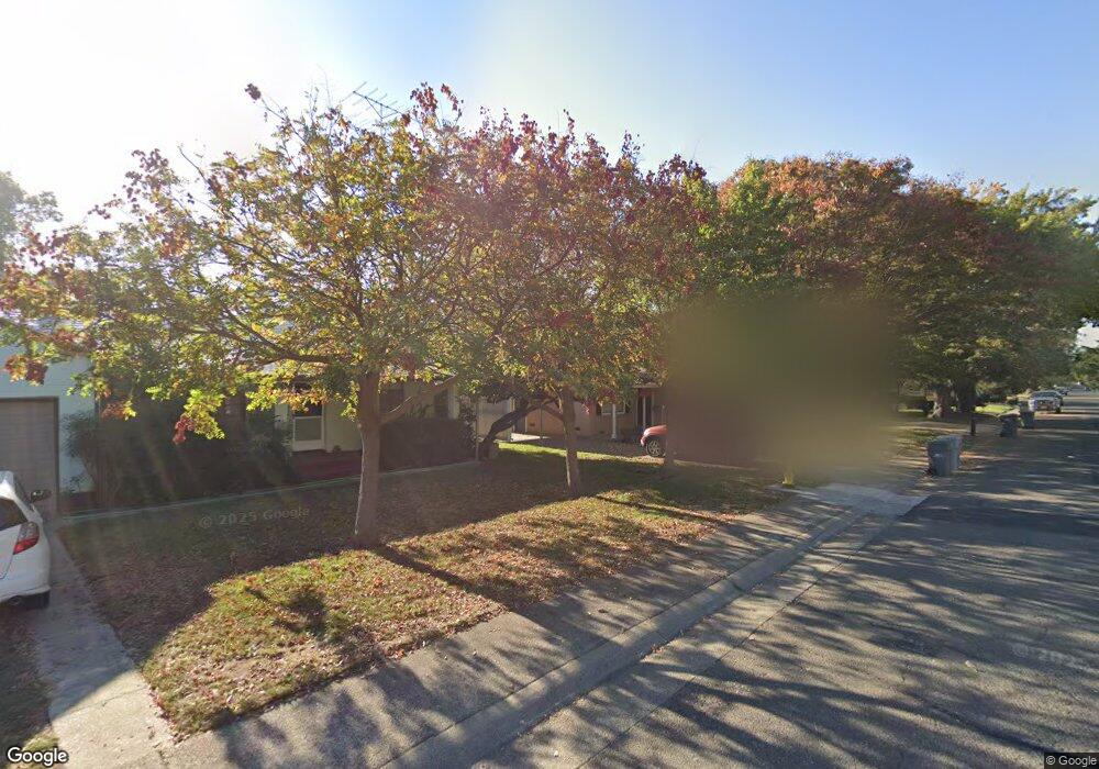
1721 Maryland Ave West Sacramento, CA 95691
Old West Sacramento NeighborhoodEstimated Value: $310,000 - $456,000
2
Beds
1
Bath
1,360
Sq Ft
$306/Sq Ft
Est. Value
About This Home
This home is located at 1721 Maryland Ave, West Sacramento, CA 95691 and is currently estimated at $416,502, approximately $306 per square foot. 1721 Maryland Ave is a home located in Yolo County with nearby schools including Westmore Oaks Elementary School, River City High, and Sacramento Valley Charter School.
Ownership History
Date
Name
Owned For
Owner Type
Purchase Details
Closed on
Sep 30, 2021
Sold by
Alice Machado Marie
Bought by
Marie A Machado Revocable Trust
Current Estimated Value
Purchase Details
Closed on
Sep 29, 2010
Sold by
Carter Carter Roger W Roger W and Carter Ernest R
Bought by
Tritt Robert E and Tritt Lisa R
Home Financials for this Owner
Home Financials are based on the most recent Mortgage that was taken out on this home.
Original Mortgage
$157,874
Interest Rate
4.5%
Mortgage Type
FHA
Create a Home Valuation Report for This Property
The Home Valuation Report is an in-depth analysis detailing your home's value as well as a comparison with similar homes in the area
Home Values in the Area
Average Home Value in this Area
Purchase History
| Date | Buyer | Sale Price | Title Company |
|---|---|---|---|
| Marie A Machado Revocable Trust | -- | -- | |
| Tritt Robert E | $160,000 | Placer Title Company |
Source: Public Records
Mortgage History
| Date | Status | Borrower | Loan Amount |
|---|---|---|---|
| Previous Owner | Tritt Robert E | $157,874 |
Source: Public Records
Tax History Compared to Growth
Tax History
| Year | Tax Paid | Tax Assessment Tax Assessment Total Assessment is a certain percentage of the fair market value that is determined by local assessors to be the total taxable value of land and additions on the property. | Land | Improvement |
|---|---|---|---|---|
| 2025 | $2,483 | $204,974 | $64,052 | $140,922 |
| 2023 | $2,483 | $197,016 | $61,566 | $135,450 |
| 2022 | $2,317 | $193,154 | $60,359 | $132,795 |
| 2021 | $2,299 | $189,368 | $59,176 | $130,192 |
| 2020 | $2,191 | $187,428 | $58,570 | $128,858 |
| 2019 | $2,166 | $183,754 | $57,422 | $126,332 |
| 2018 | $2,126 | $180,152 | $56,297 | $123,855 |
| 2017 | $2,105 | $176,621 | $55,194 | $121,427 |
| 2016 | $2,075 | $173,159 | $54,112 | $119,047 |
| 2015 | $1,923 | $170,559 | $53,300 | $117,259 |
| 2014 | $1,923 | $167,219 | $52,256 | $114,963 |
Source: Public Records
Map
Nearby Homes
- 1826 Maryland Ave
- 1916 Park Blvd
- 1911 Vermont Ave
- 1549 Virginia Ave
- 1043 Park Blvd
- 1021 Sycamore Ave
- 1655 Fathom Place
- 1925 Proctor Ave
- 1908 Proctor Ave
- 1925 Willow Ave
- 2321 Kinsington St
- 1584 Gateway Dr
- 830 Pecan St
- 2000 W Capitol Ave Unit 125
- 1003 Central St
- 839 Copper Ln
- 785 Dolomite Ct
- 839 Graphite Ln
- 1832 Rockrose Rd
- 175 Log Pond Ln
- 1725 Maryland Ave
- 1717 Maryland Ave
- 1720 Delaware Ave
- 1724 Delaware Ave
- 1712 Delaware Ave
- 1733 Maryland Ave
- 1707 Maryland Ave
- 1732 Delaware Ave
- 1720 Maryland Ave
- 1708 Delaware Ave
- 1724 Maryland Ave
- 1710 Maryland Ave
- 1735 Maryland Ave
- 1732 Maryland Ave
- 1736 Delaware Ave
- 1701 Maryland Ave
- 501 17th St
- 1736 Maryland Ave
- 601 17th St
- 1721 Delaware Ave