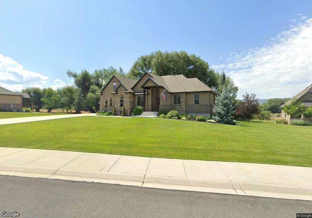
1722 E 70 S Unit 42 Heber City, UT 84032
Estimated Value: $1,129,000 - $1,429,049
3
Beds
3
Baths
4,252
Sq Ft
$291/Sq Ft
Est. Value
About This Home
This home is located at 1722 E 70 S Unit 42, Heber City, UT 84032 and is currently estimated at $1,238,512, approximately $291 per square foot. 1722 E 70 S Unit 42 is a home located in Wasatch County.
Ownership History
Date
Name
Owned For
Owner Type
Purchase Details
Closed on
May 3, 2023
Sold by
Starr Bradley Allan and Star Roberta
Bought by
Br Starr Revocable Trust
Current Estimated Value
Purchase Details
Closed on
Feb 8, 2021
Sold by
Starr Bradley A and Starr Roberta L
Bought by
Bradley Allan Starr And Roberta Lee Starr Rev
Purchase Details
Closed on
Oct 22, 2015
Sold by
Haber Valley Propertis Llc
Bought by
Starr Bradley A and Starr Roberta L
Home Financials for this Owner
Home Financials are based on the most recent Mortgage that was taken out on this home.
Original Mortgage
$294,000
Interest Rate
3.81%
Mortgage Type
New Conventional
Purchase Details
Closed on
Jan 6, 2015
Sold by
Silverado Partners Llc
Bought by
Heber Valley Properties Llc
Create a Home Valuation Report for This Property
The Home Valuation Report is an in-depth analysis detailing your home's value as well as a comparison with similar homes in the area
Home Values in the Area
Average Home Value in this Area
Purchase History
| Date | Buyer | Sale Price | Title Company |
|---|---|---|---|
| Br Starr Revocable Trust | -- | None Listed On Document | |
| Bradley Allan Starr And Roberta Lee Starr Rev | -- | None Listed On Document | |
| Starr Bradley A | -- | First American | |
| Heber Valley Properties Llc | -- | Legends Title Llc |
Source: Public Records
Mortgage History
| Date | Status | Borrower | Loan Amount |
|---|---|---|---|
| Previous Owner | Starr Bradley A | $294,000 |
Source: Public Records
Tax History Compared to Growth
Tax History
| Year | Tax Paid | Tax Assessment Tax Assessment Total Assessment is a certain percentage of the fair market value that is determined by local assessors to be the total taxable value of land and additions on the property. | Land | Improvement |
|---|---|---|---|---|
| 2025 | $1,035 | $1,159,675 | $275,000 | $884,675 |
| 2024 | $1,035 | $1,159,675 | $275,000 | $884,675 |
| 2023 | $1,035 | $1,024,000 | $150,000 | $874,000 |
| 2022 | $5,250 | $1,024,000 | $150,000 | $874,000 |
| 2021 | $4,611 | $716,440 | $150,000 | $566,440 |
| 2020 | $4,423 | $666,440 | $100,000 | $566,440 |
| 2019 | $4,123 | $366,542 | $0 | $0 |
| 2018 | $3,464 | $307,965 | $0 | $0 |
| 2017 | $3,460 | $559,937 | $0 | $0 |
| 2016 | $6,417 | $559,937 | $0 | $0 |
| 2015 | $1,079 | $100,000 | $100,000 | $0 |
Source: Public Records
Map
Nearby Homes
- 1895 E 70 S
- 113 N Haystack Mountain Dr Unit 2
- 113 N Haystack Mountain Dr
- 220 S 1970 E
- 185 S 1970 E
- 365 S 1750 E
- 158 N Haystack Mountain Dr Unit 13
- 158 N Haystack Mountain Dr
- 201 N Kings Peak Ct Unit CP-23
- 201 N Kings Peak Ct
- Oakmont Traditional Plan at Beaufontaine
- 1707 E Kings Peak Cir
- 1905 E Kings Peak Cir
- 254 N Abajo Peak Way
- 197 Abajo Peak Way Unit 398
- 197 Abajo Peak Way
- 1621 E Abajo Peak Ct
- 2268 N Wildwood Ln Unit 277
- 402 Abajo Peak Way Unit Q1
- 1634 E Abajo Peak Cir