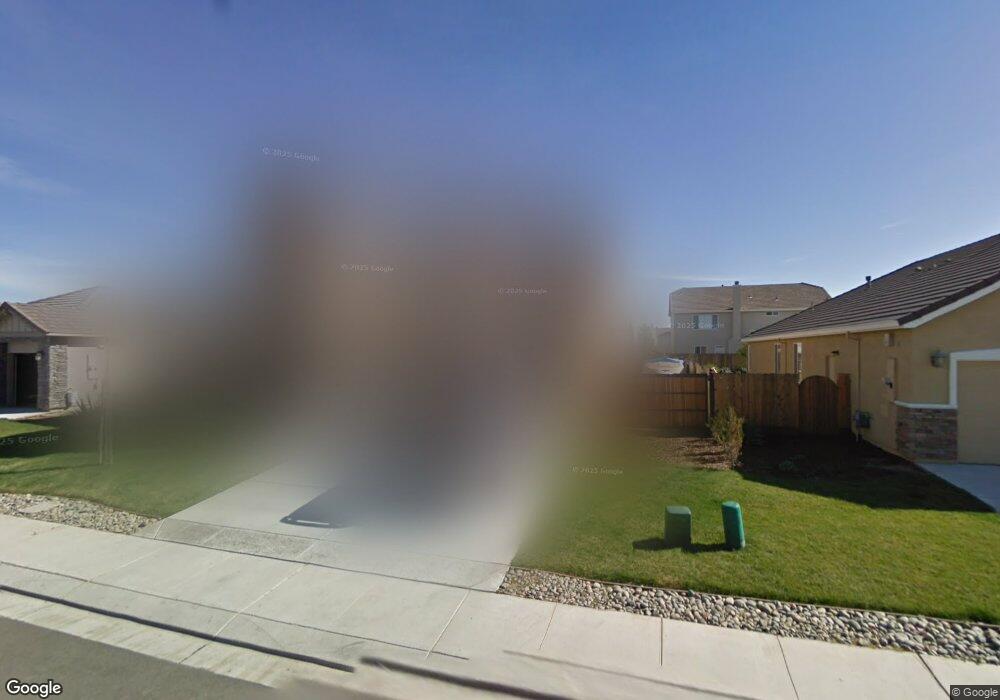
1722 Paola Ln Manteca, CA 95337
Estimated Value: $685,839 - $762,000
5
Beds
3
Baths
2,770
Sq Ft
$262/Sq Ft
Est. Value
About This Home
This home is located at 1722 Paola Ln, Manteca, CA 95337 and is currently estimated at $726,960, approximately $262 per square foot. 1722 Paola Ln is a home located in San Joaquin County with nearby schools including Walter Woodward Elementary School, Manteca High School, and St. Anthony's Catholic School.
Ownership History
Date
Name
Owned For
Owner Type
Purchase Details
Closed on
Aug 2, 2019
Sold by
Cook Neal and Cook Neal
Bought by
Cook Neal
Current Estimated Value
Home Financials for this Owner
Home Financials are based on the most recent Mortgage that was taken out on this home.
Original Mortgage
$393,000
Outstanding Balance
$344,408
Interest Rate
3.73%
Mortgage Type
New Conventional
Estimated Equity
$382,552
Purchase Details
Closed on
Aug 17, 2016
Sold by
Castrejon Matias and Castrejon Melinda
Bought by
Cook Neal
Home Financials for this Owner
Home Financials are based on the most recent Mortgage that was taken out on this home.
Original Mortgage
$413,250
Interest Rate
3.48%
Mortgage Type
New Conventional
Purchase Details
Closed on
Nov 9, 2007
Sold by
Anderson Homes
Bought by
Castrejon Matias and Castrejon Melinda
Home Financials for this Owner
Home Financials are based on the most recent Mortgage that was taken out on this home.
Original Mortgage
$210,000
Interest Rate
6.35%
Mortgage Type
Purchase Money Mortgage
Create a Home Valuation Report for This Property
The Home Valuation Report is an in-depth analysis detailing your home's value as well as a comparison with similar homes in the area
Purchase History
| Date | Buyer | Sale Price | Title Company |
|---|---|---|---|
| Cook Neal | -- | Chicago Title Co Stockton | |
| Cook Neal | $435,000 | Old Republic Title Company | |
| Castrejon Matias | -- | Alliance Title Company |
Source: Public Records
Mortgage History
| Date | Status | Borrower | Loan Amount |
|---|---|---|---|
| Open | Cook Neal | $393,000 | |
| Closed | Cook Neal | $413,250 | |
| Previous Owner | Castrejon Matias | $210,000 |
Source: Public Records
Tax History
| Year | Tax Paid | Tax Assessment Tax Assessment Total Assessment is a certain percentage of the fair market value that is determined by local assessors to be the total taxable value of land and additions on the property. | Land | Improvement |
|---|---|---|---|---|
| 2025 | $6,984 | $504,848 | $176,405 | $328,443 |
| 2024 | $6,826 | $494,950 | $172,947 | $322,003 |
| 2023 | $6,760 | $485,246 | $169,556 | $315,690 |
| 2022 | $6,680 | $475,732 | $166,232 | $309,500 |
| 2021 | $6,622 | $466,405 | $162,973 | $303,432 |
| 2020 | $6,397 | $461,623 | $161,302 | $300,321 |
| 2019 | $6,321 | $452,573 | $158,140 | $294,433 |
| 2018 | $6,234 | $443,700 | $155,040 | $288,660 |
| 2017 | $6,123 | $435,000 | $152,000 | $283,000 |
| 2016 | $5,959 | $421,000 | $116,000 | $305,000 |
| 2014 | $5,251 | $379,000 | $104,000 | $275,000 |
Source: Public Records
Map
Nearby Homes
- 1709 Queensland Ave
- 1502 Churcher Dr
- 390 Munter St
- 1471 Tanoak St
- 1773 Lana Way
- 1047 Lindo Ct
- 1076 Balzo St
- 2043 Derrick Ave
- 1175 Miel St
- 1051 Heartland Dr
- 1091 Alba St
- 2446 Paramount Ln
- 277 Fragrance St
- 1271 Veteran St
- 1807 Birdie Ave
- 2317 Mathar Dr
- 250 Fragrance St
- 475 Quintal Rd
- 2377 Beardsley Ave
- 607 Mono St
- 1710 Paola Ln
- 1721 Queensland Ave
- 1729 Queensland Ave
- 1738 Paola Ln
- 641 Catmint St
- 1737 Queensland Ave
- 1709 Paola Ln
- 1750 Paola Ln
- 1692 Paola Place
- 633 Catmint St
- 642 Catmint St
- 1689 Queensland Ave
- 1756 Paola Ln
- 705 Wynyard Cir
- 714 Grafton St
- 634 Catmint St
- 626 Grafton St
- 1757 Queensland Ave
- 1664 Paola Place
- 635 Grafton St
Your Personal Tour Guide
Ask me questions while you tour the home.