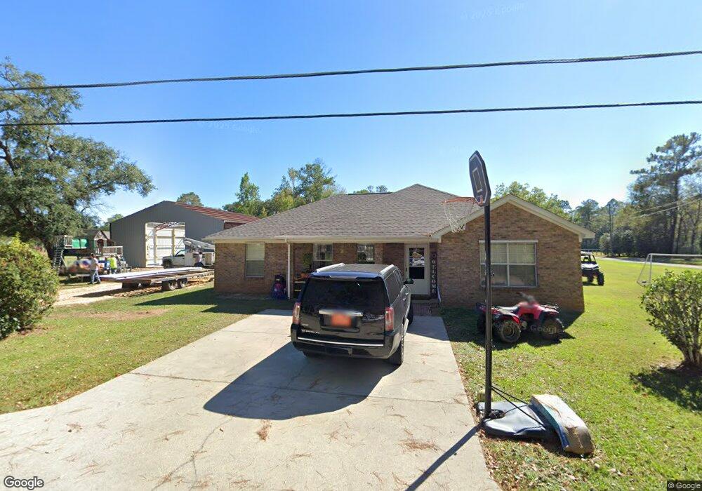
17220 C E Nall Rd Moss Point, MS 39562
Estimated Value: $182,170 - $238,000
Studio
2
Baths
1,547
Sq Ft
$139/Sq Ft
Est. Value
About This Home
This home is located at 17220 C E Nall Rd, Moss Point, MS 39562 and is currently estimated at $214,543, approximately $138 per square foot. 17220 C E Nall Rd is a home located in Jackson County with nearby schools including East Central Lower Elementary School, East Central Upper Elementary School, and East Central Middle School.
Ownership History
Date
Name
Owned For
Owner Type
Purchase Details
Closed on
Aug 18, 2017
Sold by
Parker Riley Wayne
Bought by
Miles Nelda Juanita Parker
Current Estimated Value
Create a Home Valuation Report for This Property
The Home Valuation Report is an in-depth analysis detailing your home's value as well as a comparison with similar homes in the area
Purchase History
| Date | Buyer | Sale Price | Title Company |
|---|---|---|---|
| Miles Nelda Juanita Parker | -- | None Available |
Source: Public Records
Tax History
| Year | Tax Paid | Tax Assessment Tax Assessment Total Assessment is a certain percentage of the fair market value that is determined by local assessors to be the total taxable value of land and additions on the property. | Land | Improvement |
|---|---|---|---|---|
| 2025 | $1,946 | $18,899 | $1,965 | $16,934 |
| 2024 | $1,946 | $9,452 | $1,911 | $7,541 |
| 2023 | $835 | $9,279 | $1,738 | $7,541 |
| 2022 | $1,623 | $13,918 | $0 | $0 |
| 2021 | $1,634 | $14,014 | $0 | $0 |
| 2020 | $1,579 | $13,075 | $2,414 | $10,661 |
| 2019 | $145 | $8,716 | $1,609 | $7,107 |
| 2018 | $150 | $8,728 | $1,609 | $7,119 |
| 2017 | $152 | $8,728 | $1,609 | $7,119 |
| 2016 | $146 | $8,728 | $1,609 | $7,119 |
| 2015 | $83 | $81,980 | $16,090 | $65,890 |
| 2014 | $112 | $8,456 | $1,609 | $6,847 |
| 2013 | $109 | $8,456 | $1,609 | $6,847 |
Source: Public Records
Map
Nearby Homes
- 17209 Red Top Ln
- 3016 Ed Parker Rd
- 19500 Angel Ln
- 19506 Highway 63
- 0 Grafe Homestead Rd Unit 4137349
- 14004 Timber Ridge Dr
- 20700 Cameron Ln
- 13875 Wolf Ridge Rd Unit LotWP001
- 0 Dr Unit 4052148
- 0 River Walk Dr
- 7201 Bentwood Dr
- 26.1 Acres Brinkman Rd E
- Lot 111 River Place
- 0 Perry St
- 7521 Townsite Rd
- 0 R B Dickerson Rd
- 2337 Connors Blvd
- 4432 Lily Patch Ln
- 0 River Bluffs Lot 33 Dr
- 3601 Sandy Bayou Rd
- 17209 Della Roper Rd
- 17322 Della Roper Rd
- 17209 C E Nall Rd
- 17305 Della Roper Rd
- 17201 Della Roper Rd
- 17225 C E Nall Rd
- 17332 Della Roper Rd
- 2700 Pine Hill Rd
- 17311 Highway 63
- 17201 C E Nall Rd
- 17201 E C Nall Rd Rd
- 17331 Della Roper Rd
- 17200 C E Nall Rd
- 2616 Pine Hill Rd
- 17333 Mississippi 63
- 17195 C E Nall Rd
- 17335 Della Roper Rd E
- 17335 Della Roper Rd
- 2701 Pine Hill Rd
- 17312 Highway 63
Your Personal Tour Guide
Ask me questions while you tour the home.