17220 Proper Rd Mount Vernon, OH 43050
Estimated Value: $314,999 - $369,000
2
Beds
2
Baths
2,124
Sq Ft
$157/Sq Ft
Est. Value
About This Home
This home is located at 17220 Proper Rd, Mount Vernon, OH 43050 and is currently estimated at $332,750, approximately $156 per square foot. 17220 Proper Rd is a home located in Knox County with nearby schools including Mount Vernon High School, St. Vincent de Paul School, and Christian Star Academy.
Ownership History
Date
Name
Owned For
Owner Type
Purchase Details
Closed on
Dec 27, 2004
Bought by
Gardner Thomas A
Current Estimated Value
Purchase Details
Closed on
Nov 15, 2004
Sold by
Smarr Pamela R
Bought by
Wells Faro Bank Minnesota
Purchase Details
Closed on
Oct 27, 1999
Sold by
Smarr Sidney A
Bought by
Smarr Pamela R
Purchase Details
Closed on
May 17, 1994
Sold by
Burgess Shirley J
Bought by
Smarr Sidney A
Purchase Details
Closed on
May 11, 1994
Sold by
Burgess Shirley J and Burgess Bruce
Bought by
Burgess Shirley J
Create a Home Valuation Report for This Property
The Home Valuation Report is an in-depth analysis detailing your home's value as well as a comparison with similar homes in the area
Home Values in the Area
Average Home Value in this Area
Purchase History
| Date | Buyer | Sale Price | Title Company |
|---|---|---|---|
| Gardner Thomas A | $50,000 | -- | |
| Wells Faro Bank Minnesota | $77,000 | -- | |
| Smarr Pamela R | -- | -- | |
| Smarr Sidney A | $40,000 | -- | |
| Burgess Shirley J | -- | -- |
Source: Public Records
Tax History Compared to Growth
Tax History
| Year | Tax Paid | Tax Assessment Tax Assessment Total Assessment is a certain percentage of the fair market value that is determined by local assessors to be the total taxable value of land and additions on the property. | Land | Improvement |
|---|---|---|---|---|
| 2024 | $2,990 | $80,080 | $8,060 | $72,020 |
| 2023 | $2,992 | $80,080 | $8,060 | $72,020 |
| 2022 | $3,143 | $66,720 | $6,710 | $60,010 |
| 2021 | $3,143 | $66,720 | $6,710 | $60,010 |
| 2020 | $3,067 | $66,720 | $6,710 | $60,010 |
| 2019 | $2,668 | $53,800 | $7,250 | $46,550 |
| 2018 | $2,672 | $53,800 | $7,250 | $46,550 |
| 2017 | $2,632 | $53,800 | $7,250 | $46,550 |
| 2016 | $2,454 | $49,820 | $6,710 | $43,110 |
| 2015 | $2,463 | $49,820 | $6,710 | $43,110 |
| 2014 | $2,475 | $49,820 | $6,710 | $43,110 |
| 2013 | $2,524 | $49,290 | $6,310 | $42,980 |
Source: Public Records
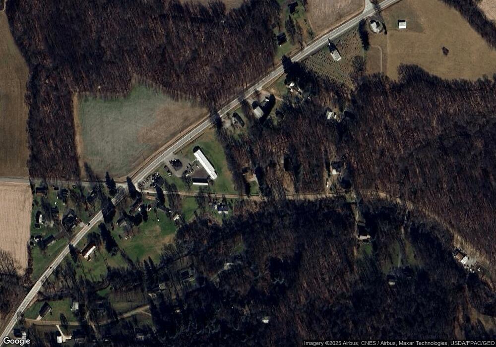
Map
Nearby Homes
- 14702 Wooster Rd
- 14499 Wooster Rd
- 13999 Wooster Rd
- 14914 N Liberty Rd
- 0 N Liberty Rd
- 17970 Scott Rd
- 14021 Gilchrist Rd
- 13618 Gilchrist Rd
- 12627 Upper Gilchrist Rd
- 1737 Vernonview Dr
- 0 Hyatt Rd
- 15770 Pleasant View Rd
- 15745 Lower Fredericktown Amity Rd
- 188 Plymouth Rd
- 0 Crooked St
- 117 Colonial Woods Dr
- 14021 Old Mansfield Rd
- 104 Colonial Woods Dr Unit 4
- 0 Indian Hills Rd
- 14835 Indian Hills Rd
- 17323 Proper Rd
- 17244 Proper Rd
- 14608 Wooster Rd
- 14608 Wooster Rd
- Lot 8 Burgess Dr
- Lot 9 Burgess Dr
- 17365 Proper Rd
- 17281 Hillside Dr
- 14676 Wooster Rd
- 17237 Proper Rd
- 14692 Wooster Rd
- 17200 Proper Rd
- 17241 Hillside Dr
- 14510 Wooster Rd
- 14764 Wooster Rd
- 17235 Hillside Dr
- 17100 Proper Rd
- 17320 Hillside Dr
- 0 Proper Rd Unit 224028035
- 0 Proper Rd Unit 20240460