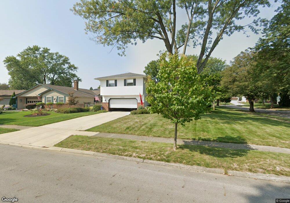
1723 Balsamridge Rd Columbus, OH 43229
Northgate NeighborhoodEstimated Value: $315,000 - $336,000
4
Beds
3
Baths
1,798
Sq Ft
$181/Sq Ft
Est. Value
About This Home
This home is located at 1723 Balsamridge Rd, Columbus, OH 43229 and is currently estimated at $324,548, approximately $180 per square foot. 1723 Balsamridge Rd is a home located in Franklin County with nearby schools including Alpine Elementary School, Northgate Intermediate, and Woodward Park Middle School.
Ownership History
Date
Name
Owned For
Owner Type
Purchase Details
Closed on
Dec 8, 1998
Sold by
Connor Thomas S and Connor Linda M
Bought by
Beard Robert A and Beard Kelsey M
Current Estimated Value
Home Financials for this Owner
Home Financials are based on the most recent Mortgage that was taken out on this home.
Original Mortgage
$118,550
Outstanding Balance
$27,278
Interest Rate
6.93%
Estimated Equity
$297,270
Purchase Details
Closed on
May 1, 1995
Sold by
Jones John K
Bought by
Connor Thomas S and Connor Linda M
Home Financials for this Owner
Home Financials are based on the most recent Mortgage that was taken out on this home.
Original Mortgage
$111,145
Interest Rate
8.42%
Mortgage Type
FHA
Purchase Details
Closed on
Jul 2, 1990
Purchase Details
Closed on
Jan 1, 1984
Create a Home Valuation Report for This Property
The Home Valuation Report is an in-depth analysis detailing your home's value as well as a comparison with similar homes in the area
Home Values in the Area
Average Home Value in this Area
Purchase History
| Date | Buyer | Sale Price | Title Company |
|---|---|---|---|
| Beard Robert A | $124,800 | Transohio Title | |
| Connor Thomas S | $112,000 | -- | |
| -- | $96,500 | -- | |
| -- | $79,000 | -- |
Source: Public Records
Mortgage History
| Date | Status | Borrower | Loan Amount |
|---|---|---|---|
| Open | Beard Robert A | $118,550 | |
| Previous Owner | Connor Thomas S | $111,145 |
Source: Public Records
Tax History Compared to Growth
Tax History
| Year | Tax Paid | Tax Assessment Tax Assessment Total Assessment is a certain percentage of the fair market value that is determined by local assessors to be the total taxable value of land and additions on the property. | Land | Improvement |
|---|---|---|---|---|
| 2024 | $4,122 | $91,840 | $22,610 | $69,230 |
| 2023 | $3,954 | $89,250 | $22,610 | $66,640 |
| 2022 | $3,375 | $65,070 | $17,850 | $47,220 |
| 2021 | $3,381 | $65,070 | $17,850 | $47,220 |
| 2020 | $3,385 | $65,070 | $17,850 | $47,220 |
| 2019 | $3,170 | $52,260 | $14,280 | $37,980 |
| 2018 | $2,806 | $52,260 | $14,280 | $37,980 |
| 2017 | $2,933 | $52,260 | $14,280 | $37,980 |
| 2016 | $2,697 | $40,710 | $8,650 | $32,060 |
| 2015 | $2,448 | $40,710 | $8,650 | $32,060 |
| 2014 | $2,454 | $40,710 | $8,650 | $32,060 |
| 2013 | $1,344 | $45,220 | $9,590 | $35,630 |
Source: Public Records
Map
Nearby Homes
- 6342 Bellmeadow Dr
- 6407 Faircrest Rd
- 6458 Faircrest Rd
- 6407 Skywae Dr
- 1549 Alpine Dr
- 6245 Sharon Woods Blvd
- 6355 Johnanne St
- 1635 Tendril Ct
- 6035 Karl Rd
- 1421 Bosworth Place
- 1409 Bosworth Place
- 6019 Beechcroft Rd
- 6496 Hearthstone Ave
- 1268 Kildale Ct
- 1755 Hillandale Ave
- 1288 Oakfield Dr N
- 6448 Sharon Woods Blvd Unit B
- 1294 Clydesdale Ct
- 1322 Bolenhill Ct
- 5990 Ambleside Dr
- 1727 Balsamridge Rd
- 1703 Dorsetshire Rd
- 6298 Bellmeadow Dr
- 1731 Balsamridge Rd
- 1734 Balsamridge Rd
- 1718 Dorsetshire Rd
- 1710 Dorsetshire Rd
- 1726 Dorsetshire Rd
- 6286 Bellmeadow Dr
- 1738 Dorsetshire Rd
- 6326 Bellmeadow Dr
- 1742 Balsamridge Rd
- 1749 Dorsetshire Rd
- 6278 Bellmeadow Dr
- 1735 Balsamridge Rd
- 1746 Dorsetshire Rd
- 1750 Balsamridge Rd
- 1721 Staffordshire Rd
- 1727 Staffordshire Rd
- 1709 Staffordshire Rd