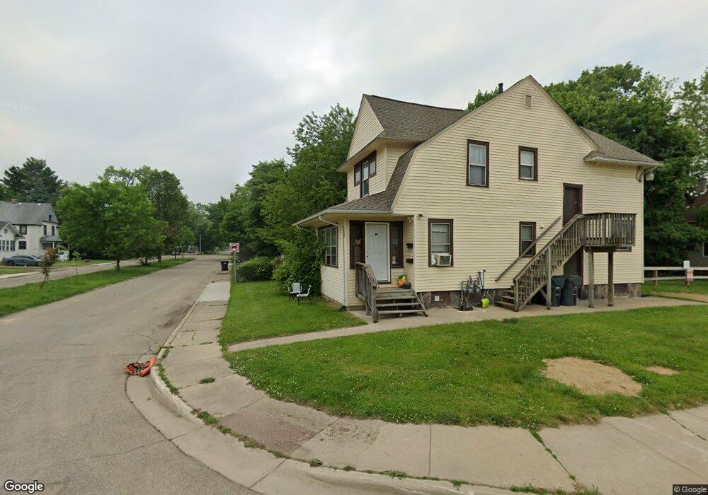
1723 Lay Blvd Kalamazoo, MI 49001
Edison NeighborhoodEstimated Value: $92,000 - $147,000
4
Beds
2
Baths
1,616
Sq Ft
$79/Sq Ft
Est. Value
About This Home
This home is located at 1723 Lay Blvd, Kalamazoo, MI 49001 and is currently estimated at $127,817, approximately $79 per square foot. 1723 Lay Blvd is a home located in Kalamazoo County with nearby schools including Milwood Elementary School, Milwood Magnet School, and Loy Norrix High School.
Ownership History
Date
Name
Owned For
Owner Type
Purchase Details
Closed on
Jul 21, 2010
Sold by
Donovan Shaun
Bought by
Pisipati Bhaskar
Current Estimated Value
Purchase Details
Closed on
Jun 19, 2009
Sold by
Wells Fargo Bank Na
Bought by
The Secretary Of Housing & Urban Develop
Purchase Details
Closed on
Dec 18, 2008
Sold by
Osler Camarstro M and Osler Marie A
Bought by
Wells Fargo Bank Na
Purchase Details
Closed on
Oct 25, 2004
Sold by
Osler Camaistro and Osler Marie
Bought by
Creative Properties Management
Purchase Details
Closed on
Aug 23, 2004
Sold by
Riggins Michael H and Riggins Connie K
Bought by
Osler Camarstro M and Osler Marie A
Home Financials for this Owner
Home Financials are based on the most recent Mortgage that was taken out on this home.
Original Mortgage
$81,200
Interest Rate
6.08%
Mortgage Type
FHA
Create a Home Valuation Report for This Property
The Home Valuation Report is an in-depth analysis detailing your home's value as well as a comparison with similar homes in the area
Home Values in the Area
Average Home Value in this Area
Purchase History
| Date | Buyer | Sale Price | Title Company |
|---|---|---|---|
| Pisipati Bhaskar | $15,000 | None Available | |
| The Secretary Of Housing & Urban Develop | -- | None Available | |
| Wells Fargo Bank Na | $82,738 | None Available | |
| Creative Properties Management | -- | -- | |
| Osler Camarstro M | $82,500 | Devon Title |
Source: Public Records
Mortgage History
| Date | Status | Borrower | Loan Amount |
|---|---|---|---|
| Previous Owner | Osler Camarstro M | $81,200 |
Source: Public Records
Tax History Compared to Growth
Tax History
| Year | Tax Paid | Tax Assessment Tax Assessment Total Assessment is a certain percentage of the fair market value that is determined by local assessors to be the total taxable value of land and additions on the property. | Land | Improvement |
|---|---|---|---|---|
| 2025 | $1,611 | $66,800 | $0 | $0 |
| 2024 | $740 | $53,100 | $0 | $0 |
| 2023 | $588 | $47,200 | $0 | $0 |
| 2022 | $1,467 | $40,100 | $0 | $0 |
| 2021 | $1,417 | $29,300 | $0 | $0 |
| 2020 | $1,393 | $26,300 | $0 | $0 |
| 2019 | $1,345 | $21,500 | $0 | $0 |
| 2018 | $1,205 | $18,600 | $0 | $0 |
| 2017 | $1,322 | $18,900 | $0 | $0 |
| 2016 | $1,322 | $18,400 | $0 | $0 |
| 2015 | $1,322 | $18,200 | $0 | $0 |
| 2014 | $1,322 | $17,000 | $0 | $0 |
Source: Public Records
Map
Nearby Homes
- 1424 Lay Blvd
- 1719 Palmer Ave
- 1939 March St
- 1707 E Stockbridge Ave
- 1510 Palmer Ave
- 1224 Lane Blvd
- 1517 E Stockbridge Ave
- 2008 E Stockbridge Ave
- 1118 Lane Blvd
- 1303 E Stockbridge Ave
- 1118 E Alcott St
- 1028 Clinton Ave
- 1212 Washington Ave
- 619 Lake St
- 1002 Egleston Ave
- 915 Hays Park Ave
- 1512 Race St
- 1211 James St
- 855 Lay Blvd
- 923 E Stockbridge Ave