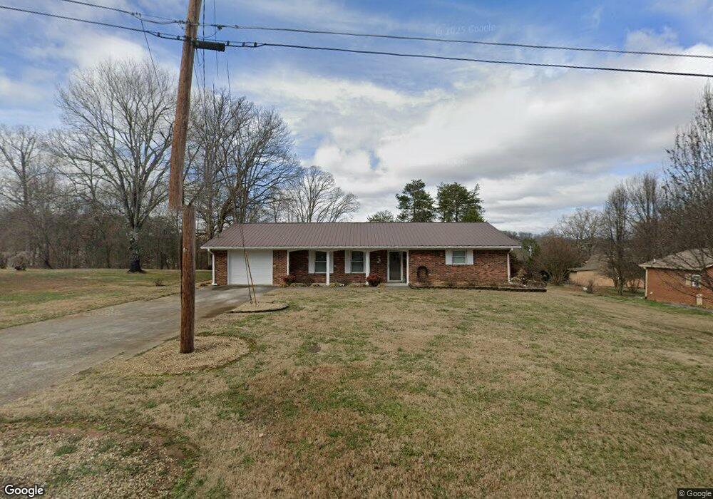
1723 Maplecrest Dr Louisville, TN 37777
Estimated Value: $299,495 - $380,000
--
Bed
2
Baths
1,370
Sq Ft
$245/Sq Ft
Est. Value
About This Home
This home is located at 1723 Maplecrest Dr, Louisville, TN 37777 and is currently estimated at $336,124, approximately $245 per square foot. 1723 Maplecrest Dr is a home located in Blount County with nearby schools including Middle Settlements Elementary School, Union Grove Middle School, and William Blount High School.
Ownership History
Date
Name
Owned For
Owner Type
Purchase Details
Closed on
Mar 3, 2017
Sold by
Belcher Douglas W
Bought by
Belcher Dogulas W
Current Estimated Value
Purchase Details
Closed on
Jul 22, 2003
Sold by
Boring James and Boring Ina Ruth
Bought by
Belcher Douglas W
Purchase Details
Closed on
Aug 30, 1971
Bought by
Boring James and Ina Ruth
Create a Home Valuation Report for This Property
The Home Valuation Report is an in-depth analysis detailing your home's value as well as a comparison with similar homes in the area
Home Values in the Area
Average Home Value in this Area
Purchase History
| Date | Buyer | Sale Price | Title Company |
|---|---|---|---|
| Belcher Dogulas W | -- | -- | |
| Belcher Douglas W | $92,400 | -- | |
| Boring James | -- | -- |
Source: Public Records
Tax History Compared to Growth
Tax History
| Year | Tax Paid | Tax Assessment Tax Assessment Total Assessment is a certain percentage of the fair market value that is determined by local assessors to be the total taxable value of land and additions on the property. | Land | Improvement |
|---|---|---|---|---|
| 2025 | $978 | $61,525 | $0 | $0 |
| 2024 | $978 | $61,525 | $6,875 | $54,650 |
| 2023 | $978 | $61,525 | $6,875 | $54,650 |
| 2022 | $869 | $35,175 | $6,200 | $28,975 |
| 2021 | $869 | $35,175 | $6,200 | $28,975 |
| 2020 | $869 | $35,175 | $6,200 | $28,975 |
| 2019 | $869 | $35,175 | $6,200 | $28,975 |
| 2018 | $781 | $31,625 | $6,300 | $25,325 |
| 2017 | $781 | $31,625 | $6,300 | $25,325 |
| 2016 | $781 | $31,625 | $6,300 | $25,325 |
| 2015 | $680 | $31,625 | $6,300 | $25,325 |
| 2014 | $714 | $31,625 | $6,300 | $25,325 |
| 2013 | $714 | $33,200 | $0 | $0 |
Source: Public Records
Map
Nearby Homes
- 1740 Maplecrest Dr
- 2209 Marble Cir
- 807 Killion St
- 1465 Johnathan Dr
- 1328 Hillvale Rd
- 3601 Wellington Ln
- 4505 Sing Ln
- 3609 Lakeside Dr
- 4656 Singleton Station Rd
- 4089 Glenmore Dr
- 3953 Wrights Ferry Rd
- 4608 Lakeview Rd
- 4078 Glenmore Dr
- 505 Cusick Rd
- 2840 Spruce Hill Rd
- 2337 Airbase Rd
- 4036 Wrights Ferry Rd
- 4220 Reed Rd
- 4868 Tva Lab Rd
- 316 Rockford Walker Ct
- 1719 Maplecrest Dr
- 1722 Maplecrest Dr
- 1729 Maplecrest Dr
- 1713 Maplecrest Dr
- 1716 Maplecrest Dr
- 1733 Maplecrest Dr
- 1709 Maplecrest Dr
- 2215 Stonybrook Rd
- 2219 Stonybrook Rd
- 3249 Wrights Ferry Rd
- 1710 Maplecrest Dr
- 1737 Maplecrest Dr
- 3247 Wrights Ferry Rd
- 3247 Wrights Ferry Rd
- 1703 Maplecrest Dr
- 2225 Stonybrook Rd
- 2205 Stonybrook Rd
- 1704 Maplecrest Dr
- 2216 Stonybrook Rd
- 1741 Maplecrest Dr