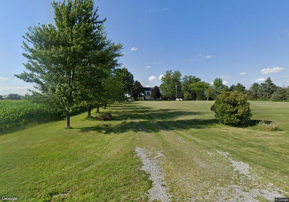
17233 County Road K West Unity, OH 43570
Estimated Value: $220,543 - $255,000
3
Beds
1
Bath
1,760
Sq Ft
$134/Sq Ft
Est. Value
About This Home
This home is located at 17233 County Road K, West Unity, OH 43570 and is currently estimated at $236,136, approximately $134 per square foot. 17233 County Road K is a home located in Williams County with nearby schools including Hilltop Elementary School and Hilltop High School.
Ownership History
Date
Name
Owned For
Owner Type
Purchase Details
Closed on
Oct 3, 2022
Sold by
Ridgway Anthony R
Bought by
Ridgway Anthony R and Noggle Stephan
Current Estimated Value
Purchase Details
Closed on
Jul 30, 2022
Sold by
Holmes Andra J and Holmes John
Bought by
Ridgway Anthony R and Noggle Stephan
Purchase Details
Closed on
Oct 27, 2021
Sold by
Estate Of Rex J Ridgway
Bought by
Ridgway Anthony R and Ridgway Andrew L
Purchase Details
Closed on
Nov 10, 2020
Sold by
Estate Of Betty Jo Ridgway
Bought by
Ridgway Rex J
Purchase Details
Closed on
Jan 1, 1990
Bought by
Ridgway Rex J and Ridgway Betty J
Create a Home Valuation Report for This Property
The Home Valuation Report is an in-depth analysis detailing your home's value as well as a comparison with similar homes in the area
Purchase History
| Date | Buyer | Sale Price | Title Company |
|---|---|---|---|
| Ridgway Anthony R | -- | -- | |
| Ridgway Anthony R | -- | Newcomer Shaffer Spangler Brei | |
| Ridgway Anthony R | -- | None Available | |
| Ridgway Rex J | -- | None Available | |
| Ridgway Rex J | -- | -- |
Source: Public Records
Tax History
| Year | Tax Paid | Tax Assessment Tax Assessment Total Assessment is a certain percentage of the fair market value that is determined by local assessors to be the total taxable value of land and additions on the property. | Land | Improvement |
|---|---|---|---|---|
| 2025 | $2,391 | $66,360 | $20,930 | $45,430 |
| 2024 | $2,391 | $66,360 | $20,930 | $45,430 |
| 2023 | $2,437 | $52,920 | $19,110 | $33,810 |
| 2022 | $2,298 | $52,920 | $19,110 | $33,810 |
| 2021 | $1,923 | $52,920 | $19,110 | $33,810 |
| 2020 | $1,602 | $44,560 | $16,380 | $28,180 |
| 2019 | $1,593 | $44,560 | $16,380 | $28,180 |
| 2018 | $807 | $44,560 | $16,380 | $28,180 |
| 2017 | $1,322 | $38,430 | $12,040 | $26,390 |
| 2016 | $1,263 | $38,430 | $12,040 | $26,390 |
| 2015 | $1,394 | $38,430 | $12,040 | $26,390 |
| 2014 | $1,394 | $38,430 | $12,040 | $26,390 |
| 2013 | $1,389 | $38,430 | $12,040 | $26,390 |
Source: Public Records
Map
Nearby Homes
- 16806 US Highway 20a
- 14640 U S 20a
- 309 S Defiance St
- 000 W Jackson
- 106 W Catherine St
- 0 St Rt 15 Unit 10001011
- 20095 County Road H50
- 902 E Church St
- 0 US Highway 20a
- 7100 County Road 15-50
- 16299 County Road F75
- 22227 Us Highway 20a
- 13810 Williams County G
- 6695 Ohio 15
- 13 W Brown Rd
- 00 W Brown Rd
- 612 S Pleasant St
- 323 Morris Dr
- 109 N Pleasant St
- 104 E Main St
- 17450 County Road K
- 11405 County Road 17
- 16707 Co Rd K County Rd
- 14050 County Road 17-75
- 0000 County Road 17-75
- 10561 County Road 17
- 10527 County Road 17
- 11616 County Road 17
- 16679 County Road K
- 17852 County Road K
- 11650 County Road 17
- 10599 County Road 1775
- 10599 County Road 17-75
- 17893 County Road K
- 11398 County Road 1775
- 10582 County Road 1775
- 11444 County Road 17-75
- 11432 County Road 1775
- 11444 County Road 1775
- 10540 County Road 1775
Your Personal Tour Guide
Ask me questions while you tour the home.