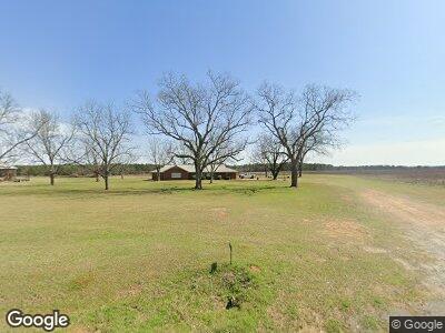
17237 Ga Highway 41 Weston, GA 31832
Estimated Value: $220,000 - $990,244
3
Beds
3
Baths
2,982
Sq Ft
$203/Sq Ft
Est. Value
About This Home
This home is located at 17237 Ga Highway 41, Weston, GA 31832 and is currently estimated at $605,122, approximately $202 per square foot. 17237 Ga Highway 41 is a home located in Webster County with nearby schools including Webster County Elementary/Middle School and Webster County High School.
Ownership History
Date
Name
Owned For
Owner Type
Purchase Details
Closed on
Dec 1, 2024
Sold by
Goodwin Brothers Farm Llc
Bought by
Nochaway Properties Llc
Current Estimated Value
Purchase Details
Closed on
Jul 29, 2011
Sold by
Goodwin Raymond Jesse
Bought by
Goodwin Brothers Farm Llc
Create a Home Valuation Report for This Property
The Home Valuation Report is an in-depth analysis detailing your home's value as well as a comparison with similar homes in the area
Home Values in the Area
Average Home Value in this Area
Purchase History
| Date | Buyer | Sale Price | Title Company |
|---|---|---|---|
| Nochaway Properties Llc | -- | -- | |
| Nochaway Properties Llc | -- | -- | |
| Goodwin Turner Edwina | -- | -- | |
| Goodwin Turner Edwina | -- | -- | |
| Nochaway Properties Llc | -- | -- | |
| Goodwin Brothers Farm Llc | -- | -- |
Source: Public Records
Tax History Compared to Growth
Tax History
| Year | Tax Paid | Tax Assessment Tax Assessment Total Assessment is a certain percentage of the fair market value that is determined by local assessors to be the total taxable value of land and additions on the property. | Land | Improvement |
|---|---|---|---|---|
| 2024 | $6,657 | $303,600 | $244,040 | $59,560 |
| 2023 | $4,880 | $303,600 | $244,040 | $59,560 |
| 2022 | $7,843 | $300,880 | $244,040 | $56,840 |
| 2021 | $4,573 | $300,880 | $244,040 | $56,840 |
| 2020 | $4,485 | $300,880 | $244,040 | $56,840 |
| 2019 | $4,398 | $300,880 | $244,040 | $56,840 |
| 2018 | $4,314 | $300,880 | $244,040 | $56,840 |
| 2017 | $4,232 | $300,880 | $244,040 | $56,840 |
| 2016 | $4,153 | $300,880 | $244,040 | $56,840 |
| 2015 | -- | $300,880 | $244,040 | $56,840 |
| 2014 | -- | $300,880 | $244,040 | $56,840 |
| 2013 | -- | $300,880 | $244,040 | $56,840 |
Source: Public Records
Map
Nearby Homes
- 2055 Payne Pond Rd
- 115 Deer Camp Rd
- 540 Veneys Mill Pond Rd
- 318 Church St
- 161 College St
- 109 Main St
- 0 Rd Unit 11290139
- 4283 W Centerpoint Rd
- 621 Alston St
- 000 Broad St
- 6414 Hamilton St
- 0 Broad St
- 749 Recreation Camp Rd
- 133 Winter Dr
- 4015 Warner Rd
- 34 Liberty St
- 2190 Broad St
- 4667 Warner Rd
- 3270 Warner Rd
- Lumpkin Bypass Us Highway 27