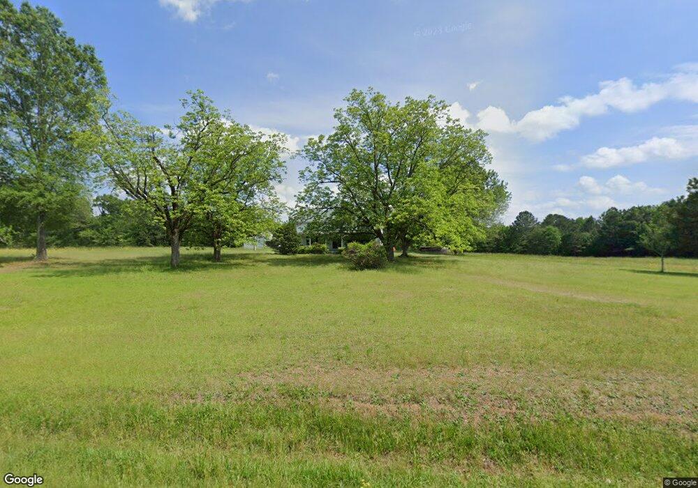
1724 Broad Rd Tignall, GA 30668
Estimated Value: $188,353 - $337,000
4
Beds
1
Bath
2,376
Sq Ft
$114/Sq Ft
Est. Value
About This Home
This home is located at 1724 Broad Rd, Tignall, GA 30668 and is currently estimated at $271,784, approximately $114 per square foot. 1724 Broad Rd is a home located in Wilkes County with nearby schools including Washington-Wilkes Elementary School, Washington-Wilkes Primary School, and Washington-Wilkes Middle School.
Ownership History
Date
Name
Owned For
Owner Type
Purchase Details
Closed on
Dec 19, 2024
Sold by
Moone David N
Bought by
Hobbs Lori and Moone David N
Current Estimated Value
Purchase Details
Closed on
Apr 1, 1991
Bought by
Moone Wade F and Moone David
Purchase Details
Closed on
Mar 1, 1991
Purchase Details
Closed on
Sep 1, 1987
Purchase Details
Closed on
Sep 1, 1983
Purchase Details
Closed on
Feb 1, 1983
Create a Home Valuation Report for This Property
The Home Valuation Report is an in-depth analysis detailing your home's value as well as a comparison with similar homes in the area
Purchase History
| Date | Buyer | Sale Price | Title Company |
|---|---|---|---|
| Hobbs Lori | -- | -- | |
| Moone Wade F | $11,200 | -- | |
| -- | $13,000 | -- | |
| -- | $10,000 | -- | |
| -- | $3,300 | -- | |
| -- | $20,000 | -- |
Source: Public Records
Tax History
| Year | Tax Paid | Tax Assessment Tax Assessment Total Assessment is a certain percentage of the fair market value that is determined by local assessors to be the total taxable value of land and additions on the property. | Land | Improvement |
|---|---|---|---|---|
| 2025 | $1,198 | $42,126 | $14,148 | $27,978 |
| 2024 | $1,219 | $42,126 | $14,148 | $27,978 |
| 2023 | $1,199 | $42,126 | $14,148 | $27,978 |
| 2022 | $1,199 | $42,126 | $14,148 | $27,978 |
| 2021 | $1,227 | $42,126 | $14,148 | $27,978 |
| 2020 | $1,249 | $42,126 | $14,148 | $27,978 |
| 2019 | $1,260 | $42,126 | $14,148 | $27,978 |
| 2018 | $1,223 | $42,126 | $14,148 | $27,978 |
| 2017 | $1,223 | $42,126 | $14,148 | $27,978 |
| 2016 | $1,154 | $39,912 | $14,148 | $25,764 |
| 2015 | -- | $14,148 | $14,148 | $25,764 |
| 2014 | -- | $39,912 | $14,148 | $25,764 |
| 2013 | -- | $39,911 | $14,148 | $25,763 |
Source: Public Records
Map
Nearby Homes
- 2973 River Rd
- 0 Rogers Rd Unit 10683069
- 0 Anthony Shoals Rd
- 1302 River Rd
- 2724 Bells Ferry Rd
- 0 Delhi Rd Unit 10679575
- 1 Bunch Rd
- 4 Bunch Rd
- 191 Bunch Rd
- 129 Wooten West St
- 179 Independence St
- Lot 14b Lbk Cir
- 0 Lincolnton Hwy Unit 10710010
- 0 Lbk Rd Unit 32C
- 8544 Elberton Hwy
- 1098 Broad River Scenic Dr
- 2470 Dr George Ward Rd
- 0 Windward Harbor Dr Unit 10702130
- 0 Windward Harbor Dr Unit CL350625
- 0 Windward Harbor Dr Unit 7728992
- 1697 Broad Rd
- 1672 Broad Rd
- 1788 Broad Rd
- 1613 Broad Rd
- 157 Wansley Rd
- 1834 Broad Rd
- 179 Wansley Rd
- 241 Wansley Rd
- 1587 Broad Rd Trct C
- 334 Wansley
- 334 Wansley Rd
- 2196 Henry Hill Rd
- 2100 Henry Hill Rd
- 2050 Broad Rd
- 2245 Henry Hill Rd
- 2243 Henry Hill Rd
- 2064 Broad Rd
- 2088 Broad Rd
- 2087 Broad Rd
- 1979 Broad Rd
Your Personal Tour Guide
Ask me questions while you tour the home.